
Interstate 80
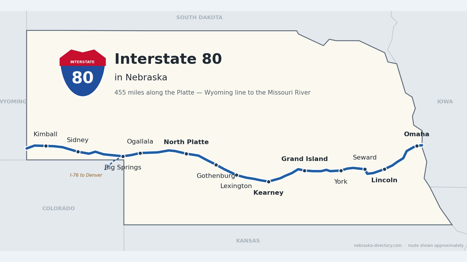
Interstate 80: The Platte River Road
From the Wyoming line near Pine Bluffs to the Missouri River at Omaha, Interstate 80 crosses 455 miles of Nebraska. It follows Lodgepole Creek and the South Platte to North Platte, rides the Platte valley past Kearney and Grand Island, and then turns east to Lincoln and Omaha—the busiest road in the state.
Explore Interstate 80 by County
Interstate 80 crosses 15 Nebraska counties, west to east. Open a county page to see all of its towns and places.
Runza along I‑80
Runza along I‑80
- Omaha Runza Locations
Before it was 80.
Long before the interstate, this was the Great Platte River Road. Oregon- and California-bound emigrants followed the south bank of the Platte, and from 1846 Mormon pioneers set out from Winter Quarters, in present-day north Omaha, along the north bank. The Union Pacific broke ground in Omaha on December 2, 1863, reached North Platte on December 3, 1866, and in 1867 built up Lodgepole Creek toward Cheyenne.
The Lincoln Highway, dedicated on October 31, 1913, crossed Nebraska through Fremont, Columbus, Grand Island, Kearney, North Platte, Ogallala and Sidney—about 450 miles—and became US 30 in 1926. Its last Nebraska section was paved in 1935. In 1919 an Army truck convoy crossed the state on that road with a young officer named Dwight Eisenhower aboard; in 1956, as president, he signed the Federal-Aid Highway Act that created the Interstate system.
Building the interstate.
Nebraska's first long stretch, 52 miles from Dodge Street in Omaha to West Lincoln, opened on August 11, 1961. Grand Island to Kearney followed in 1963, and in December 1966 the Giltner–Henderson link gave a continuous freeway from North Platte to Omaha. On October 19, 1974, the last concrete was poured about five miles west of Sidney, and Nebraska became the first state to complete its mainline Interstate. Brass plates set in the pavement there—the "Golden Link"—echo the golden spike of the first transcontinental railroad.
For the nation's Bicentennial, Nebraska placed modern sculptures at I-80 rest areas across the state—the "500 Mile Sculpture Garden," dedicated on July 4, 1976. Look for "Erma's Desire" near Grand Island, "Nebraska Wind Sculpture" near Kearney and "Crossing the Plains" near York.
Begin your journey at the Wyoming line in Kimball County. I-80 runs east along Lodgepole Creek past Kimball and Sidney, reaches the South Platte at Big Springs—where I-76 splits off for Denver—and follows the river past Ogallala to North Platte. The Platte valley then carries it past Lexington, Kearney and Grand Island. East of Grand Island the interstate leaves the river, crosses the farm country around York and Seward, passes Lincoln, and crosses the Platte one last time before Omaha and the Missouri River.
Kimball County on Interstate 80
High plains at the Wyoming line.
On the road: Bushnell (exit 8) · Kimball (exits 20 and 22) · Dix (exit 29) · Kimball County page
I-80 enters Nebraska from Wyoming and follows Lodgepole Creek east across the high plains. Kimball, the county seat, sits at the junction with Nebraska Highway 71. Panorama Point, the highest spot in Nebraska at 5,429 feet, is in the county’s southwest corner, south of the interstate.
History along the road. The Union Pacific built up the Lodgepole Creek valley toward Cheyenne in 1867, and the Lincoln Highway later followed the rails through Bushnell, Kimball and Dix. That old road is still here as US 30, running beside the interstate.
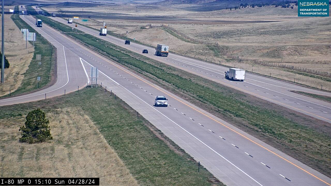
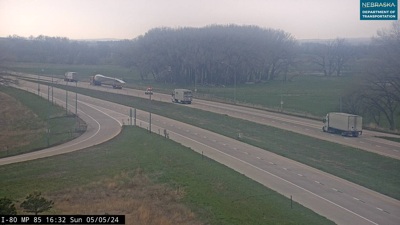
Live cameras. Images from Nebraska 511; click one to open it full size.
Cheyenne County on Interstate 80
Sidney and the Golden Link.
On the road: Potter (exit 38) · Sidney (exits 55 and 59) · Sunol (exit 69) · Lodgepole (exit 76) · Cheyenne County page
Sidney, the county seat, has services at exits 55 and 59, where US 385 heads north toward Bridgeport and Alliance.
History along the road. The Union Pacific founded Sidney in 1867, and the Army’s Sidney Barracks, later Fort Sidney, grew beside it. From 1876 to 1887 the Sidney–Black Hills Trail carried freight and gold seekers north to Deadwood. About five miles west of town, the last concrete of Nebraska’s I-80 was poured on October 19, 1974; the Golden Link marker telling that story stands at the eastbound rest area near mile 52.
Live cameras. Images from Nebraska 511; click one to open it full size.
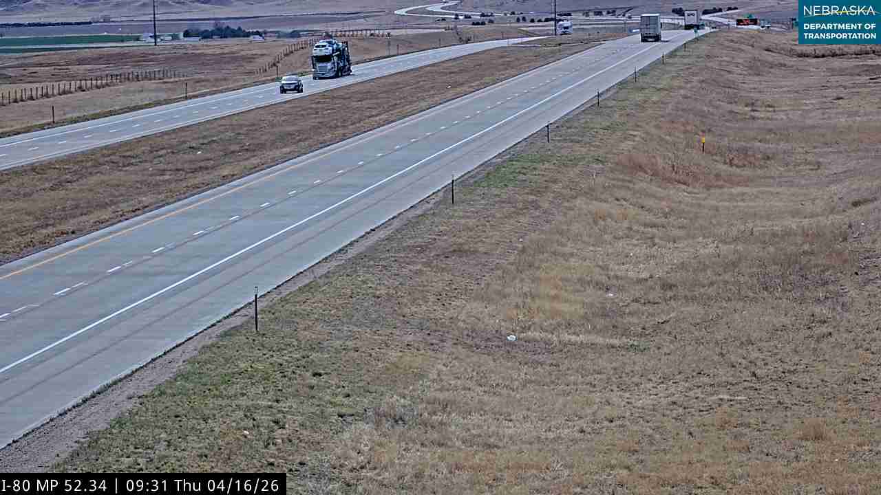
Deuel County on Interstate 80
Where I-76 splits for Denver.
On the road: Chappell (exit 85) · Big Springs (exits 101 and 107) · Deuel County page
I-80 leaves Lodgepole Creek near Chappell, the county seat, and reaches the South Platte valley at Big Springs. There Interstate 76 branches southwest to Denver at exit 102, and US 138 follows the river toward Julesburg, Colorado.
History along the road. On September 18, 1877, Sam Bass and his gang stopped a Union Pacific train at Big Springs and made off with about $60,000 in newly minted gold coins. From here east, the interstate, the railroad and the old Lincoln Highway share the Platte valley almost all the way to Grand Island.
Live cameras. Images from Nebraska 511; click one to open it full size.
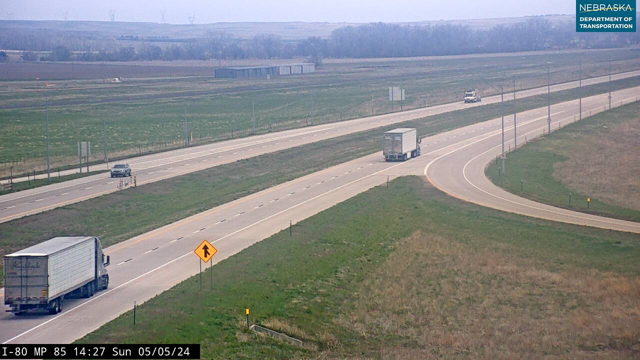
Keith County on Interstate 80
Ogallala, cowboy capital.
On the road: Brule (exit 117) · Ogallala (exit 126) · Roscoe (exit 133) · Paxton (exit 145) · Keith County page
Ogallala, the county seat, is the gateway to Lake McConaughy, Nebraska’s largest reservoir, about nine miles north on Nebraska Highway 61.
History along the road. From 1875 to 1886 Ogallala was a “cowboy capital” at the end of the Western Trail, where Texas herds met the Union Pacific. A few miles west of town was the Old California Crossing of the South Platte. The 1919 Army convoy rolled through Ogallala on the Lincoln Highway, and on December 11, 1968, Ogallala hosted the ribbon-cutting for the Sutherland–Big Springs stretch of I-80.
Live cameras. Images from Nebraska 511; click one to open it full size.
Lincoln County on Interstate 80
North Platte and the rails.
On the road: Sutherland (exit 158) · Hershey (exit 164) · North Platte (exits 177 and 179) · Maxwell (exit 190) · Brady (exit 199) · Lincoln County page
The North and South Platte rivers meet just east of North Platte, the county seat, where US 83 crosses the interstate at exit 177.
History along the road. The Union Pacific reached North Platte on December 3, 1866, and its Bailey Yard here is the largest railroad classification yard in the world. In 1886 Buffalo Bill Cody built his Scout’s Rest Ranch on the north side of town; it is now a state historical park.
Live cameras. Images from Nebraska 511; click one to open it full size.

Dawson County on Interstate 80
Pony Express country.
On the road: Gothenburg (exit 211) · Cozad (exit 222) · Darr (exit 231) · Lexington (exit 237) · Overton (exit 248) · Dawson County page
I-80 runs down the Platte valley past the county’s three main towns: Gothenburg, Cozad and Lexington, the county seat.
History along the road. Gothenburg’s Pony Express station, used in 1860–61, began as a trading post on the Oregon Trail and was moved to Ehmen Park, about a mile north of I-80, in 1931. The Union Pacific reached the 100th meridian at Cozad in October 1866, and old Lincoln Highway bridge abutments still stand at Overton.
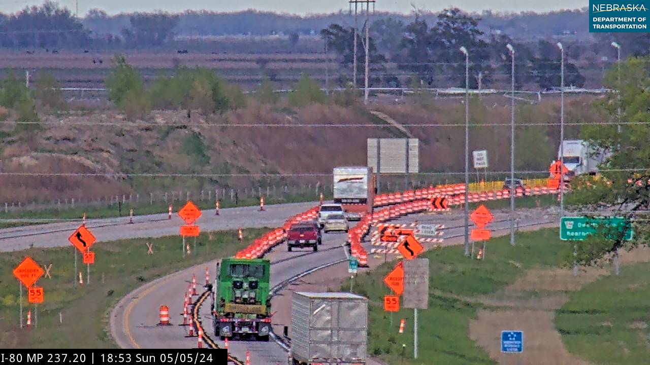
Live cameras. Images from Nebraska 511; click one to open it full size.
Buffalo County on Interstate 80
Kearney and the Archway.
On the road: Elm Creek (exit 257) · Odessa (exit 263) · Kearney (exits 272 and 275) · Gibbon (exit 285) · Shelton (exit 291) · Buffalo County page
Kearney, the county seat and home of the University of Nebraska at Kearney, is reached from exits 272 and 275, and the Great Platte River Road Archway spans the interstate just east of town. Each spring, hundreds of thousands of sandhill cranes gather on the Platte between Kearney and Grand Island.
History along the road. Kearney’s Lincoln Highway “seedling mile” of concrete was finished in November 1915, two weeks after Grand Island’s. Fort Kearny, built in 1848 to protect Oregon and California Trail emigrants and later a Pony Express station, stands across the Platte south of town as a state historical park. The Archway, opened on July 16, 2000, tells the story of the Great Platte River Road right over I-80.
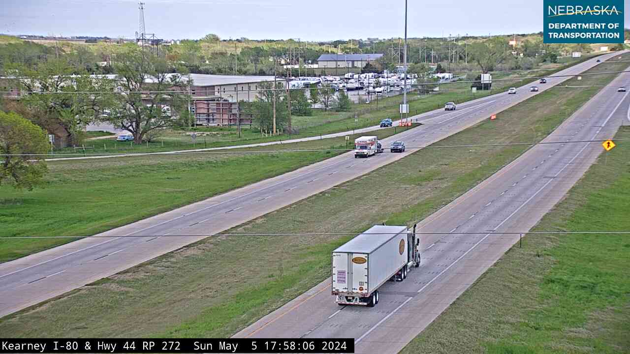
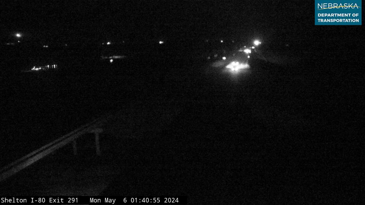
Live cameras. Images from Nebraska 511; click one to open it full size.
Hall County on Interstate 80
Grand Island and the first seedling mile.
On the road: Wood River (exit 300) · Alda (exit 305) · Grand Island (exits 312 and 314) · Hall County page
Grand Island, the county seat, lies a few miles north of the interstate; US 281 and US 34 meet I-80 at exit 312.
History along the road. Nebraska’s first Lincoln Highway seedling mile was finished near Grand Island on November 3, 1915, and a stretch of that original concrete survives on Seedling Mile Road. The Stuhr Museum of the Prairie Pioneer, opened in 1967, recreates an 1890s railroad town, and a marker at the westbound I-80 rest area recalls the Mormon migration along the Great Platte River Road.
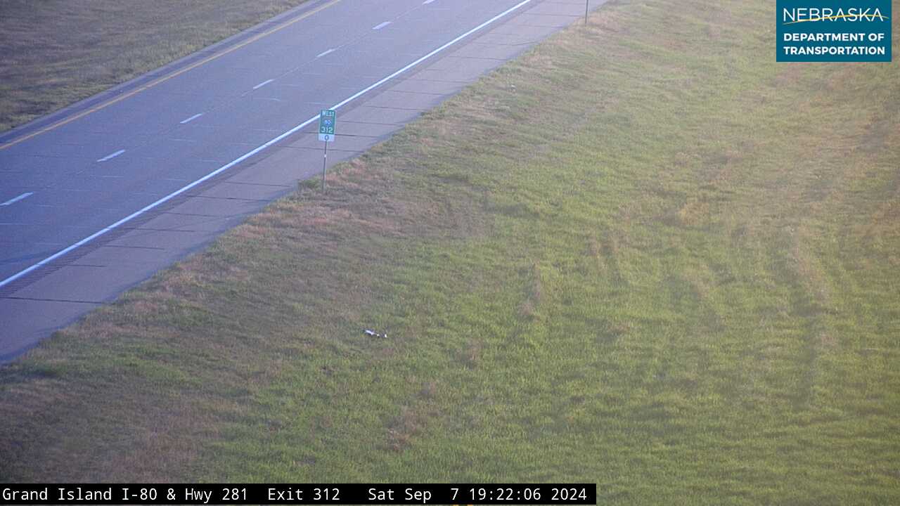
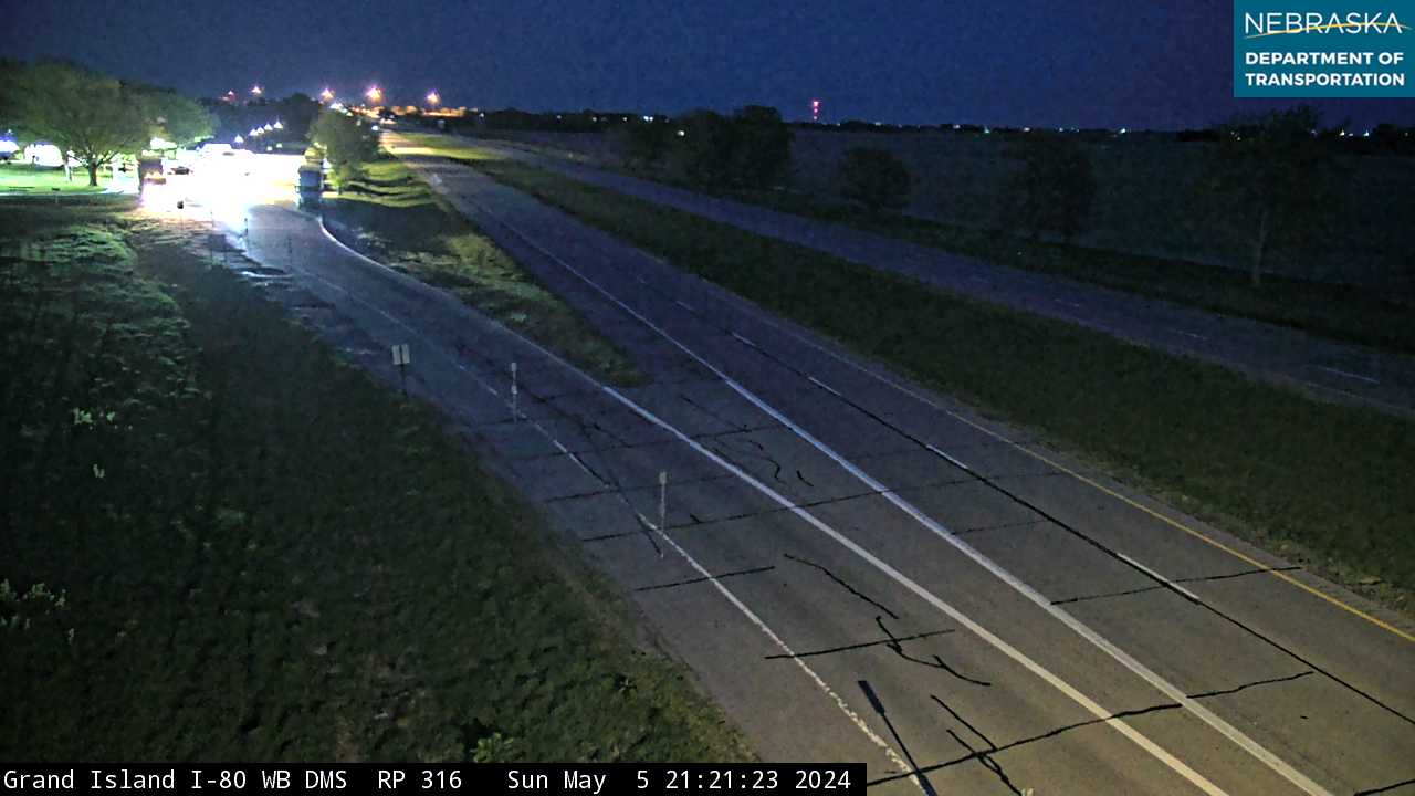
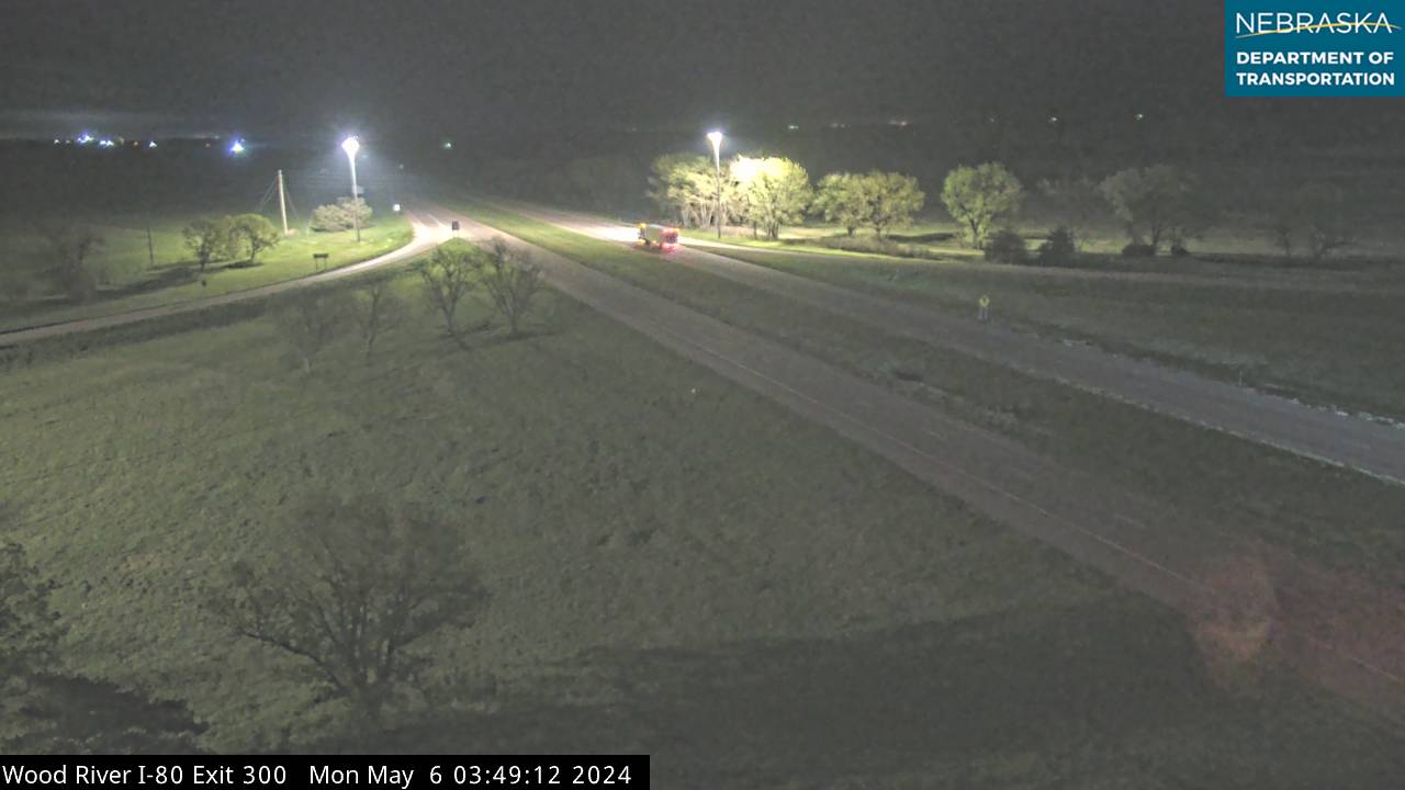
Live cameras. Images from Nebraska 511; click one to open it full size.
Hamilton County on Interstate 80
Leaving the Platte for the uplands.
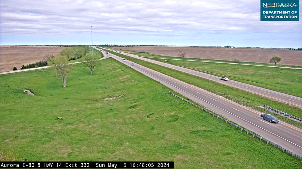
On the road: Phillips (exit 318) · Giltner (exit 324) · Aurora (exit 332) · Hampton (exit 338) · Hamilton County page
East of Grand Island the Platte bends northeast toward Columbus, and I-80 heads straight east across the uplands. Aurora, the county seat, is a few miles north of exit 332 on Nebraska Highway 14.
History along the road. The 18-mile Giltner–Henderson section, dedicated on December 3, 1966, closed the last gap between North Platte and Omaha and gave Nebraska a continuous freeway across the middle of the state.
Live cameras. Images from Nebraska 511; click one to open it full size.
York County on Interstate 80
Crossroads with US 81.
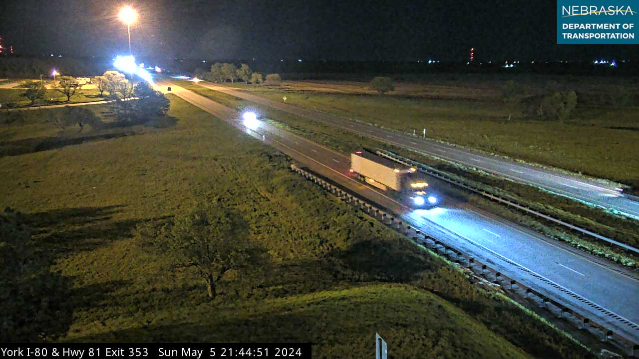
On the road: Henderson (exit 342) · Bradshaw (exit 348) · York (exit 353) · Waco (exit 360) · York County page
At York, the county seat, I-80 crosses US Highway 81—the old Meridian Highway—and US 34 runs through town.
History along the road. D. N. Smith surveyed York’s townsite in 1869, and the Burlington & Missouri River Railroad arrived in 1877. The York rest area holds “Crossing the Plains,” one of the 1976 Bicentennial sculptures, along with a marker about the sculpture project.
Live cameras. Images from Nebraska 511; click one to open it full size.
Seward County on Interstate 80
Seward, Milford and the Big Blue.
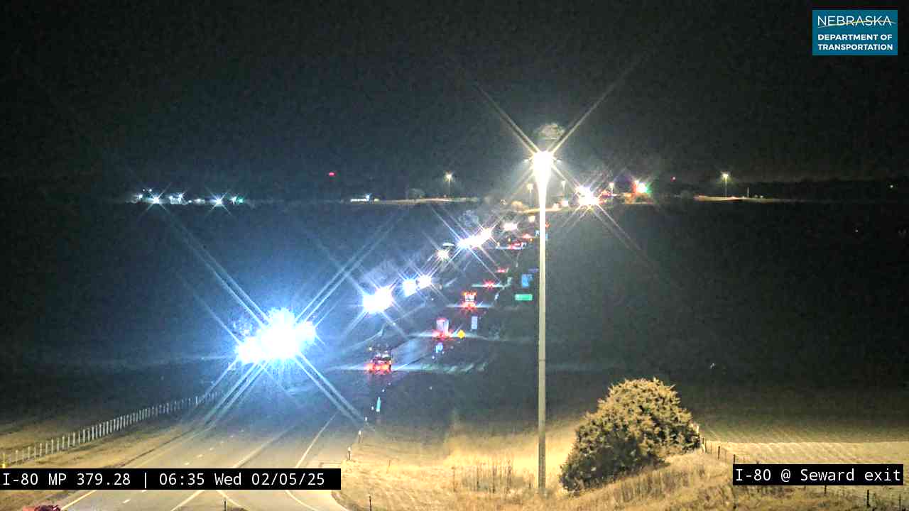
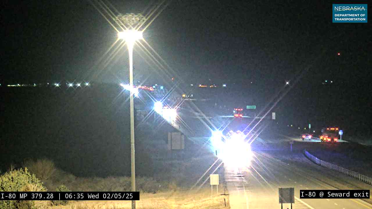
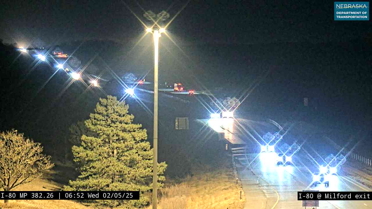
On the road: Utica (exit 366) · Beaver Crossing (exit 369) · Goehner (exit 373) · Seward (exit 379) · Milford (exit 382) · Pleasant Dale (exit 388) · Seward County page
Seward, the county seat, is a few miles north of exit 379 on Nebraska Highway 15, and Milford sits on the Big Blue River just south of exit 382.
History along the road. East of Milford, US 6—the old Detroit–Lincoln–Denver Highway of 1920—runs beside I-80 almost all the way to Omaha. “Arrival,” one of the 1976 Bicentennial sculptures, stands at an I-80 rest area in the county.
Live cameras. Images from Nebraska 511; click one to open it full size.
Lancaster County on Interstate 80
The capital city.
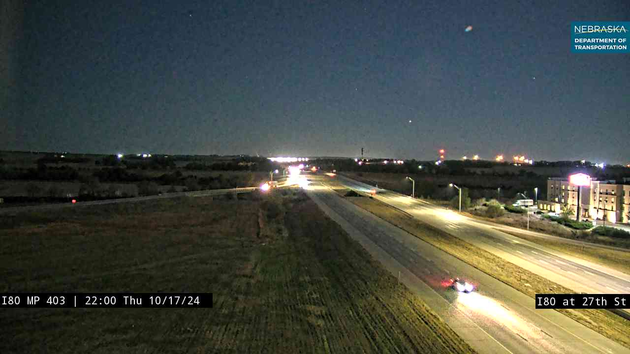
On the road: Lincoln (exits 395 to 405) · Waverly (exit 409) · Lancaster County page
I-80 skirts the north side of Lincoln, Nebraska’s capital; I-180 at exit 401 leads straight downtown.
History along the road. Nebraska’s first long stretch of interstate—52 miles from Dodge Street in Omaha to West Lincoln—opened on August 11, 1961. Despite its name, the Lincoln Highway never passed through Lincoln; the city’s early coast-to-coast route was the Detroit–Lincoln–Denver Highway, later US 6.
Live cameras. Images from Nebraska 511; click one to open it full size.

Cass County on Interstate 80
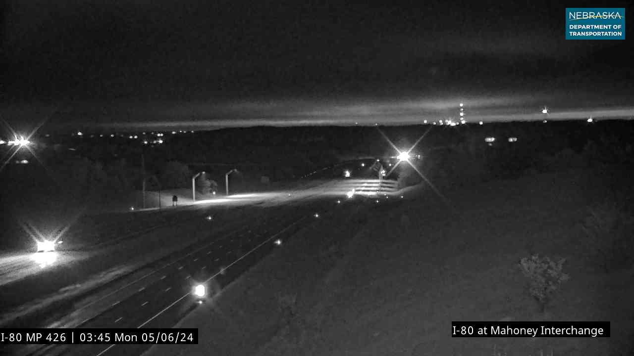
Mahoney and the Platte.
On the road: Greenwood (exit 420) · South Bend and Mahoney State Park (exit 426) · Ashland, just across the line in Saunders County · Cass County page
Between Lincoln and Omaha the interstate crosses rolling farm country, then drops to the Platte River, which it crosses at the Cass–Sarpy county line.
History along the road. Eugene T. Mahoney State Park opened in 1991 on the bluffs above the Platte at exit 426, and the Lee G. Simmons Wildlife Safari Park is a short drive north toward Ashland.
Live cameras. Images from Nebraska 511; click one to open it full size.
Sarpy County on Interstate 80
Gretna and the last Platte crossing.
On the road: Gretna (exit 432) · Sarpy County page
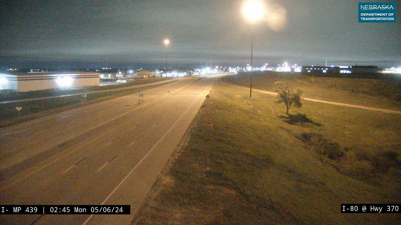
Gretna sits at exit 432, and Omaha’s southwest suburbs begin at exit 439, Nebraska Highway 370.
History along the road. Just west of Gretna the interstate crosses the Platte for the last time. The same river guided the emigrant trails, the Union Pacific and the Lincoln Highway across Nebraska, and I-80 has followed it for most of its 455 miles.
Live cameras. Images from Nebraska 511; click one to open it full size.
Douglas County on Interstate 80
Omaha and the Missouri.
On the road: Omaha (exits 444 to 454) · Douglas County page
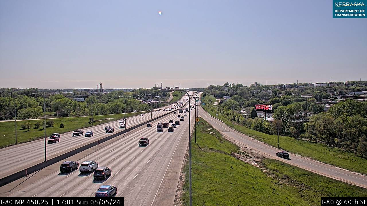
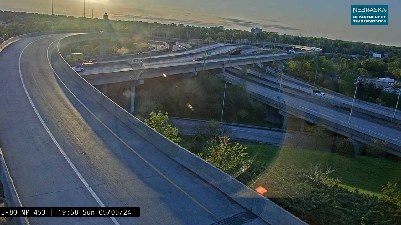
I-80 crosses Omaha from the southwest, meeting I-680 at exit 446 and I-480 and US 75 at exit 452, and leaves Nebraska on the Missouri River bridge to Council Bluffs, Iowa.
History along the road. Mormon pioneers set out from Winter Quarters, in present-day north Omaha, in 1846–47, and the Union Pacific broke ground in Omaha on December 2, 1863. The Lincoln Highway crossed the Missouri a block south of today’s I-480 bridge; I-80’s own Missouri River bridge was finished in 1972.
Live cameras. Images from Nebraska 511; click one to open it full size.
Leaving Nebraska
East of downtown Omaha, Interstate 80 crosses the Missouri River into Council Bluffs, Iowa, and continues east toward Des Moines and Chicago.
Nebraska Road Conditions & I-80 Travel Tips
Winter storms can close Interstate 80, especially across the Panhandle and into Wyoming. Check current conditions before you travel.
RV Travel & Camping Along Interstate 80
I-80 is Nebraska's main road for RV travelers, with services at most exits and state parks a short drive off the interstate.
- Lake McConaughy State Recreation Area — Nebraska's largest lake, about nine miles north of Ogallala (exit 126)
- Lake Maloney State Recreation Area — just south of North Platte on US 83 (exit 177)
- Windmill State Recreation Area — right at the Gibbon exit (exit 285)
- Eugene T. Mahoney State Park — cabins and camping at exit 426, between Lincoln and Omaha
Related Nebraska Travel Corridors
Interstate 80 crosses almost every major north–south road in Nebraska.
- Highway 71 — at Kimball
- US Highway 83 — at North Platte
- US Highway 30 — the old Lincoln Highway, beside I-80 from Kimball to Grand Island
- US Highway 183 — at Elm Creek
- US Highway 281 — at Grand Island
- US Highway 81 — at York
- US Highway 6 — beside I-80 from Milford to Omaha
- US Highway 75 — at Omaha
- ← Explore All Nebraska Travel Corridors