
US Highway 81: The Meridian Route
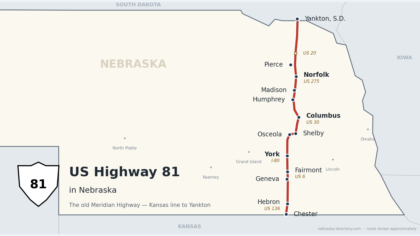
From Hebron to the Missouri River, US Highway 81 follows the old Meridian Highway through Nebraska's heartland—connecting courthouse towns, junction hubs, and small-town main streets.
Explore Highway 81 by County
Select a county to see its towns, places to visit and travel information.
US Highway 81 Corridor
A freight and heritage route through Nebraska’s heartland.From Hebron to the Missouri River at Yankton, US Highway 81 runs north–south through courthouse towns, grain elevators, and small-town main streets. This corridor blends agricultural heritage with small-town pride—ideal for travelers seeking depth, detours, and discovery.
Plan Your Journey
- Use the site directory to find places to eat, stay, and explore
- Visit each county module for town-by-town travel guides
Begin your journey in Hebron, just north of the Kansas line. Follow the old Meridian Highway north past Geneva and York, through Osceola and across the Platte River to Columbus, then on through Norfolk to the Missouri River at Yankton.
Before it was 81. Long before it had a number, this road was the Meridian Highway, a north–south auto route organized by good-roads boosters in 1911 and promoted as a road from Winnipeg to the Gulf of Mexico. In Nebraska it ran north from Hebron through York, Columbus and Norfolk to Yankton, mostly on section-line roads, and north of Norfolk it wandered through Hadar, Pierce, Wausa and Crofton. By 1925 Nebraska numbered it Highway 4. The toll bridge at Yankton, dedicated October 11, 1924, closed the last gap over the Missouri, and in 1926 the new federal system made the whole route U.S. 81. In 1939 the northern stretch moved to a straighter line that bypassed those small towns; a piece of the old road near Pierce, with its 1915 steel truss bridge, is listed on the National Register of Historic Places.
Thayer County on US Highway 81
Where the Meridian Highway enters Nebraska.
On the road: Chester · Hebron · Thayer County page
Highway 81 comes north out of Kansas past Chester and meets U.S. 136 just south of Hebron, the county seat.
History along the road. The Lincoln Land Company laid out Chester on July 29, 1880, on the Burlington & Missouri River Railroad’s Republican Valley branch, and named it for Chester A. Arthur. Hebron, the Thayer County seat, was founded by a colony of Disciples of Christ and named for the ancient city of Hebron. In Hebron’s Roadside Park, just off Highway 81, a marker placed in 1915 recalls the Oregon Trail, which crossed the county along with the Pony Express route. On May 9, 1953, a tornado killed five people downtown and damaged the courthouse tower so badly that it had to be removed.
Live cameras. Images from Nebraska 511; click one to open it full size.
Fillmore County on US Highway 81
Straight north past Geneva and Fairmont.
On the road: Geneva · Fairmont · Fillmore County page
Highway 81 runs straight north across Fillmore County, passing about a mile east of Geneva, the county seat, and just west of Fairmont, where it crosses U.S. 6.
History along the road. Geneva was founded in 1871, named for Geneva, Switzerland, and became the county seat; the marker at its courthouse notes the county’s first homestead filings in 1866 and its organization on April 21, 1871. Fairmont was platted in 1871 when the Burlington railroad arrived, its name keeping the railroad’s alphabetical run of stations west of Lincoln: Crete, Dorchester, Exeter, Fairmont, Grafton. During World War II, Fairmont Army Air Field, just south of town, trained B-24, B-17 and B-29 bomber groups. On July 15, 1934, Geneva reached 118 degrees, tying Nebraska’s record high.
York County on US Highway 81
The Interstate 80 crossroads.
On the road: McCool Junction · York · York County page
North of McCool Junction, Highway 81 reaches York, where it meets Interstate 80 and U.S. 34.
History along the road. McCool Junction was platted in 1886 when the railroad arrived and was named for railroad official Daniel McCool; by 1888 two rail lines met there. D. N. Smith surveyed York’s townsite in June 1869, and the plat was registered on October 18 of that year. York became the county seat with little opposition, the Burlington & Missouri River Railroad ran its first train there in 1877, and York College opened in 1890.
Live cameras. Images from Nebraska 511; click one to open it full size.
Polk County on US Highway 81
Osceola, Shelby and the Swede Capital.
On the road: Osceola · Shelby · Stromsburg (just off the route) · Polk County page
In Polk County, Highway 81 shares the road with Highway 92 through Osceola, the county seat, and Shelby. Stromsburg sits just off the route.
History along the road. Osceola’s first settlers, including the families of Rev. James Query and Vinson Perry Davis, arrived in October 1868; Davis borrowed the name from Osceola, Iowa, which honored the Seminole leader. Osceola became the county seat, and the Omaha and Republican Valley Railroad reached it in 1879. Shelby grew out of two earlier post offices, Cyclone and Arcade, which moved to the present site in the winter of 1880. Nearby Stromsburg, platted in 1872 by a townsite company from Galva, Illinois, calls itself the Swede Capital of Nebraska.
Butler County along US Highway 81
A county line, not a crossing.
North of Shelby, Highway 81 follows the line between Polk and Butler counties for a stretch without entering Butler County. Butler County’s seat, David City, lies to the east.
Platte County on US Highway 81
Where the Meridian met the Lincoln Highway.
On the road: Columbus · Humphrey · Platte County page
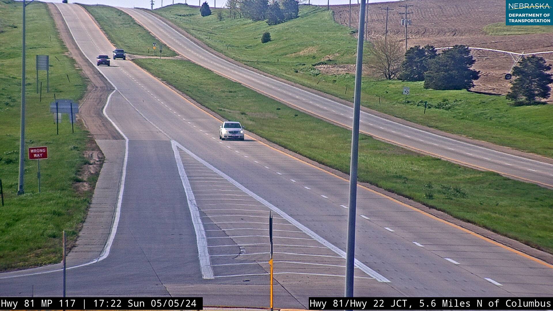
Highway 81 crosses the Platte River into Columbus, where it meets U.S. 30, then runs north to Humphrey.
History along the road. The Columbus Town Company settled the site on May 28, 1856, near where the Loup meets the Platte, and named it for Columbus, Ohio, where most of its members had lived. The Pawnee, Otoe, Ponca and Omaha had all used the area. Union Pacific rails reached Columbus in June 1866, when about 75 people lived there, and today U.S. 30, the old Lincoln Highway, crosses U.S. 81, the old Meridian Highway, in the city. Farther north, Humphrey was platted in 1880 on the Omaha, Niobrara and Black Hills Railroad and named for Humphrey, New York.
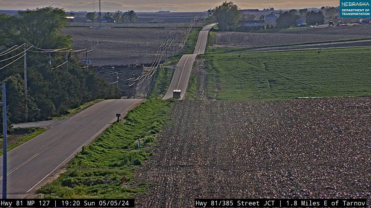
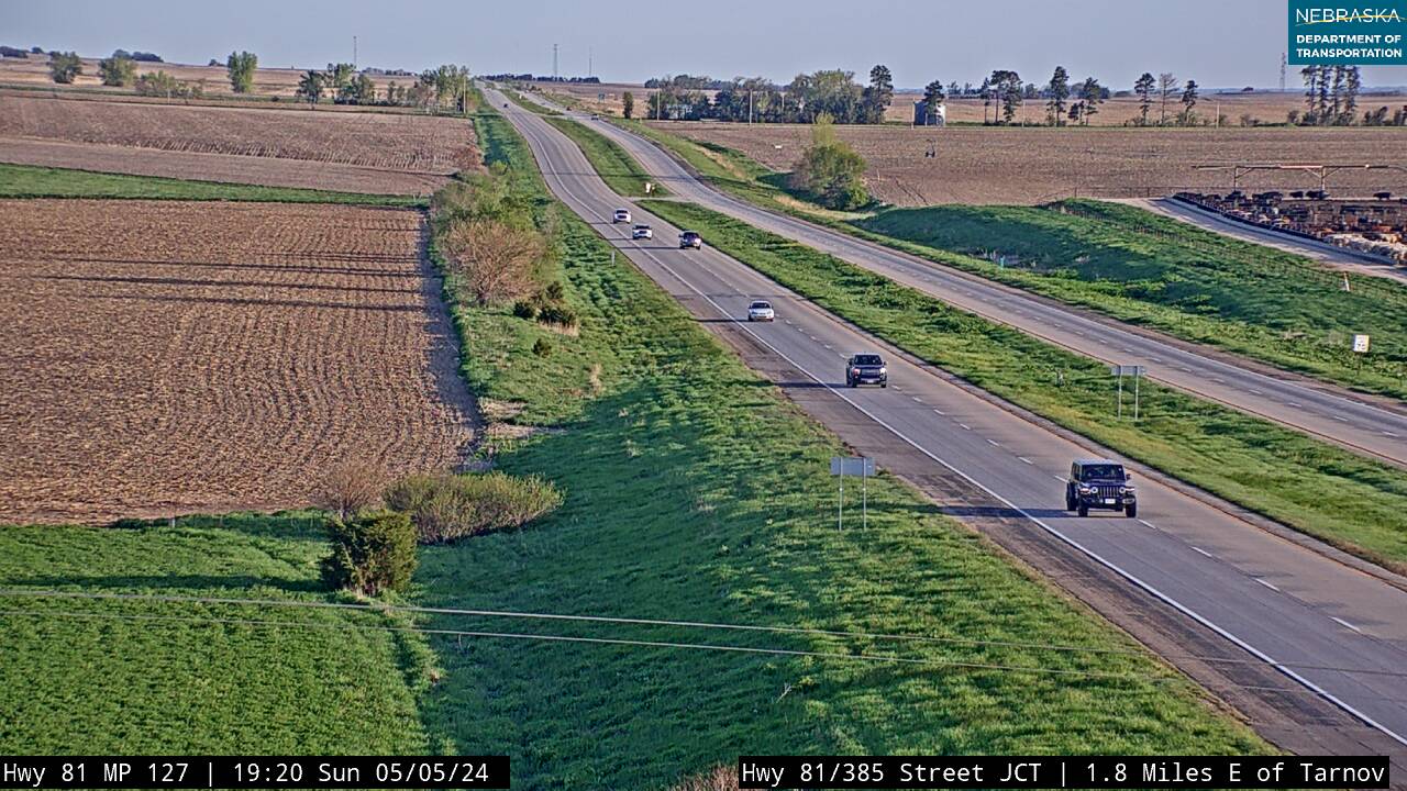
Live cameras. Images from Nebraska 511; click one to open it full size.
Madison County on US Highway 81
Madison and Norfolk.
On the road: Madison · Norfolk · Madison County page
Highway 81 passes just east of Madison, the county seat, and runs on into Norfolk, where it meets U.S. 275.
History along the road. Madison was founded in 1867, took its name from the county, and became the county seat in 1875. Norfolk began on July 15, 1866, when German Lutheran families from around Ixonia and Watertown, Wisconsin, arrived by wagon train. They asked for a post office named North Fork, after the river, and postal officials made it Norfolk. Railroads arrived beginning in 1879, and the state asylum took its first patients in 1888. The Meridian Highway ran through Norfolk and became U.S. 81 in 1926.
Live cameras. Images from Nebraska 511; click one to open it full size.


Pierce County on US Highway 81
The old Meridian road and the new.
On the road: Hadar (near) · Pierce (near) · Pierce County page
North of Norfolk, Highway 81 crosses Pierce County on a straight line east of Hadar and Pierce, the county seat, and meets U.S. 20 southeast of McLean.
History along the road. Here the Meridian Highway first followed a different line. Laid out in the fall of 1911, it followed section-line roads from Norfolk through Hadar and Pierce, then on to Wausa and Crofton. In 1939 the route was moved, and in time it bypassed every small town between Norfolk and Yankton. A preserved stretch of the original road, with a 1915 steel truss bridge and 1920s concrete culverts, is listed on the National Register of Historic Places; a state historical marker stands there, four miles southeast of Pierce.
Live cameras. Images from Nebraska 511; click one to open it full size.
Cedar County on US Highway 81
The last miles to the Missouri.
On the road: junctions for Hartington and Crofton · Cedar County page
Highway 81’s last Nebraska miles cross Cedar County past the junctions for Hartington and Crofton to the Missouri River, where the Discovery Bridge carries it into Yankton, South Dakota.
History along the road. Cedar County, formed in 1857 and named for its cedar groves, carried the Meridian Highway to the river. The Meridian Highway Bridge to Yankton was dedicated on October 11, 1924, and opened as a toll bridge; the tolls ended in 1953. The Discovery Bridge replaced it on October 11, 2008, exactly 84 years later. A National Park Service marker at the Corps of Discovery Welcome Center on Highway 81 tells the road’s story.
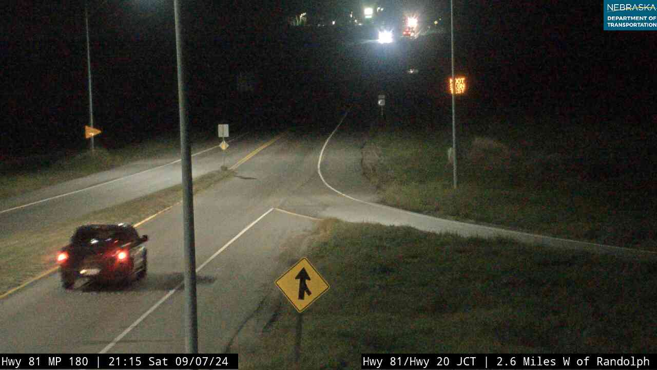
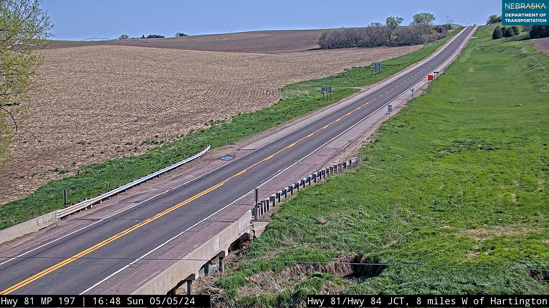
Live cameras. Images from Nebraska 511; click one to open it full size.
Nebraska Road Conditions & US-81 Travel Tips
US Highway 81 crosses open farm country where blowing snow and ice can slow or close the road in winter. Check current conditions before you travel.
RV Travel & Camping Along US Highway 81
US 81 is an easy north–south route for RV travelers, with services in York, Columbus and Norfolk and lake camping a short detour off the road near its northern end.
- Willow Creek State Recreation Area — lake camping just southwest of Pierce, a short drive west of US-81
- Lewis and Clark State Recreation Area — on Lewis and Clark Lake near Crofton, west of US-81
- Nebraska State Park Campgrounds (Outdoor Nebraska)
- Nebraska Business Directory — fuel, food and lodging along the route
Related Nebraska Travel Corridors
US Highway 81 crosses more of Nebraska’s main roads than almost any other north–south route:
- Highway 136 — at Hebron
- Highway 6 — at Fairmont
- Interstate 80 and Highway 34 — at York
- Highway 92 — Osceola to Shelby
- Highway 30 — the old Lincoln Highway, at Columbus
- Highway 275 — at Norfolk
- Highway 20 — near Randolph
- ← Explore All Nebraska Travel Corridors