
US Highway 83
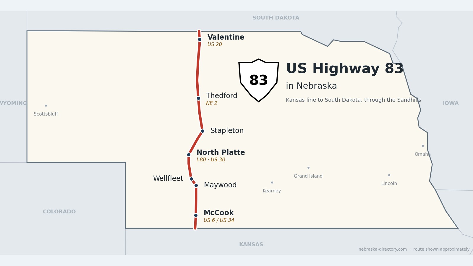
US Highway 83: McCook to Valentine
US Highway 83 crosses western Nebraska from the Kansas line south of McCook to the South Dakota line north of Valentine—about 220 miles through the Republican River country, the Platte valley at North Platte, and the heart of the Sandhills. Travel writers call it "the road to nowhere," and on the long stretch north of North Platte it passes more cattle than people.
Before it was 83.
US 83 was created in 1926 as a short route in the Dakotas and was stretched to the Canadian and Mexican borders by the early 1930s. In Nebraska the national planners first sent it along the line that is now US 183, because the North Platte–Valentine road was not yet a state highway and some of it had not been built at all. Nebraska refused to sign that route. In the early 1940s US 83 and US 183 traded places across the state, and US 83 took over the McCook–North Platte road, which until then had carried US 183. The last North Platte–Valentine segment was expected to be finished in 1952.
Railroads came first here too: the Burlington reached McCook in 1882, the Union Pacific had been at North Platte since 1866, the Burlington line reached Thedford in 1887, and the Sioux City & Pacific brought trains to Valentine on April 1, 1883.
Begin your journey at the Kansas line in Red Willow County. The road runs north through McCook, past Maywood and Wellfleet to North Platte and Interstate 80, then climbs into the Sandhills past Stapleton and Thedford to Valentine on the Niobrara.
Red Willow County on US Highway 83
McCook and the Republican valley.
On the road: McCook (US 6 and US 34) · Red Willow County page
US 83 enters Nebraska about 15 miles south of McCook, the county seat, and joins US 6 and US 34 for about a mile and a half through town. Red Willow State Recreation Area, on Hugh Butler Lake, is north of McCook just off US 83.
History along the road. McCook was platted in 1882 when the Burlington & Missouri River Railroad arrived and was named for Union Gen. Alexander McD. McCook. Its main street is Norris Avenue, for Senator George W. Norris, whose home at 706 Norris Avenue is open for tours. The Harvey P. Sutton House, built 1905–07, is Nebraska’s only known Frank Lloyd Wright Prairie house (privately owned), and McCook Army Airfield operated here from 1943 to 1945.
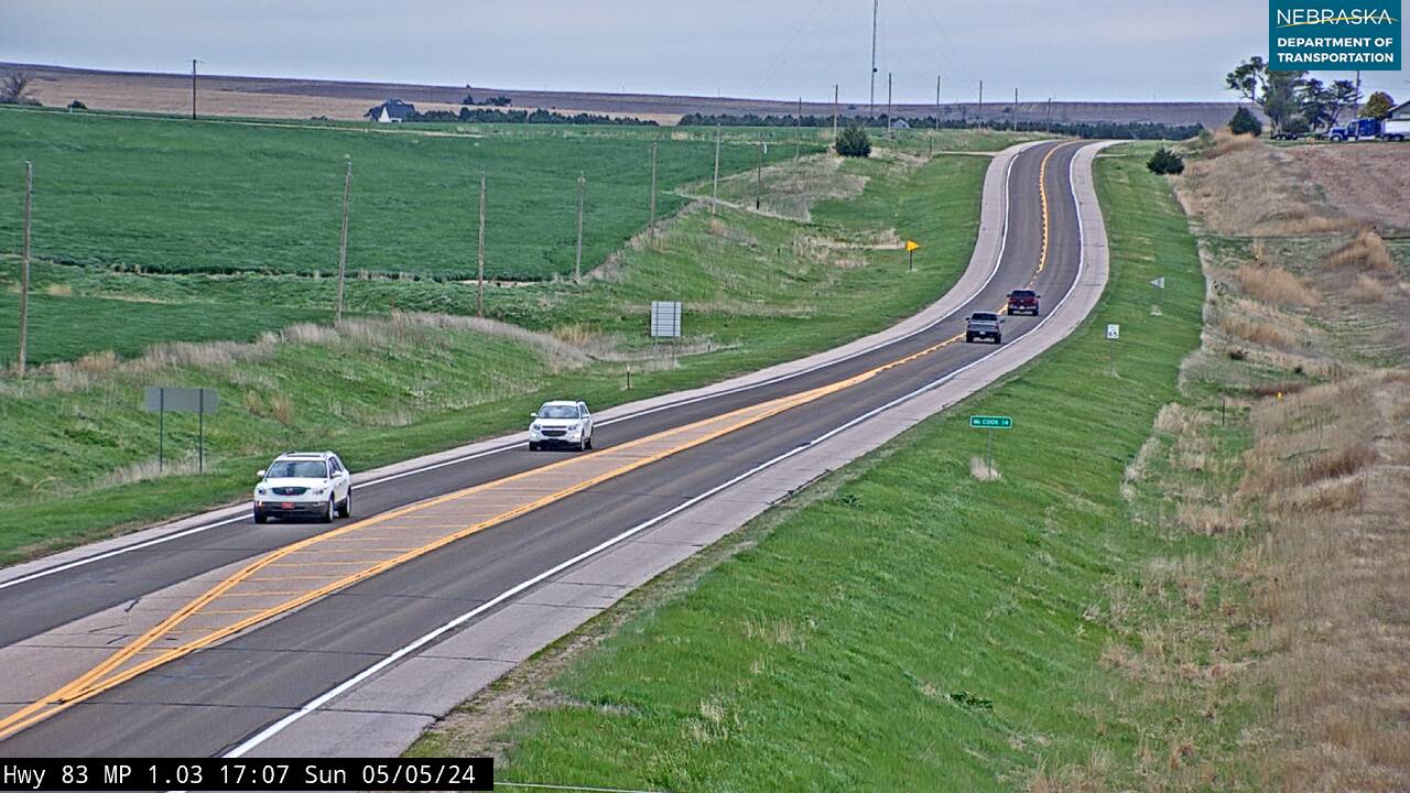
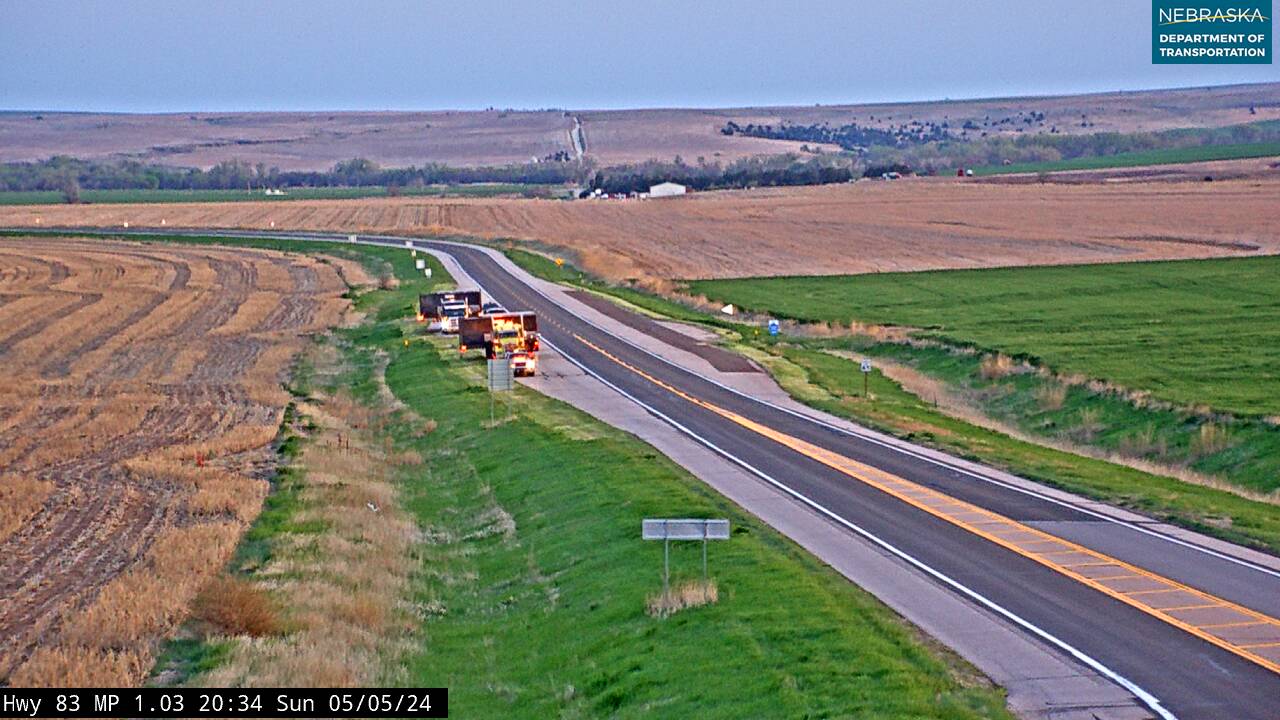
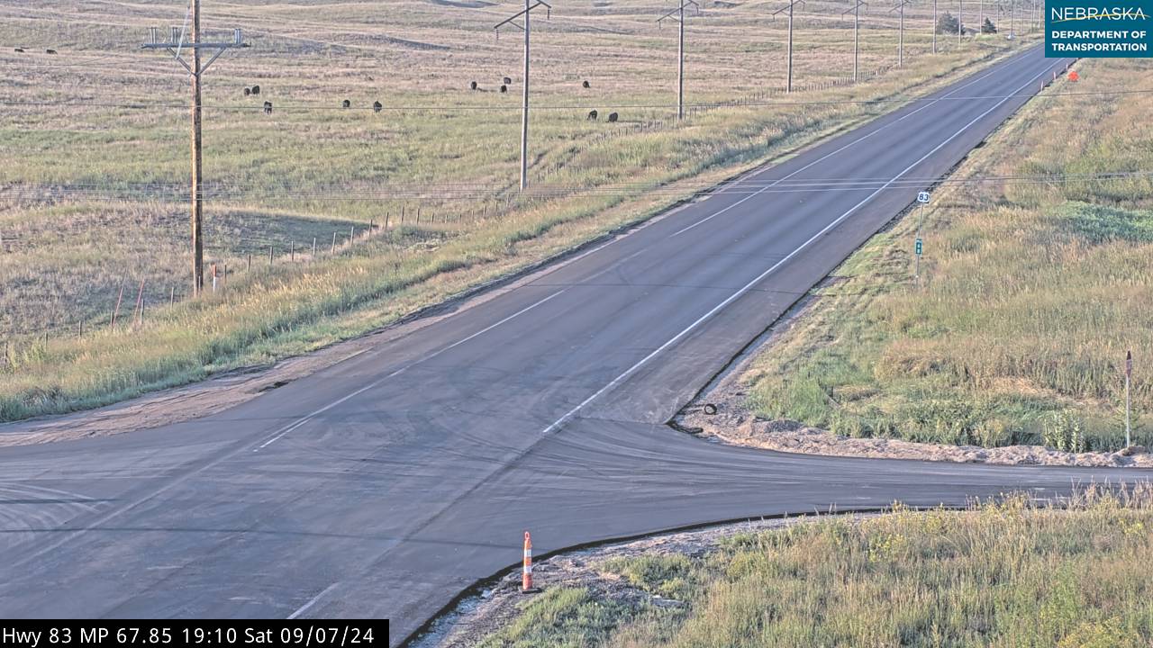
Live cameras. Images from Nebraska 511; click one to open it full size.
Frontier County on US Highway 83
Maywood and Highway 23.
On the road: Maywood · Frontier County page
North of McCook, US 83 crosses the eastern side of Frontier County past Maywood, where Nebraska Highway 23 joins it for about 14 miles toward Wellfleet.
History along the road. Frontier County was formed in 1872 and named for its place on the frontier; Stockville, off the highway to the east, is the county seat. Maywood was founded in the 1880s.
Lincoln County on US Highway 83
North Platte and the crossroads.
On the road: Wellfleet · North Platte (I-80 exit 177, US 30) · Lincoln County page
Past Wellfleet the road drops into the Platte valley at North Platte, the county seat, crossing Interstate 80 at exit 177 and US 30 on Jeffers Street. Lake Maloney is about six miles south of town, and north of town Nebraska Highway 97 branches northwest toward Tryon and Mullen.
History along the road. Wellfleet was platted about 1887 and named for Wellfleet, Massachusetts. Buffalo Bill Cody’s Scout’s Rest Ranch in North Platte is a National Historic Landmark, and the North Platte Canteen, started in 1941, served nearly seven million servicemen passing through on the Union Pacific during World War II. The railroad’s Bailey Yard here is the largest rail yard in the world.
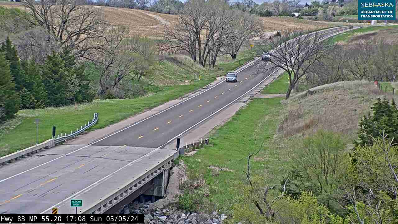
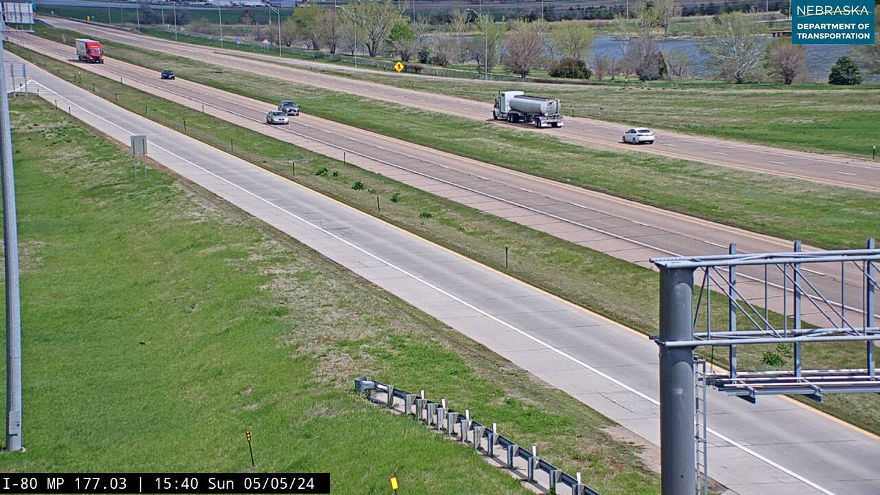
Live cameras. Images from Nebraska 511; click one to open it full size.
Logan County on US Highway 83
Into the Sandhills.
On the road: Stapleton · Logan County page
North of the Platte, US 83 heads into the Sandhills. Near Stapleton, the county seat, Nebraska Highway 92 shares the road for about four miles.
History along the road. Logan County was created in 1885 and named for Gen. John A. Logan. The county seat moved from Gandy to Stapleton by special election in 1929, after the Union Pacific chose Stapleton for its line.
Thomas County on US Highway 83
Thedford, the Dismal River and the forest.
On the road: Thedford (Nebraska 2) · Halsey, east on Nebraska 2 · Thomas County page
South of Thedford the highway crosses the Dismal River. At Thedford, the county seat, Nebraska Highway 2 shares the road for about a mile and a half.
History along the road. Thedford grew up on the Burlington line, which arrived in 1887. A historical marker at US 83 and Nebraska 2 in Thedford describes the Sandhills as one of the world’s greatest cattle-producing areas—some 13 million acres. East of town near Halsey, the Nebraska National Forest, begun in 1902 through the efforts of botanist Charles Bessey, is one of the largest hand-planted forests anywhere.
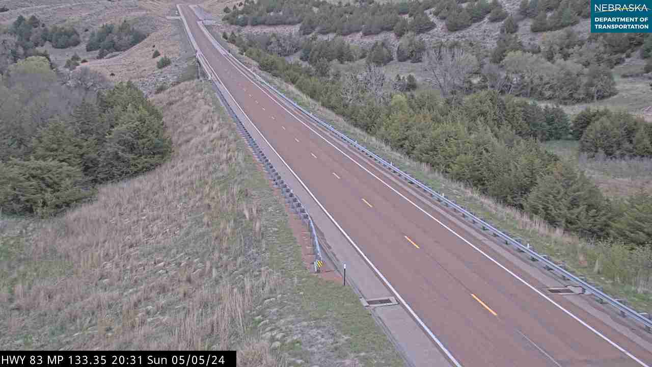
Live cameras. Images from Nebraska 511; click one to open it full size.
Cherry County on US Highway 83
Valentine and the Niobrara.
On the road: Valentine (US 20, Nebraska 12) · Cherry County page
The longest open stretch of the route runs north across Cherry County, the largest county in Nebraska. Valentine National Wildlife Refuge lies about 20 miles south of Valentine off US 83. At Valentine the highway meets US 20 and Nebraska 12, then continues north to South Dakota.
History along the road. Fort Niobrara was established in 1880 a few miles east of Valentine and abandoned in 1906; Fort Niobrara National Wildlife Refuge was set aside in 1912. Valentine, founded in 1882, was named for Congressman Edward K. Valentine. The Niobrara was named a National Scenic River in 1991, and Smith Falls, Nebraska’s highest waterfall, became a state park in 1992.
Live cameras. Images from Nebraska 511; click one to open it full size.
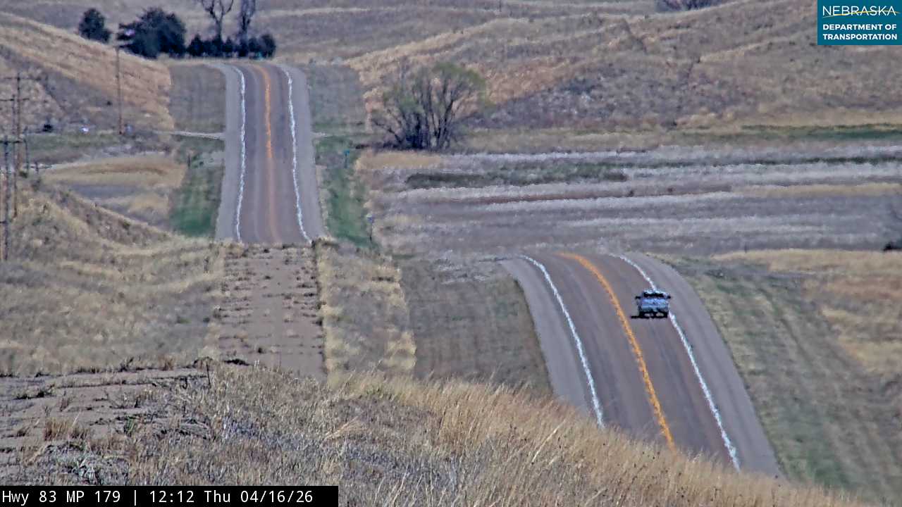

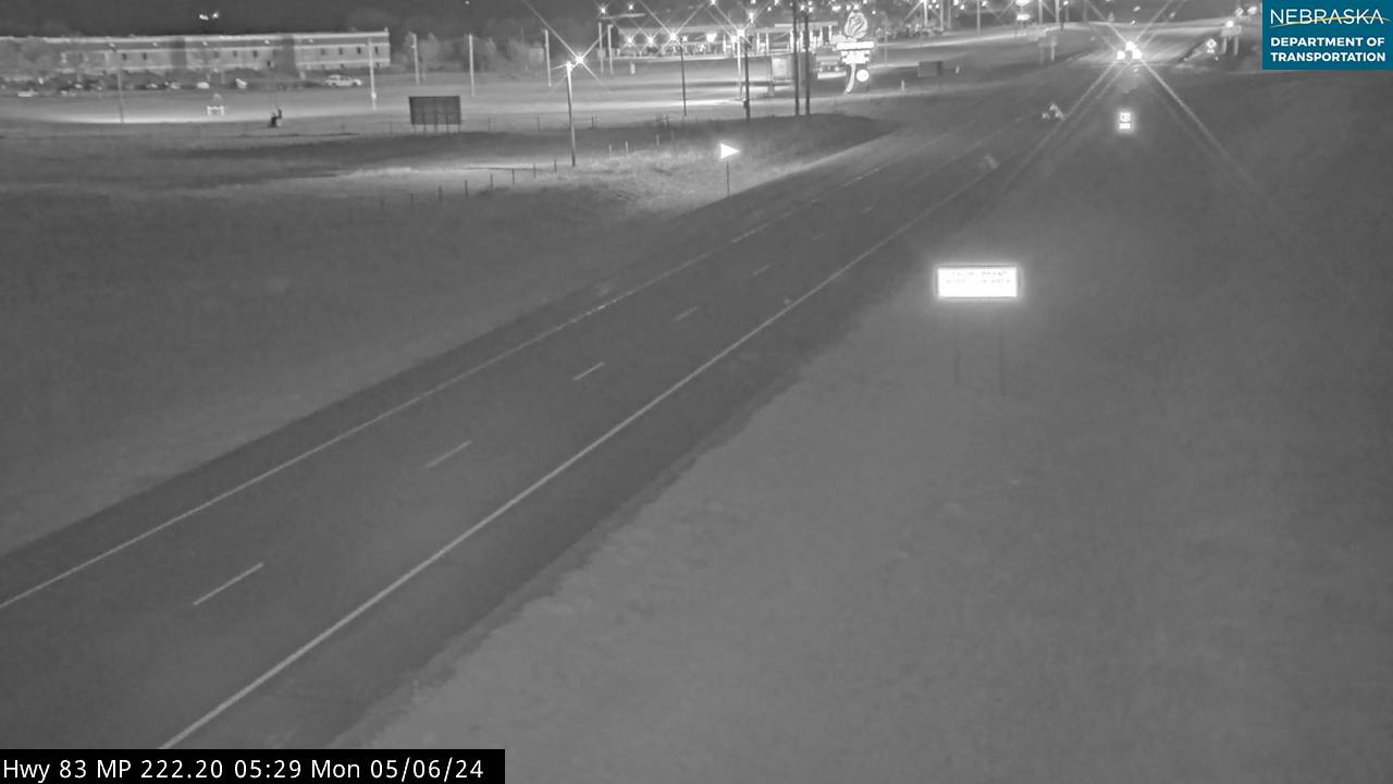
Nebraska Road Conditions & US-83 Travel Tips
Towns and services are far apart in the Sandhills between North Platte and Valentine, and winter wind can drift snow across the road. Fill up before you go and check conditions first.
RV Travel & Camping Along US Highway 83
- Red Willow State Recreation Area — Hugh Butler Lake, north of McCook
- Lake Maloney State Recreation Area — about six miles south of North Platte
- Nebraska National Forest, Bessey Recreation Area — near Halsey, east of Thedford on Nebraska 2
- Smith Falls State Park — on the Niobrara east of Valentine
Related Nebraska Travel Corridors
- US Highway 6 — at McCook
- US Highway 183 — the route that carried the US 83 number before the 1940s swap
- Interstate 80 and US Highway 30 — at North Platte
- Highway 92 — near Stapleton
- Highway 2 — at Thedford
- US Highway 20 and Highway 12 — at Valentine
- ← Explore All Nebraska Travel Corridors