
Nebraska Highway 2: The Sandhills Journey
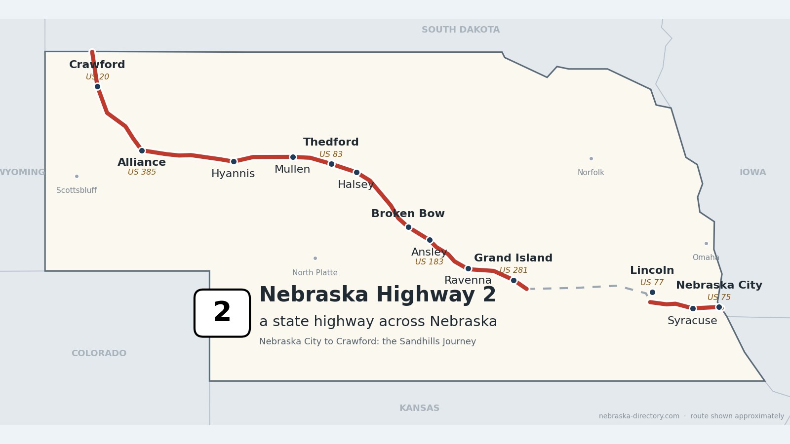
Nebraska Highway 2 runs about 423 miles in two pieces. The short eastern piece runs from the Missouri River at Nebraska City to the south edge of Lincoln. The long western piece starts at Interstate 80 near Grand Island and crosses the heart of the Sandhills—through Broken Bow, Halsey, Thedford, Mullen and Hyannis—to Alliance and on to Crawford and the South Dakota line. The 272 miles from Grand Island to Alliance are the Sandhills Journey Scenic Byway, named a National Scenic Byway on February 16, 2021.
Before it was 2.
The railroad came first. The Grand Island & Wyoming Central, leased by the Burlington & Missouri River Railroad in May 1886, built northwest from Grand Island that year and reached Grand Lake—now Alliance—in 1888. Nearly every town on this road began as one of its stations between 1886 and 1888, and long coal trains from Wyoming’s Powder River Basin still roll through Alliance today.
The road followed the tracks. On a 1924 Nebraska road map it was the Potash Highway, running east from Alliance through Antioch, Hyannis, Mullen, Thedford and Broken Bow; it was named for the potash boom at Antioch during World War I. Built alongside the railroad from 1918 to 1923, it became Highway 2 in the mid-1920s. The two pieces were once joined by running with US 34 between Grand Island and Lincoln; today Interstate 80 fills the gap.
Begin your journey at Grand Island and head northwest—through the railroad towns of the Loup valleys, past the hand-planted Nebraska National Forest at Halsey and the Dismal and Middle Loup rivers, across the grass-covered dunes to the potash ruins at Antioch and Carhenge at Alliance, and up into the Pine Ridge at Crawford.
Counties along Highway 2, east to northwest: Otoe · Lancaster · Hall · Buffalo · Sherman · Custer · Blaine · Thomas · Hooker · Grant · Sheridan · Box Butte · Dawes
Otoe County on Highway 2
Nebraska City, Syracuse and Palmyra.
On the road: Nebraska City (US 75) · Syracuse (NE 50) · Palmyra · Otoe County page
Highway 2 enters Nebraska on the Missouri River bridge at Nebraska City and runs with US 75 on the J. Sterling Morton Beltway; Business 2, called 4th Corso, goes through town. Heading west, it bypasses Syracuse with an interchange at Nebraska 50 and passes Palmyra.
History along the road. Nebraska City, incorporated in 1855, is called the oldest incorporated city in the state. Old Fort Kearny was built here in 1846, and J. Sterling Morton started Arbor Day here in 1872; his home is now Arbor Lodge State Historical Park. Syracuse was laid out in 1869 and named for Syracuse, New York; Palmyra was platted in 1870.
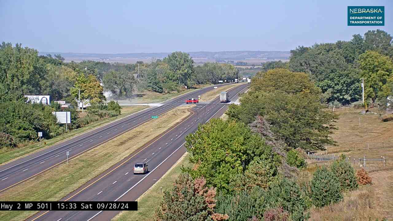
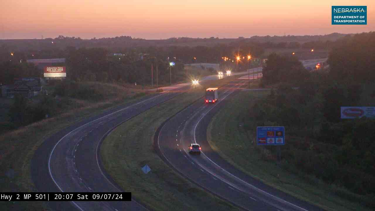
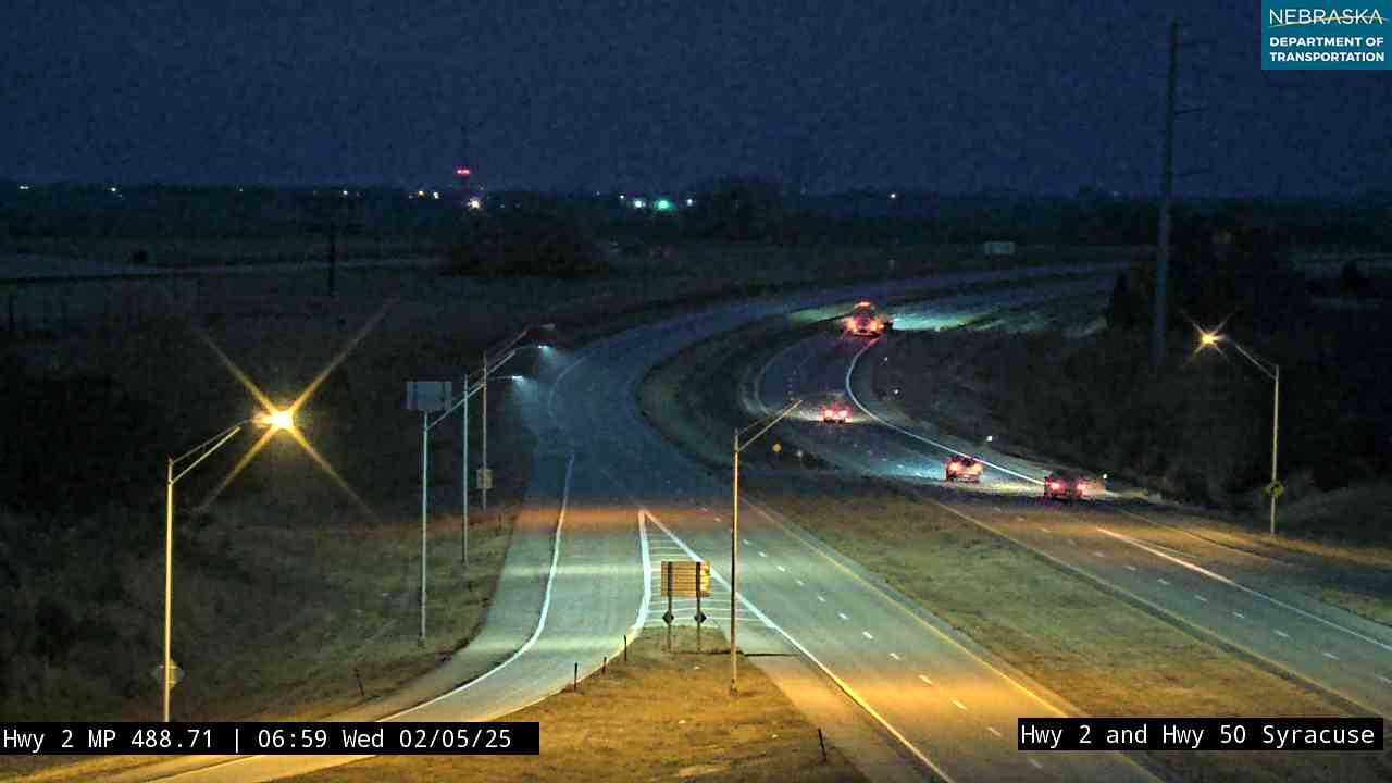
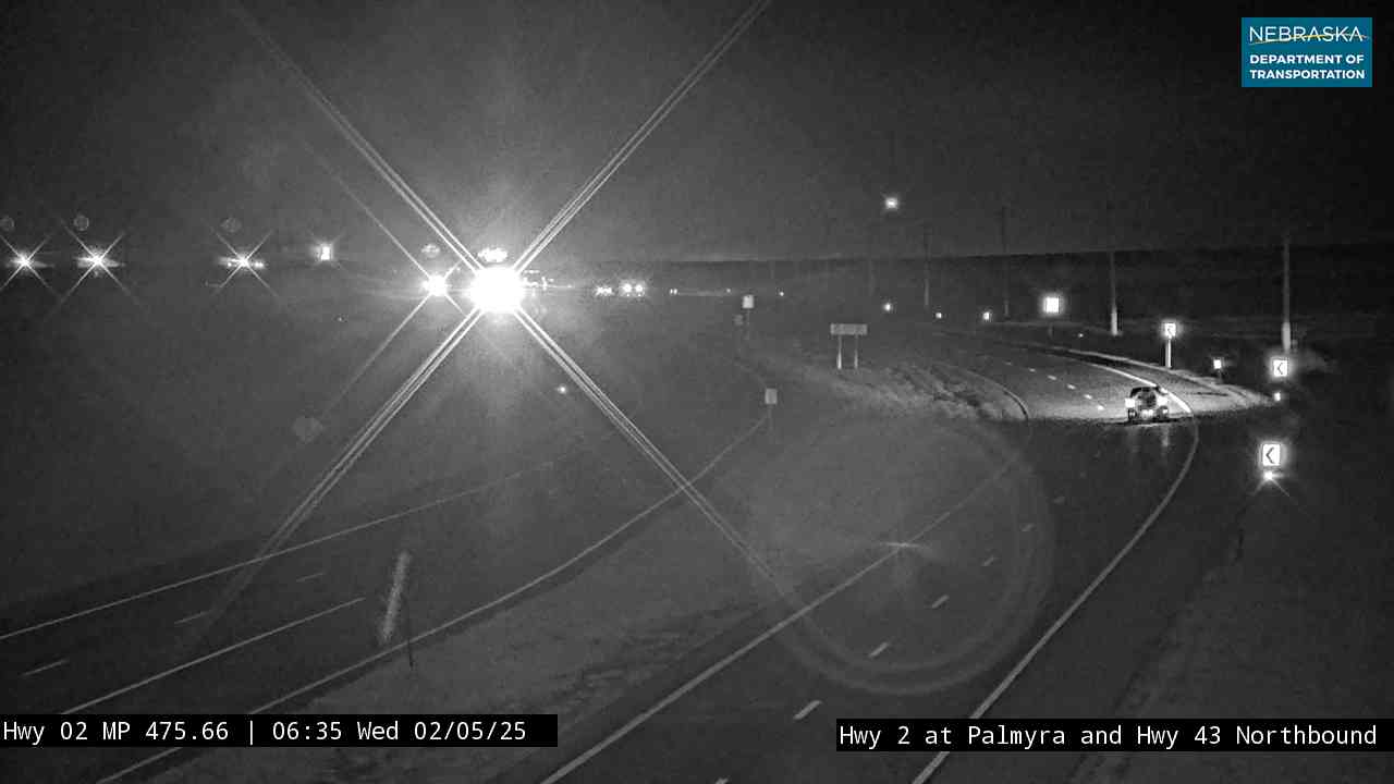
Live cameras. Images from Nebraska 511; click one to open it full size.
Lancaster County on Highway 2
Bennet and the Lincoln South Beltway.
On the road: Bennet (just south) · Lincoln (US 77) · Lancaster County page
Highway 2 runs with Nebraska 43 near Bennet, then follows the Lincoln South Beltway, which opened on December 14, 2022, to US 77 on the south side of Lincoln, where the eastern piece ends.
History along the road. Lincoln was chosen as the site of the state capital in 1867, when the village of Lancaster was renamed for Abraham Lincoln. The present State Capitol was finished in 1932.
Live cameras. Images from Nebraska 511; click one to open it full size.

Lincoln to Grand Island
There is no Highway 2 between Lincoln and Grand Island. Take Interstate 80 west about 90 miles; Highway 2 begins again at exit 318, southeast of Grand Island.
Hall County on Highway 2
Grand Island, where the Sandhills Journey begins.
On the road: Grand Island (US 30, US 281) · Cairo (NE 11) · Hall County page
From I-80 exit 318 in Hamilton County, Highway 2 runs with US 34 across the Platte River into Grand Island, crosses US 30 and US 281, and heads northwest beside the railroad to Cairo, where it meets Nebraska 11. The Sandhills Journey Scenic Byway starts here.
History along the road. Grand Island was settled in 1857 by 35 German settlers from Davenport, Iowa. Cairo was founded in 1886 on the new Grand Island & Wyoming Central line and named for Cairo, Egypt.
Buffalo County on Highway 2
Ravenna.
On the road: Ravenna (just north) · Buffalo County page
The road clips the northeast corner of Buffalo County, passing just south of Ravenna at Nebraska 68.
History along the road. Ravenna was founded in 1886 when the Burlington arrived. It was named for Ravenna, Italy, and many of its streets carry Italian names.
Sherman County on Highway 2
Hazard and Litchfield.
On the road: Hazard (NE 10) · Litchfield · Sherman County page
Highway 2 crosses Nebraska 10 at Hazard and continues northwest through Litchfield.
History along the road. Both towns date from 1886, when the railroad came through: Hazard was founded that year, and Litchfield was platted then too, probably named for Litchfield, Connecticut.
Custer County on Highway 2
Broken Bow and the Custer County towns.
On the road: Mason City · Ansley (US 183) · Broken Bow · Merna · Anselmo (spur) · Custer County page
The road passes Mason City and Ansley, where it shares half a mile with US 183, then runs with Nebraska 92 through Broken Bow, the county seat, to Merna. A short spur leads to Anselmo and Victoria Springs State Recreation Area.
History along the road. Broken Bow was founded in 1882 by Jesse Gandy and chosen as county seat that year; its town square is on the National Register of Historic Places. Mason City, platted in 1886, is named for Judge Oliver Perry Mason, and Anselmo, platted the same year, for railroad official Anselmo B. Smith. Victoria Springs, opened as a state park in 1925, keeps two log cabins from 1874, one of them Custer County’s first post office.
Live cameras. Images from Nebraska 511; click one to open it full size.

Blaine County on Highway 2
Dunning and the Dismal River.
On the road: Dunning (NE 91) · Blaine County page
Highway 2 meets Nebraska 91 at Dunning, deep in the Middle Loup valley.
History along the road. Dunning began as a Burlington station. The Dismal River, about 72 miles long, joins the Middle Loup just east of town.
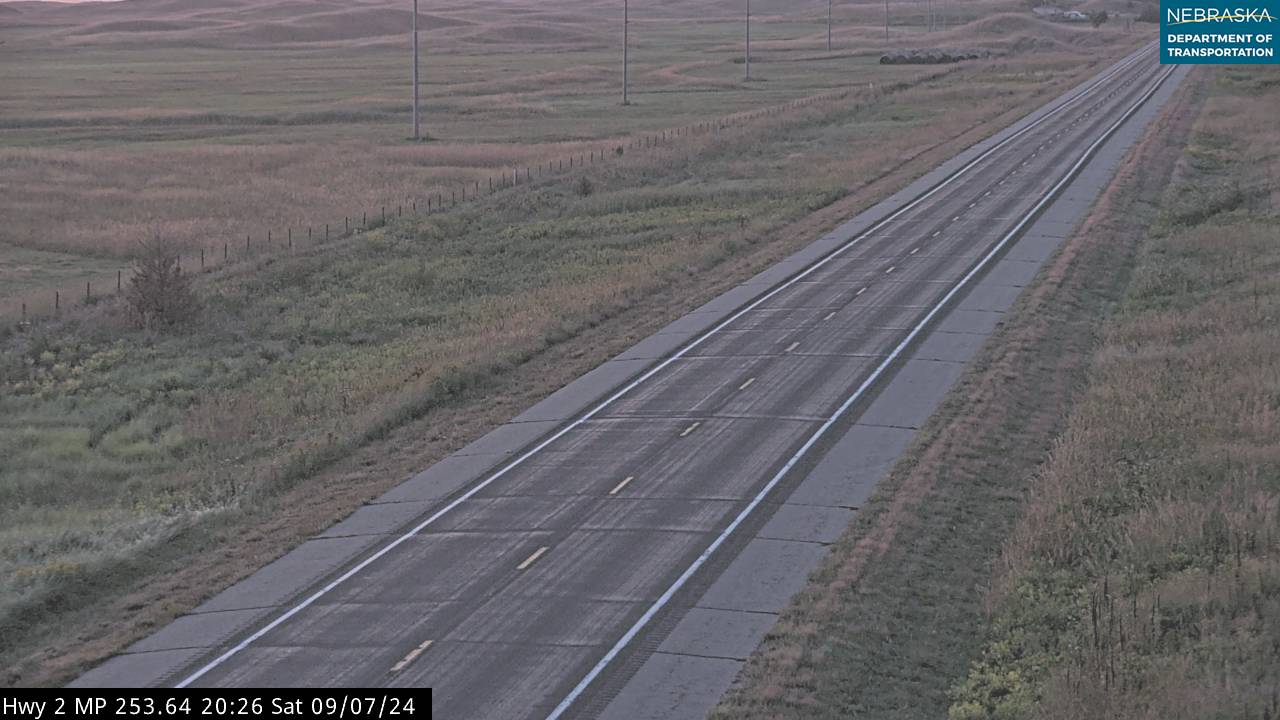
Live cameras. Images from Nebraska 511; click one to open it full size.
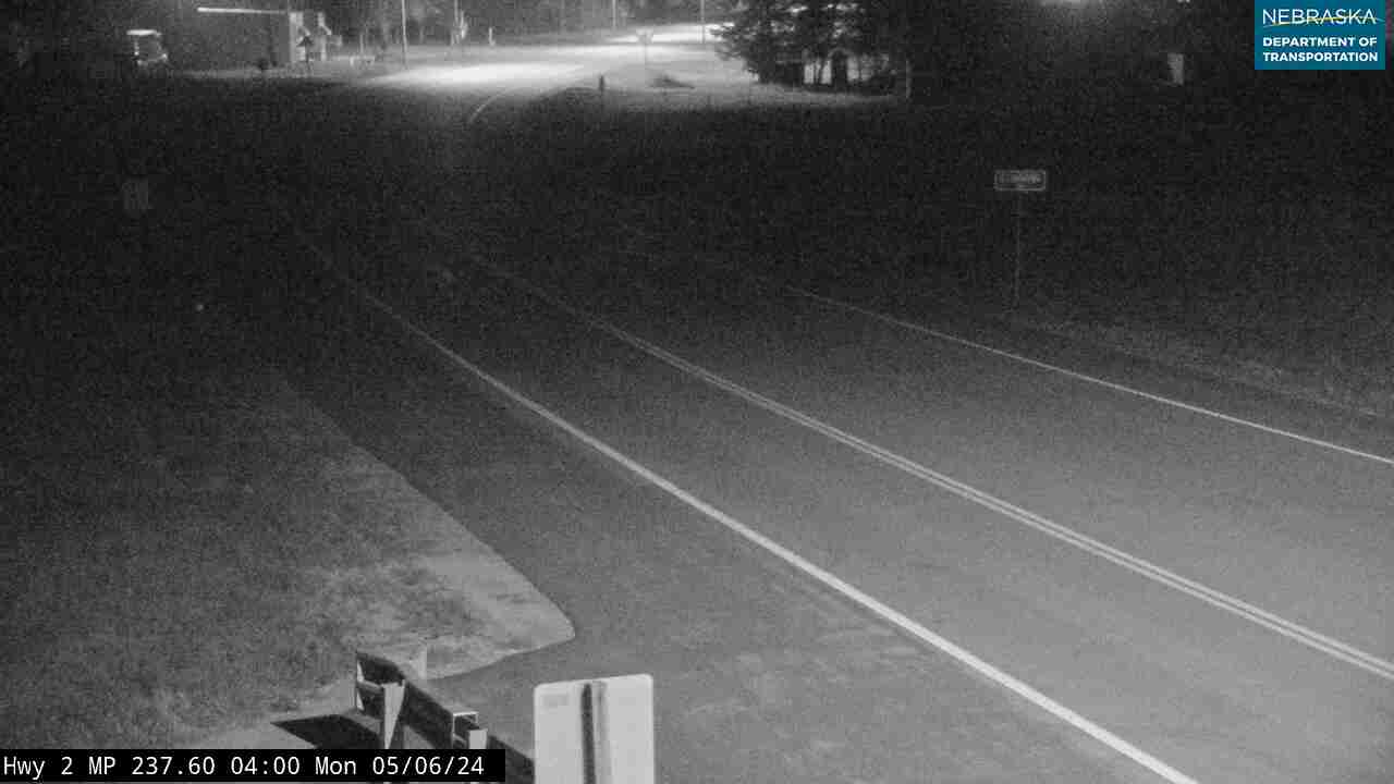
Thomas County on Highway 2
Halsey, Thedford and the hand-planted forest.
On the road: Halsey · Thedford (US 83) · Seneca (spur) · Thomas County page
The road passes the Nebraska National Forest at Halsey, shares about a mile and a half with US 83 at Thedford, the county seat, and passes south of Seneca.
History along the road. The Nebraska National Forest began in 1902, when University of Nebraska botanist Charles Bessey and Gifford Pinchot persuaded Theodore Roosevelt to plant a forest in the Sandhills. About 20,000 acres were planted by hand, and the Bessey Nursery is the oldest nursery the USDA runs. The Bovee Fire of October 2022 burned about a quarter of the planted forest and destroyed the State 4-H Camp. Halsey got its railroad in 1887 and was rebuilt mostly in Thomas County after its depot burned in 1904. Thedford was founded in 1887. Seneca, a railroad division point from 1888, was bypassed by the highway in the early 1940s and voted to dissolve as a village in 2014.
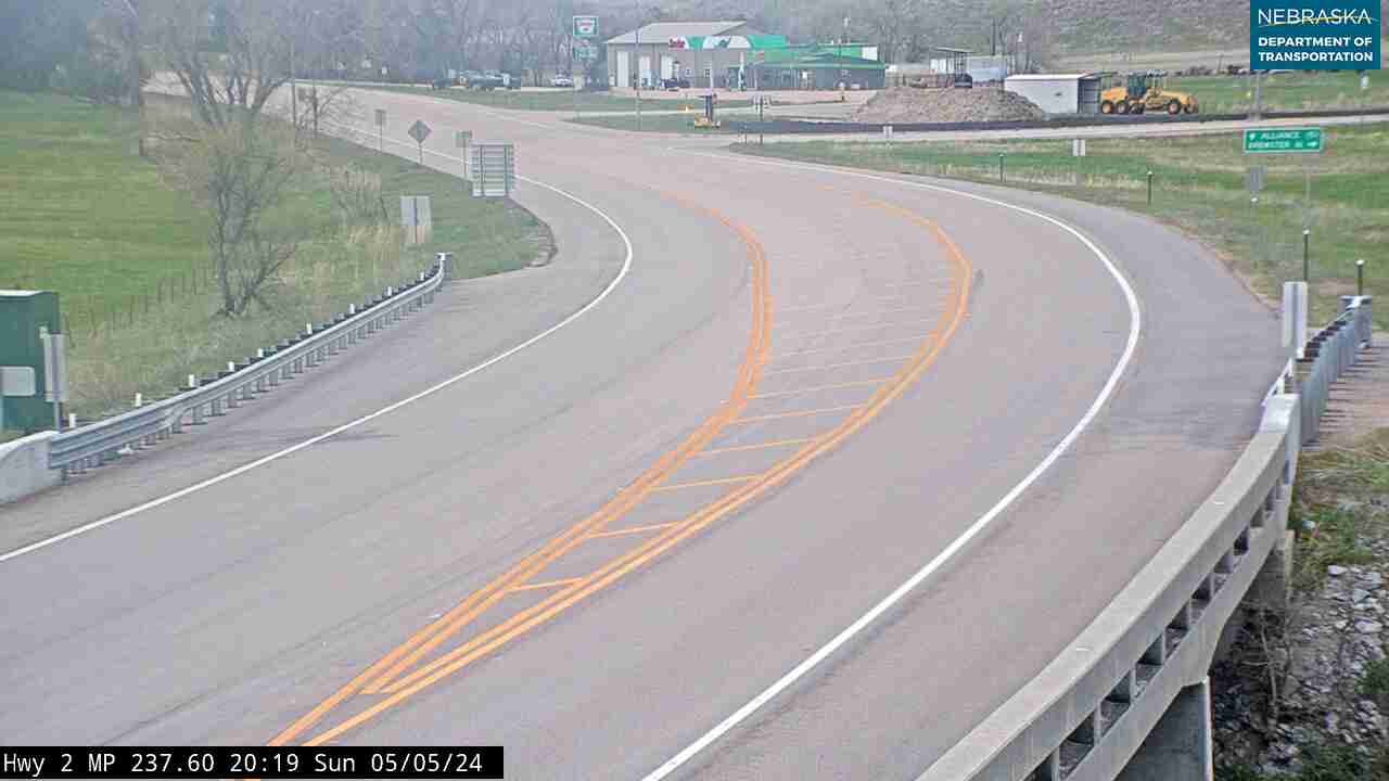
Live cameras. Images from Nebraska 511; click one to open it full size.
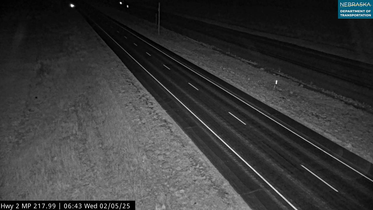
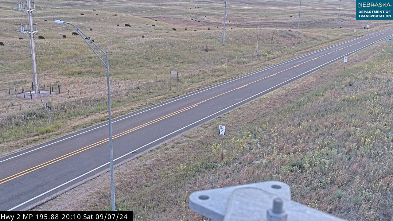
Hooker County on Highway 2
Mullen and the Middle Loup.
On the road: Mullen · Hooker County page
Highway 2 runs through Mullen, the only town in Hooker County, where Nebraska 97 heads north and south.
History along the road. Hooker County was created on March 29, 1889. The Middle Loup River runs just north of Mullen, and outfitters rent canoes, kayaks and stock tanks for floating it. Mullen is also a golf destination, with the Dismal River Golf Club and the Sand Hills Golf Club nearby.
Grant County on Highway 2
Whitman, Hyannis and Ashby.
On the road: Whitman · Hyannis · Ashby · Grant County page
The road crosses the open ranch country of Grant County through Whitman, Hyannis—the county seat, where it shares a mile and a half with Nebraska 61—and Ashby.
History along the road. Grant County was created in 1887. Hyannis was laid out in 1888 and named, like Whitman and Ashby, for a town in Massachusetts.
Sheridan County on Highway 2
Ellsworth, Lakeside and the potash ruins at Antioch.
On the road: Ellsworth · Lakeside · Antioch · Sheridan County page
Highway 2 crosses the southern end of Sheridan County through Ellsworth, where Nebraska 27 heads north, Lakeside and Antioch.
History along the road. Ellsworth was a company town for the Spade Ranch; its Spade Ranch Store building dates from 1898. When World War I cut off German potash, Antioch boomed: production began in 1916, five plants were running by spring 1918, and the town grew to about 2,000 people before the last plant closed in 1921. The ruins are on the National Register, and a state historical marker stands on the north side of Highway 2.
Live cameras. Images from Nebraska 511; click one to open it full size.

Box Butte County on Highway 2
Alliance and Carhenge.
On the road: Alliance (US 385) · Berea · Hemingford · Box Butte County page
At Alliance, the county seat and the end of the scenic byway, Highway 2 runs with US 385 to Berea and then turns northwest through Hemingford. Carhenge is about three miles north of Alliance on Nebraska 87.
History along the road. Alliance began as Grand Lake in 1887, was renamed, and won the county seat from Hemingford in an 1898 vote; the next year the Burlington moved the courthouse about 20 miles by rail, a six-hour trip. Jim Reinders and his family built Carhenge from old cars in the summer of 1987. The Knight Museum and Sandhills Center tells the story of the Sandhills and the railroad.
Live cameras. Images from Nebraska 511; click one to open it full size.
Dawes County on Highway 2
Crawford and the Pine Ridge.
On the road: Marsland · Crawford (US 20) · Dawes County page
Highway 2 passes Marsland, crosses US 20 at Crawford, and runs north with Nebraska 71 to the South Dakota line, clipping a corner of Sioux County. Fort Robinson State Park is just west of Crawford on US 20.
History along the road. Crawford sits at the edge of the Pine Ridge, where the grasslands give way to buttes and pine-covered ridges.
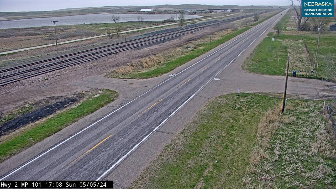
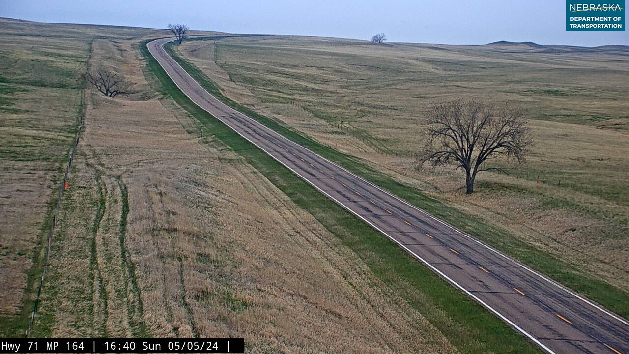
Live cameras. Images from Nebraska 511; click one to open it full size.
Nebraska Road Conditions & Highway 2 Travel Tips
Highway 2 is two lanes almost everywhere west of Grand Island, with long stretches between towns. Fill up in Broken Bow, Thedford, Mullen or Alliance, watch for cattle and coal trains, and check current conditions before you travel, especially in winter.
RV Travel & Camping Along Highway 2
- Victoria Springs State Recreation Area — near Anselmo
- Nebraska National Forest, Bessey Ranger District — at Halsey
- Fort Robinson State Park — west of Crawford
Related Nebraska Travel Corridors
- US Highway 75 — at Nebraska City
- Highway 50 — at Syracuse
- Interstate 80 — Lincoln to Grand Island
- US Highway 30 and US Highway 281 — at Grand Island
- Highway 11 — at Cairo
- US Highway 183 and Highway 92 — at Ansley and Broken Bow
- Highway 91 — at Dunning
- US Highway 83 — at Thedford
- US Highway 20 and Highway 71 — at Crawford
- ← Explore All Nebraska Travel Corridors