
Nebraska Highway 50: Du Bois to Omaha
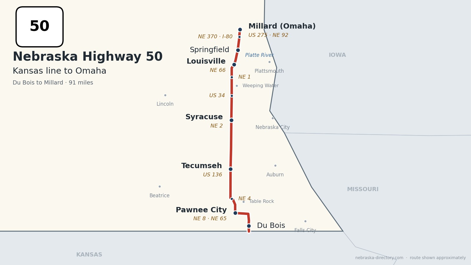
Nebraska Highway 50 runs about 91 miles north through southeast Nebraska, from the Kansas line south of Du Bois to US 275 and Nebraska 92 in Millard, on the west side of Omaha. It goes through Pawnee City, Tecumseh, Syracuse, Louisville and Springfield, crosses the Platte River just north of Louisville, and finishes as 144th Street in west Omaha. It is one continuous road through six counties and shares short stretches with Nebraska 8, 65, 4 and 66. South of the state line the same road continues into Kansas as K-63.
Before it was 50.
No named auto trail followed this road. None of the routes on Nebraska's 1924 list of named highways ran along it; the Detroit–Lincoln–Denver Highway and the Cornhusker Highway passed to the north and west. Sources date the Highway 50 number to about 1932. Kansas numbered its side, K-63, in 1927.
The railroads shaped the towns. Syracuse was laid out in 1869 ahead of a railroad, the Burlington reached Louisville in 1870, and Springfield was platted in 1873 in anticipation of the Missouri Pacific. Table Rock grew after the Atchison & Nebraska arrived about 1882, Manley was founded for the Missouri Pacific in 1883, and Du Bois was platted in 1886 when the railroad was extended and named for railroad official Capt. Charles J. DuBois. Pawnee City and Tecumseh are older than their railroads; both were county seats by 1857.
Begin your journey at the Kansas line and head north: through Du Bois and the courthouse towns of Pawnee City and Tecumseh, up through Syracuse and past US 34, across the Platte at Louisville, and through Springfield into Omaha.
Counties along Highway 50, south to north: Pawnee · Johnson · Otoe · Cass · Sarpy · Douglas
Pawnee County on Highway 50
Du Bois, Pawnee City and Table Rock.
On the road: Du Bois · Pawnee City (NE 8, NE 65) · Table Rock (east on NE 65) · Steinauer (west; Steinauer Community Historical Society) · Pawnee City Historical Society Museum · Iron Horse Trail Lake · Pawnee County page
Highway 50 enters from Kansas south of Du Bois, passes through town, and joins Nebraska 8, running north and then west into Pawnee City, the county seat. North of town it shares about three and a half miles with Nebraska 65, which goes on to Table Rock, then shares a little over a mile with Nebraska 4 before heading north into Johnson County.
History along the road. Pawnee City was chosen as county seat in 1856 and named for the Pawnee; a fire on August 9, 1881, destroyed two-thirds of downtown. Nebraska's first governor, David Butler, came from here, and the Pawnee City Historical Society Museum keeps 22 buildings, including Governor Butler's house. The Pawnee County Courthouse dates from 1911. Du Bois was platted in 1886 and named for railroad official Capt. Charles J. DuBois.
Johnson County on Highway 50
Tecumseh.
On the road: Elk Creek (east on NE 62) · Tecumseh (US 136) · Cook (east) · Johnson County Historical Society · Wirth Brothers Lake · Johnson County page
In Johnson County the road passes the turnoff for Elk Creek and runs into Tecumseh, the county seat, where it crosses US 136, the Heritage Highway scenic byway. North of town it passes Nebraska 41, which leads west to Wilber, and the spur east to Cook.
History along the road. Tecumseh was founded in 1856 as Frances and renamed for the Shawnee leader Tecumseh; it became the county seat in 1857. The Romanesque Revival Johnson County Courthouse was built in 1888–89 and is on the National Register, and the Johnson County Historical Society museum is at 289 Clay Street. Tecumseh was the main filming location for the TV miniseries Amerika.
Otoe County on Highway 50
Syracuse.
On the road: Burr (west) · Lorton (east on NE 128) · Syracuse (NE 2) · Unadilla (west on NE 2) · Otoe (east) · Nebraska City (east on NE 2) · Otoe County page
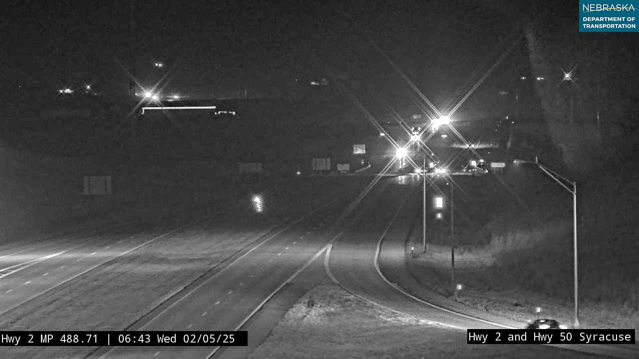
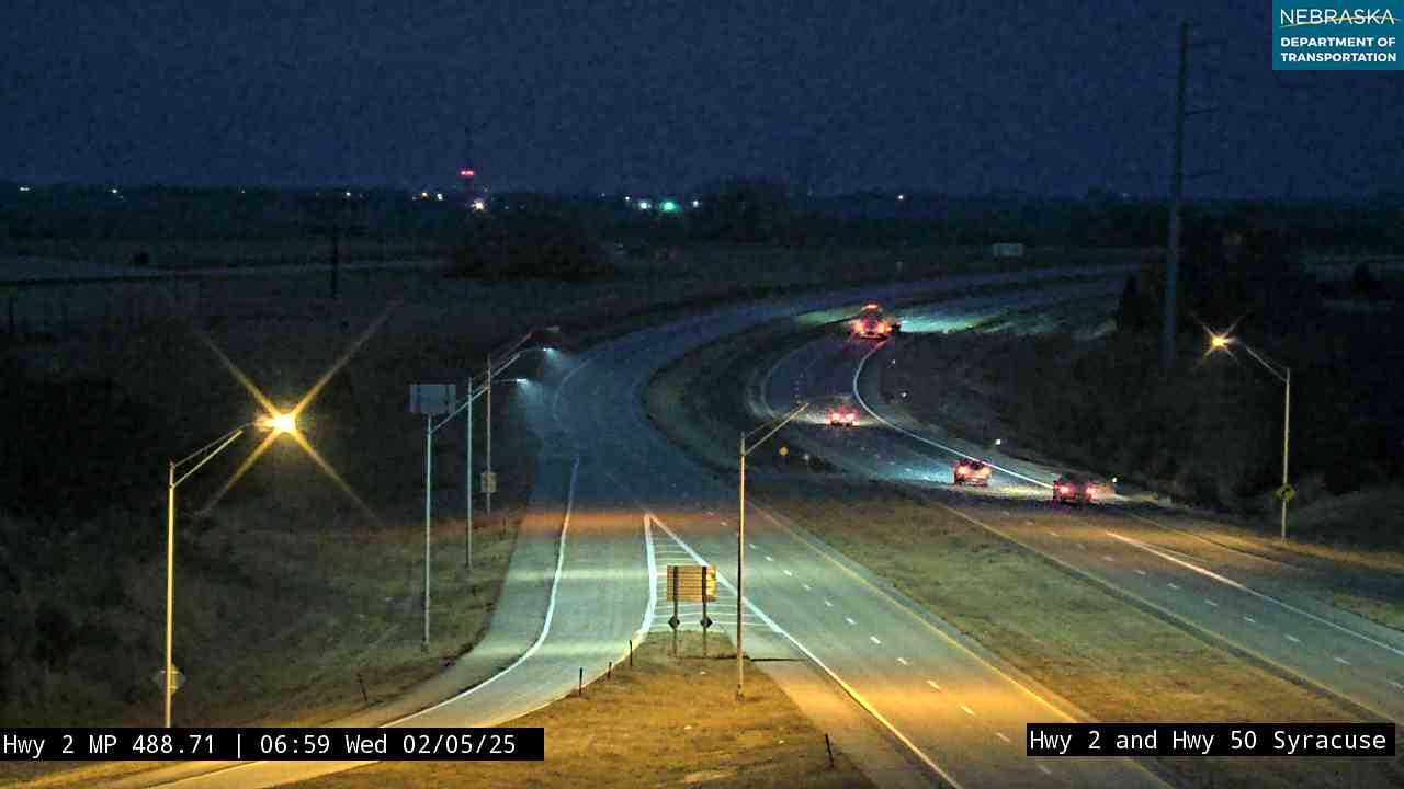
Highway 50 runs due north through Syracuse. Nebraska 2, the four-lane expressway between Lincoln and Nebraska City, bypasses the town with an interchange on Highway 50.
History along the road. Syracuse was laid out in 1869, ahead of the railroad, and named after Syracuse, New York. With 1,941 people in 2020, it is the largest town on the road south of the Omaha area. Unadilla, a few miles west on Nebraska 2, was platted in 1871 for the Midland Pacific.
Live cameras. Images from Nebraska 511; click one to open it full size.
Cass County on Highway 50
Weeping Water, Manley and Louisville.
On the road: Avoca (east of US 34) · Weeping Water (east) · Manley (east) · Murdock (west on NE 1) · Louisville (NE 66) · Louisville State Recreation Area · Platte River State Park · Cass County page
In Cass County the road crosses US 34 near Avoca, passes the spur east to Weeping Water and Nebraska 1, which leads west to Murdock and Elmwood, then curves northeast and shares just over a mile with Nebraska 66 on the southwest edge of Louisville. Louisville State Recreation Area is on the highway at the Platte, and Platte River State Park is about two miles west of Louisville. The Weeping Water Valley Historical Society and the Murdock Museum and Prairie Country School are short drives off the road.
History along the road. Louisville's post office opened on January 1, 1857. The Burlington arrived in 1870 and the Missouri Pacific in 1881, and the Ash Grove cement plant has run here since 1927. Manley was founded in 1883 for the Missouri Pacific, and Avoca was platted in 1882 for a new rail line; Avoca's Quack-Off duck races have been held each January since 1980. Weeping Water celebrates Limestone Day each June.
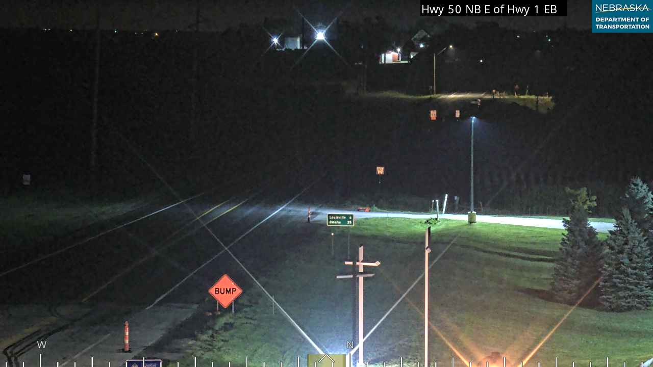
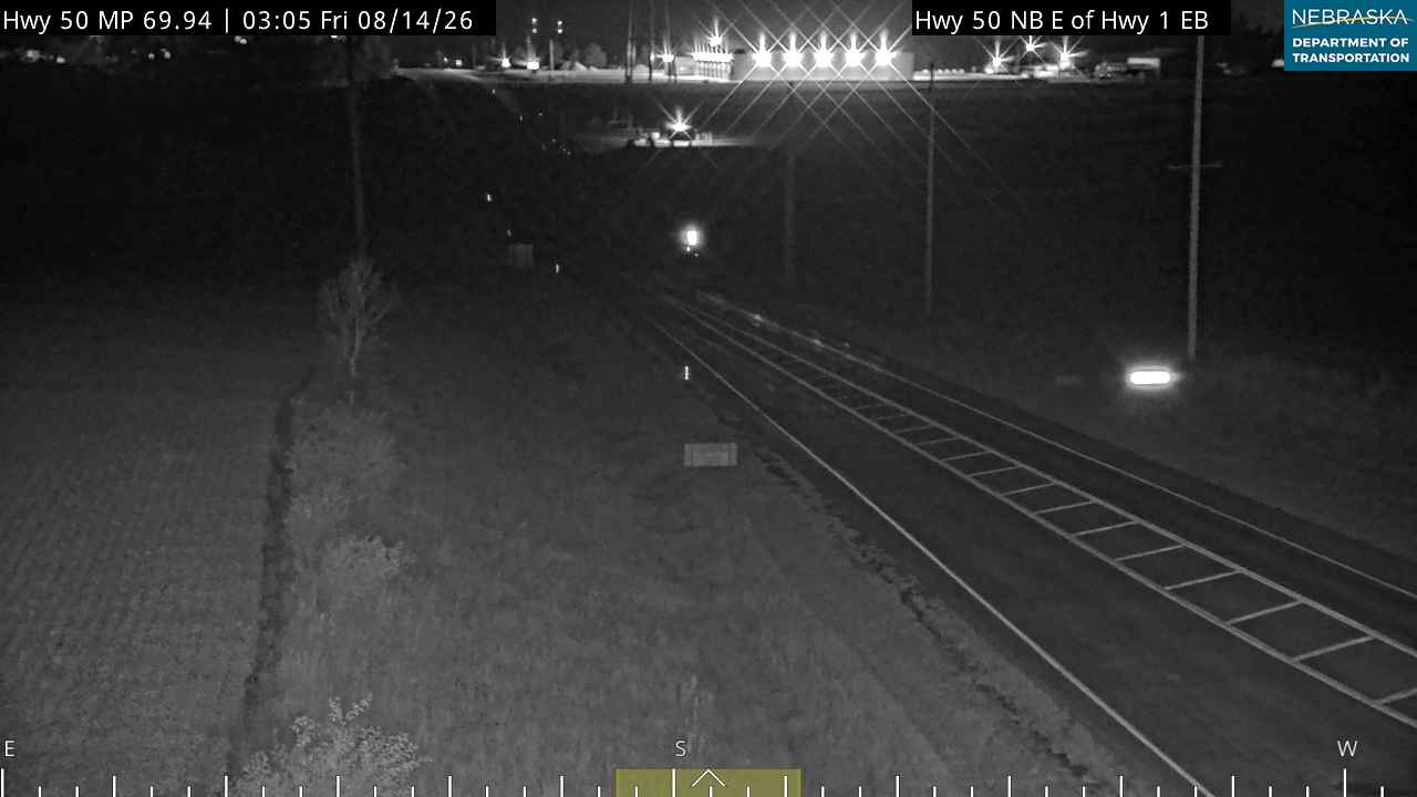
Live cameras. Images from Nebraska 511; click one to open it full size.
Sarpy County on Highway 50
Across the Platte to Springfield.
On the road: Springfield · Gretna (west) · Papillion (east on NE 370) · Schramm Park State Recreation Area · Werner Park · Sarpy County page
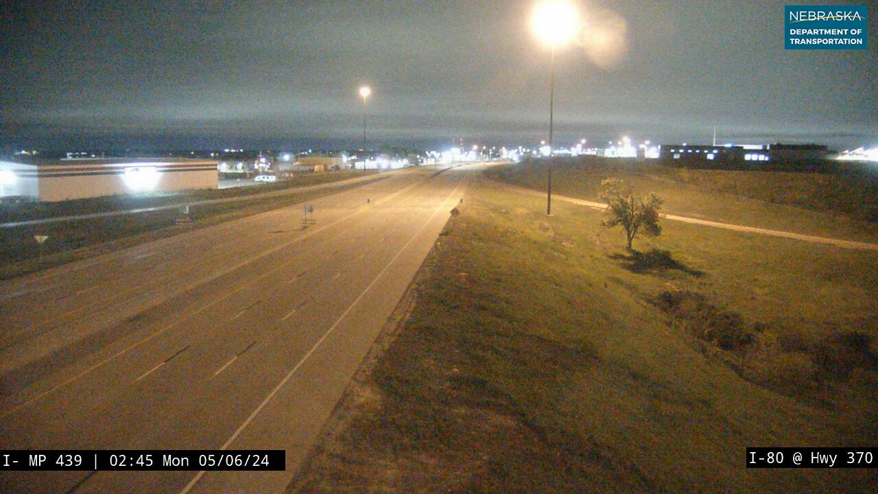
North of the Platte the road meets Nebraska 31, which leads north along the MoPac Trail past Schramm Park State Recreation Area, about five and a half miles west. Highway 50 becomes a divided highway at Springfield, meets Nebraska 370 at the western edge of Papillion, near Werner Park, home of the Omaha Storm Chasers, and crosses I-80 at exit 440. Eugene T. Mahoney State Park is about 14 miles west on I-80, and Chalco Hills Recreation Area, with Wehrspann Lake, is just west of 144th Street.
History along the road. Springfield was platted in 1873 by J. D. Spearman and named for nearby springs; it hosts the Sarpy County Fair each August, and the MoPac Trail begins here. Gretna, west of the road, was founded in 1886 on the Burlington's Omaha–Ashland line, and the fish hatchery at Schramm Park dates from 1882. The farmland north of Springfield is filling in with data centers, including Meta's Sarpy County campus near Highway 50 and Capehart Road.
Live cameras. Images from Nebraska 511; click one to open it full size.

Douglas County on Highway 50
Millard.
On the road: Millard · Omaha (US 275, NE 92) · Douglas County page
The last few miles run up 144th Street through west Omaha. The road ends at US 275 and Nebraska 92 near 132nd Street and Millard Avenue.
History along the road. Millard was laid out in 1870 by Ezra Millard and incorporated in 1885; Omaha annexed it in 1971 after a legal fight. The Millard water tower stands at 144th and Q Streets, on Highway 50.
Nebraska Road Conditions & Highway 50 Travel Tips
Highway 50 is two lanes from the Kansas line to Springfield and a divided highway from Springfield north. From August 2026 to about May 2027, Nebraska 4 is closed between Nebraska 99 and Highway 50 for bridge work, and the detour uses Highway 50. NDOT also plans a roundabout at the US 34 junction in Cass County. Check current conditions before you travel, especially in winter.
RV Travel & Camping Along Highway 50
- Pawnderosa Campground — near Pawnee City
- Syracuse Campground — in Syracuse
- Little River's Edge RV Park and Campground — near Syracuse
- Weeping Water Campground — east of the road at Weeping Water
- Louisville State Recreation Area — on the highway at the Platte
- Platte River State Park — two miles west of Louisville
- Eugene T. Mahoney State Park — I-80 exit 426
Related Nebraska Travel Corridors
- Highway 4 — in Pawnee County
- US Highway 136 — at Tecumseh
- Highway 2 — at Syracuse
- Interstate 80 — at exit 440
- US Highway 275 and Highway 92 — at Millard
- ← Explore All Nebraska Travel Corridors