
US Highway 275: O’Neill to Omaha
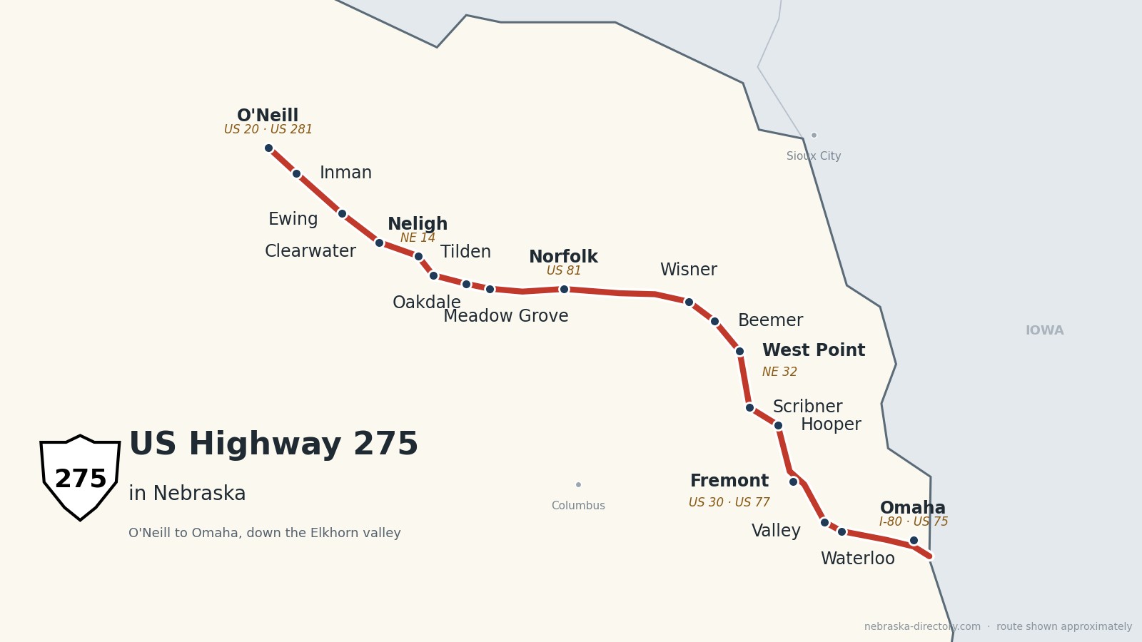
US Highway 275 runs about 190 miles across northeast Nebraska, from US 20 and US 281 in downtown O’Neill southeast to the Missouri River at Omaha. For most of the way it follows the Elkhorn River valley—through Ewing, Neligh, Norfolk, Wisner and West Point—then runs past Scribner to Fremont and on through Valley and Waterloo into Omaha, where it crosses into Council Bluffs, Iowa.
Before it was 275.
This was the Elkhorn Valley railroad route first. The Fremont, Elkhorn & Missouri Valley Railroad broke ground at Fremont on November 5, 1869; its tracks reached West Point in 1870, Wisner by 1871, Norfolk in 1879, Neligh in October 1880 and O’Neill in 1881. The Chicago & North Western took over the line in 1903.
In the auto-trail days the road carried named highways. The Blue Pole Highway came from Chadron and Valentine through O’Neill and on southeast to Fremont, the Black Hills–Sioux Trail passed through Norfolk, and at Fremont the road met the Lincoln Highway and the George Washington National Highway from Sioux City. US 275 itself began in the early 1930s as a short route from Council Bluffs to St. Joseph, Missouri. In 1939 it was extended across the Missouri into Nebraska, and the Norfolk stretch was built as a two-lane highway that same year.
The road is still changing. In November 2001 a freeway replaced the old route beside the Union Pacific tracks between Waterloo and Fremont; the old road through Valley is still called “Old Highway 275.” The 18.5 miles from Scribner to West Point opened as four-lane expressway on November 4, 2024, and the last gap, West Point to Wisner, went under contract in January 2026.
Begin your journey at the shamrock in O’Neill and follow the Elkhorn southeast—past the old Neligh Mill, through Norfolk and the Cuming County towns, to Fremont and the Omaha metro.
Counties along US 275, west to east: Holt · Antelope · Madison · Stanton · Cuming · Dodge · Douglas
Holt County on US Highway 275
Where US 275 begins.
On the road: O’Neill (US 20, US 281) · Inman · Ewing · Holt County page
US 275 begins in downtown O’Neill, the county seat, at US 20 and US 281. It shares the road with US 20 for 13 miles southeast through Inman; then US 20 turns east toward Orchard and US 275 continues down the Elkhorn to Ewing.
History along the road. Gen. John O’Neill, who led three Fenian raids into Canada, brought his first Irish colonists here in 1874, and in 1969 the governor proclaimed O’Neill the Irish Capital of Nebraska. The “world’s largest permanent shamrock” has been at 4th and Douglas since 2000. The railroad reached O’Neill in 1881, and Inman, founded that year, is named for pioneer William H. Inman.
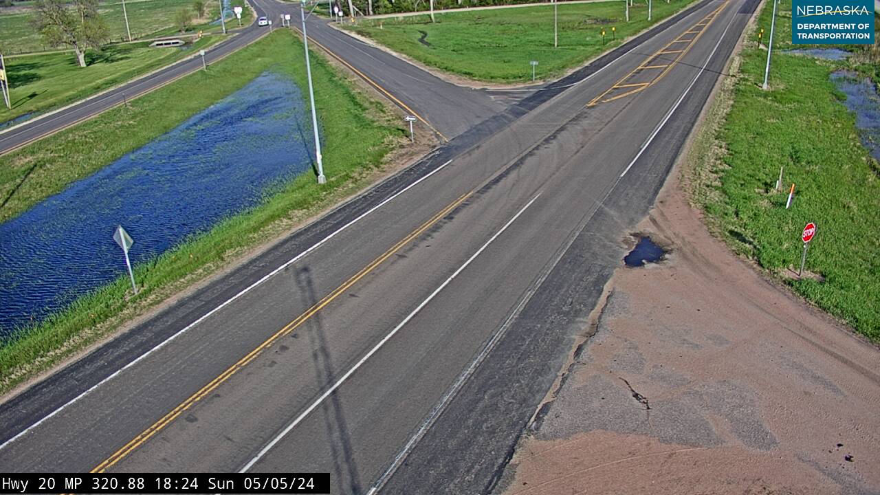
Live cameras. Images from Nebraska 511; click one to open it full size.
Antelope County on US Highway 275
Neligh and the Elkhorn valley.
On the road: Clearwater · Neligh (Nebraska 14) · Oakdale · Tilden · Antelope County page
The road follows the Elkhorn through Clearwater to Neligh, the county seat, where it crosses Nebraska 14, then continues through Oakdale to Tilden on the Madison County line.
History along the road. Antelope County was created on March 1, 1871, and named for the pronghorn. John D. Neligh of West Point picked the town site in 1872. The Neligh Mill opened on August 29, 1874; now a State Historic Site, it is the only 19th-century mill in Nebraska that still has all of its original equipment. White Buffalo Girl, a Ponca child who died on the 1877 removal march, is buried at Laurel Hill Cemetery in Neligh—see the Ponca Trail of Tears. Oakdale was platted in 1872 and named for its oak groves; Tilden, laid out in 1880 as Burnett, was renamed in 1887 for Samuel J. Tilden.
The road at Clearwater. Clearwater, ten miles west of Neligh, grew up at a railroad water stop in 1880–81, and its people built much of this road themselves. On April 24, 1916, four Clearwater men painted fence posts to mark the passable routes to Ewing, Orchard and Royal. By 1923 the Blue Pole Highway ran from Neligh to Clearwater, and in April 1924 crews with seven horse-drawn fresnos graded the six and a half miles west to the Holt County line; the state named the finished road Nebraska No. 8. It was rebuilt as a federal aid project in 1936–37, and by late summer 1939 it was open as US 275. Read the full story in the Clearwater history.
Madison County on US Highway 275
Norfolk, the biggest city on the Elkhorn.
On the road: Meadow Grove · Battle Creek (just south) · Norfolk (US 81) · Madison County page
US 275 runs along the north side of Meadow Grove and passes just north of Battle Creek, then crosses the southern part of Norfolk, where it meets US 81—Johnny Carson Boulevard.
History along the road. Norfolk was settled in July 1866 by German families from the Ixonia and Watertown area of Wisconsin; the name comes from the North Fork of the Elkhorn. Johnny Carson grew up here and graduated from Norfolk High School. Meadow Grove was platted in 1886 and named for a grove of trees in a meadow.
Live cameras. Images from Nebraska 511; click one to open it full size.

Stanton County on US Highway 275
Pilger and the 2014 tornadoes.
On the road: Pilger (just south; Nebraska 15) · Stanton (south on Nebraska 57) · Stanton County page
East of Norfolk the highway crosses the north part of the county. Nebraska 15 shares it for about two miles near Pilger, which sits just south of the road; Stanton, the county seat, is reached by Nebraska 57.
History along the road. The county was first called Izard County and was renamed in 1862 for Secretary of War Edwin M. Stanton. Pilger was platted in 1880 and named for landowner Peter Pilger. On June 16, 2014, one storm produced a family of tornadoes, including the EF4 “Pilger twins”; two people died, about three-quarters of Pilger was heavily damaged or destroyed, and all four violent tornadoes crossed Highway 275.
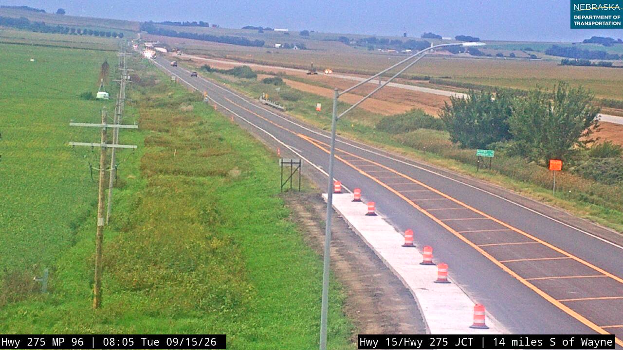
Live cameras. Images from Nebraska 511; click one to open it full size.
Cuming County on US Highway 275
Wisner, Beemer and West Point.
On the road: Wisner · Beemer · West Point (Nebraska 32) · Cuming County page
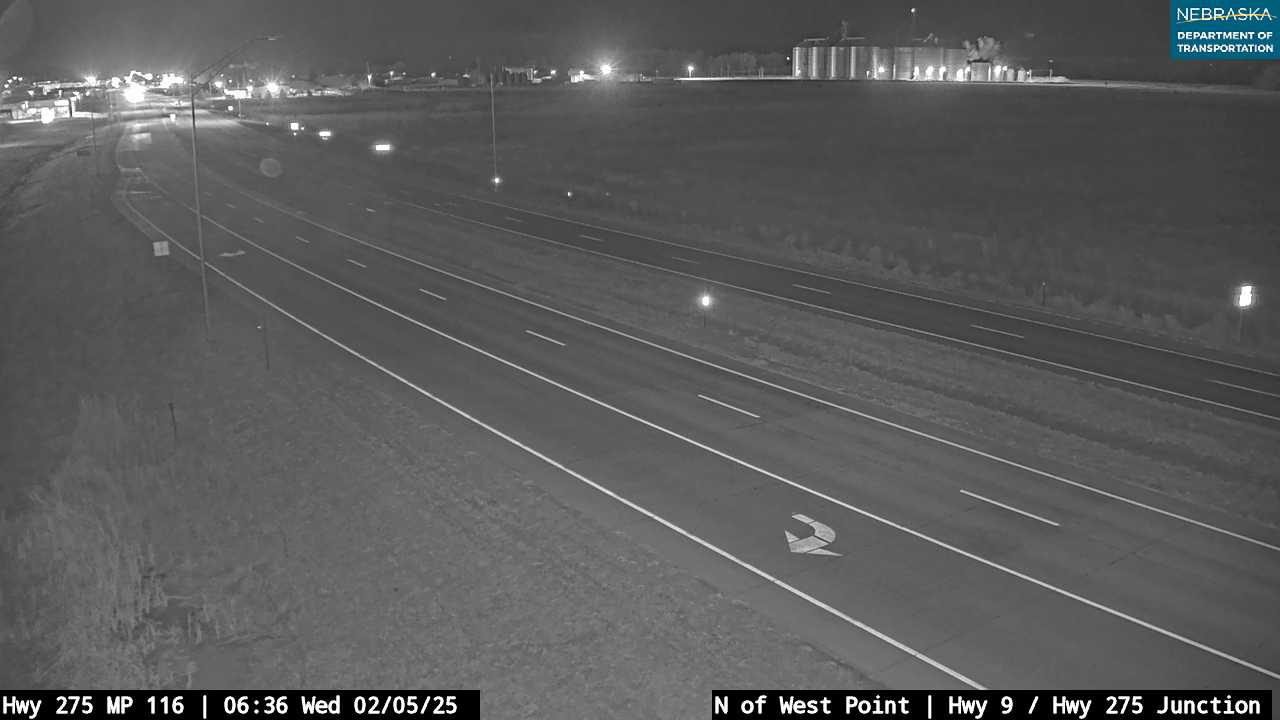
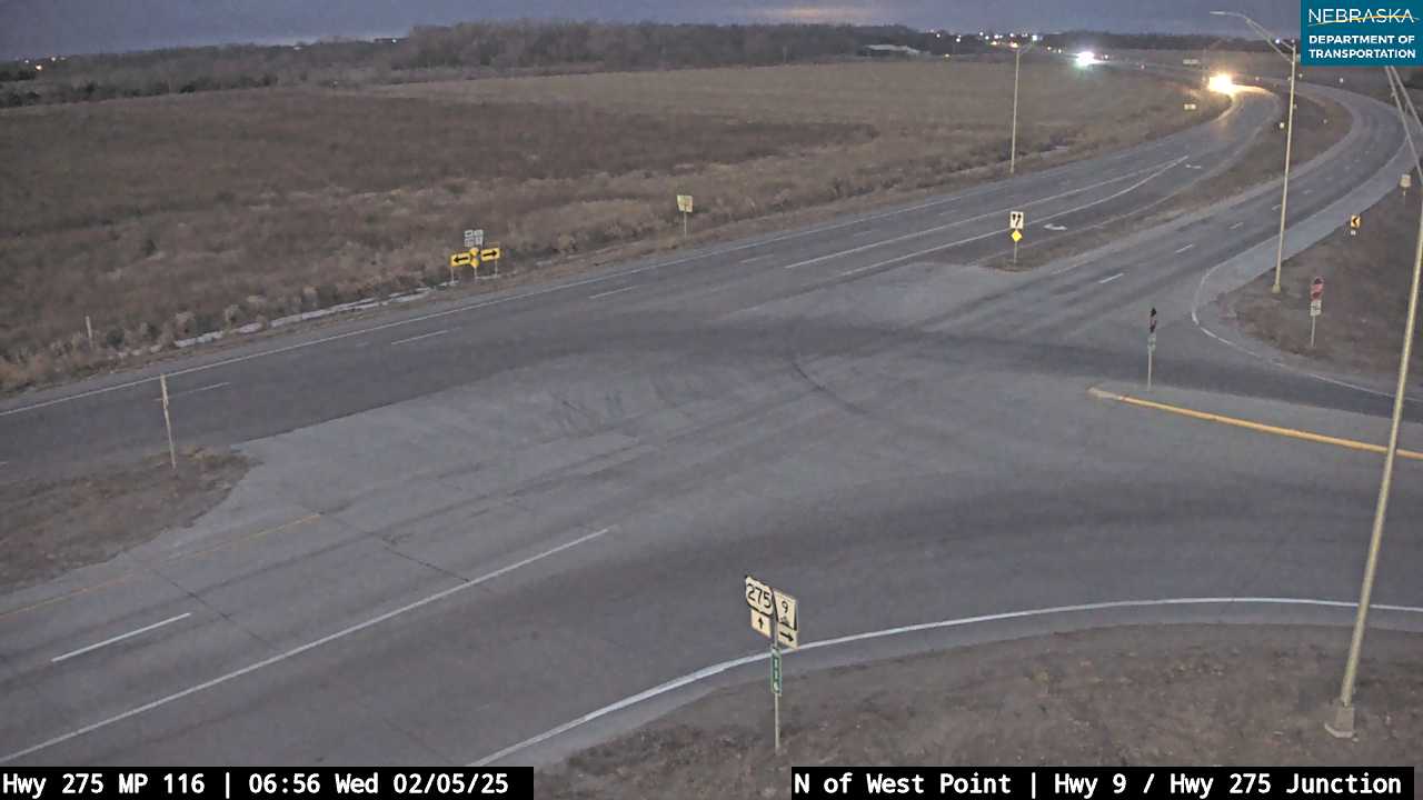
In Wisner, US 275 is Main Street and the business district. It passes Beemer and comes into West Point, the county seat, where Nebraska 32 joins it and Nebraska 9 begins just north of town. The stretch between Wisner and West Point is the last one waiting for four lanes.
History along the road. West Point was founded in 1857 as New Philadelphia and renamed because it was the westernmost outpost in the valley; it became the county seat on October 12, 1858. Wisner, founded in 1871, is named for railroad official Samuel P. Wisner, and Beemer for Allen D. Beemer; its post office opened in 1886.
Live cameras. Images from Nebraska 511; click one to open it full size.
Dodge County on US Highway 275
Fremont and the Lincoln Highway.
On the road: Scribner (Nebraska 91) · Hooper · Fremont (US 30, US 77) · Dodge County page
Nebraska 91 joins US 275 near Scribner, and the two run south past Hooper, which a 2010 bypass skirts. At Fremont, the county seat, US 77 joins and the route swings around the city, sharing about 3.6 miles with US 30, the Lincoln Highway. The 3.2-mile Fremont Southeast Beltway opened in 2023.
History along the road. Fremont was laid out in August 1856 and named for John C. Frémont, that year’s Republican presidential candidate, whose 1842 expedition passed nearby; it became the county seat in 1860. Scribner, founded in 1870, is named for publisher Charles Scribner, and Hooper, founded in 1871, for Massachusetts congressman Samuel Hooper.
Douglas County on US Highway 275
Into Omaha and across the Missouri.
On the road: Valley · Waterloo · Omaha (I-80, US 75, US 6) · Douglas County page
The freeway runs past Valley and Waterloo, sharing the road with Nebraska 64, then Nebraska 92 joins and the route crosses the Elkhorn River. In Omaha it follows West Center Road, Industrial Road, L Street and Missouri Avenue, with interchanges at I-680/I-80 and US 75, and crosses into Council Bluffs on the South Omaha Veterans Memorial Bridge. The bridge opened on May 28, 2010, replacing one from 1936.
History along the road. Valley was laid out in 1864 as the Union Pacific approached and is named for the Platte valley. Waterloo was founded in 1883. Omaha, founded in 1854 and named for the Omaha people, is the Douglas County seat.
Live cameras. Images from Nebraska 511; click one to open it full size.

Nebraska Road Conditions & US-275 Travel Tips
Much of US 275 is now four lanes, but construction continues between West Point and Wisner. Check current conditions before you travel, especially in winter.
RV Travel & Camping Along US Highway 275
- Riverside Park — on the Elkhorn at Neligh
- Ta-Ha-Zouka Park — city campground in Norfolk
- Neligh Park — city campground in West Point
- Fremont Lakes State Recreation Area — just west of Fremont
Related Nebraska Travel Corridors
- US Highway 20 and US Highway 281 — at O’Neill
- Highway 14 — at Neligh
- US Highway 81 — at Norfolk
- Highway 15 — near Pilger
- Highway 32 — at West Point
- Highway 91 — near Scribner
- US Highway 30 — at Fremont
- Highway 92, Interstate 80, US Highway 75 and US Highway 6 — in Omaha
- ← Explore All Nebraska Travel Corridors