
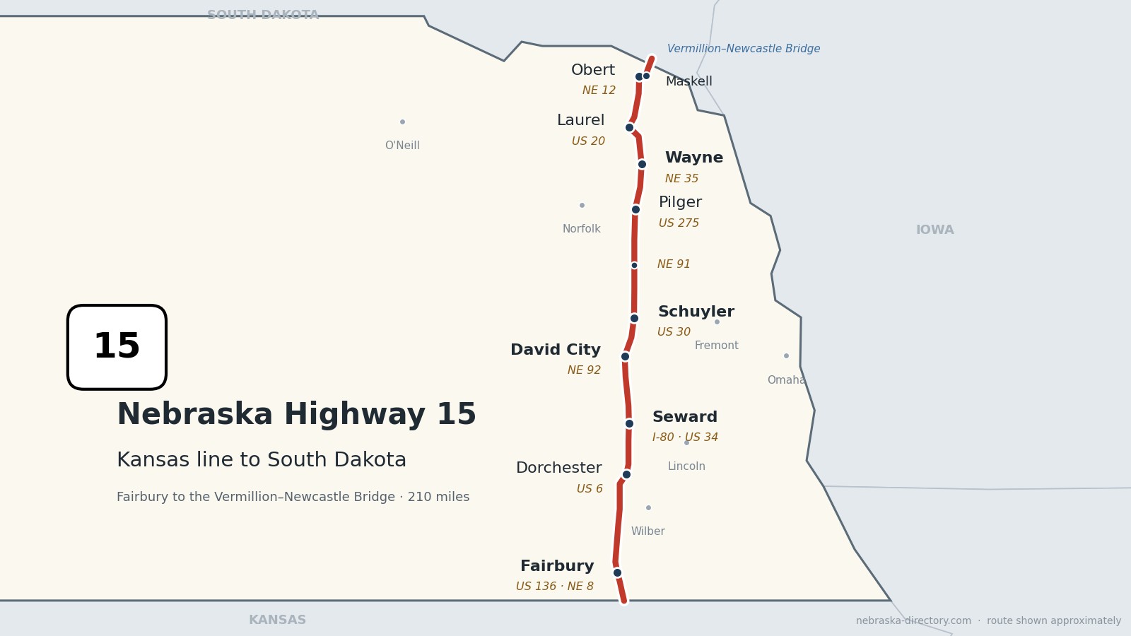
Nebraska Highway 15: Fairbury to the Missouri River
Nebraska Highway 15 runs about 210 miles north across eastern Nebraska, from the Kansas line south of Fairbury to the Missouri River, where it crosses the Vermillion–Newcastle Bridge into South Dakota. It is one continuous road through nine counties, passing through Fairbury, Dorchester, Seward, David City, Schuyler, Pilger, Wayne, Laurel, Obert and Maskell. Along the way it crosses the Little Blue River, Interstate 80 at Seward and the Platte River just south of Schuyler, and it shares short stretches with US 6, US 275, US 20, Nebraska 12 and four other state highways.
Before it was 15.
The 1924 named highways crossed this corridor rather than following it. The Goldenrod Highway and the Midwest Highway both ran east and west through Fairbury, a Seward–York–Aurora road linked Seward with towns to the west, and the Lincoln Highway ran through Schuyler along today's US 30. The Detroit–Lincoln–Denver Highway probably crossed near Dorchester, on the line of today's US 6.
Highway 15 dates from 1925, when pieces of several earlier numbered routes were joined into one road. Its northern end has changed. Until 2001 it ran north through Hartington to Highway 12. When the Vermillion–Newcastle Bridge was dedicated on November 10, 2001, Highway 15 and Highway 57 traded routes so that 15 would lead to the new bridge, and about three and a half miles of new road were built down to the river.
Railroads came early. The Union Pacific reached Schuyler, then called Shell Creek Station, in 1866. The Burlington & Missouri River platted Dorchester in 1870, Seward got its railroad in 1873, and the Chicago, St. Paul, Minneapolis & Omaha reached Wayne in 1881 and built Obert and Maskell in 1907. Fairbury, founded in 1869, got the St. Joseph & Denver City in 1872, and the Rock Island made it a division headquarters from 1886 to 1965.
Begin your journey at Fairbury and head north: past Rock Creek Station, through Dorchester and Seward, across the Platte to Schuyler, through Pilger and the college town of Wayne, and on to the Missouri River at Maskell and the bridge to Vermillion.
Counties along Highway 15, south to north: Jefferson · Saline · Seward · Butler · Colfax · Stanton · Wayne · Cedar · Dixon
Jefferson County on Highway 15
Fairbury and Rock Creek Station.
On the road: Fairbury (US 136, NE 8) · Rock Creek Station (6 miles southeast of Fairbury) · Jefferson County page
Highway 15 enters from Kansas, where it continues as K-15, crosses the Little Blue River and runs into Fairbury, the county seat. It shares K Street with Nebraska 8, meets US 136 on the east side of town, and north of Fairbury shares a mile with Nebraska 4.
History along the road. Fairbury was platted in 1869 and named for Fairbury, Illinois, the hometown of co-founder W. G. McDowell; it has been the county seat since 1870, and its downtown is on the National Register of Historic Places. The Rock Island made Fairbury its Western Division headquarters from 1886 until 1965, and its depot is now the Rock Island Depot Museum. Rock Creek Station was a stop on the Oregon Trail and the Pony Express and the site of Wild Bill Hickok's 1861 gunfight; its wagon ruts can still be seen.
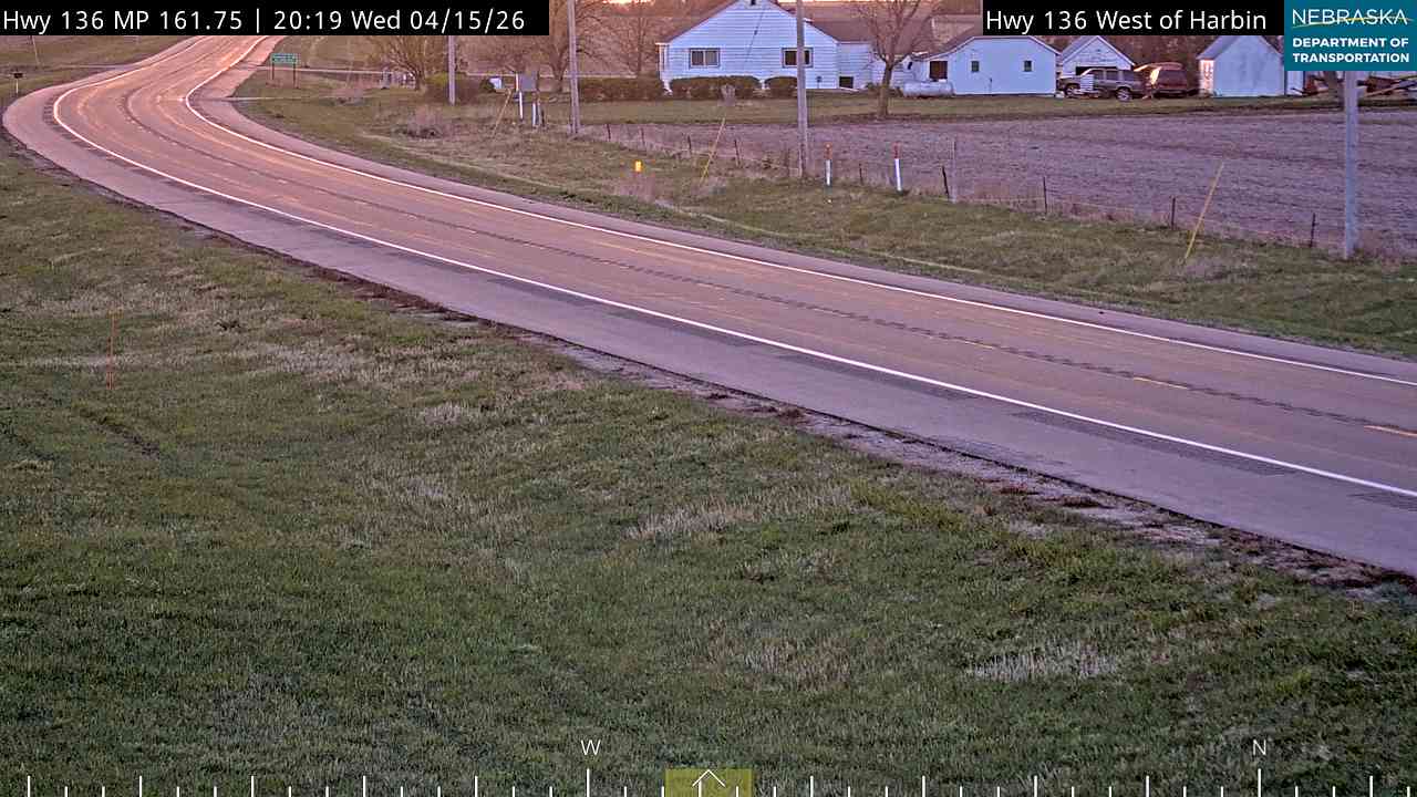
Live cameras. Images from Nebraska 511; click one to open it full size.
Saline County on Highway 15
Western, Dorchester and the turnoff to Wilber.
On the road: Western (spur) · Wilber (11 miles east on NE 41) · Dorchester (US 6) · Crete (east on NE 33) · Saline County page
The road passes the spur to Western and the west end of Nebraska 74, shares about two miles with Nebraska 41, which leads 11 miles east to Wilber, and then joins US 6 near Dorchester. Nebraska 33 begins here and heads east to Crete.
History along the road. Dorchester was platted in 1870 on the Burlington & Missouri River line; its name was probably chosen to fit the alphabetical order of the stations west of Lincoln. Wilber, named the "Czech Capital of the USA" in 1987, holds Czech Days each summer.
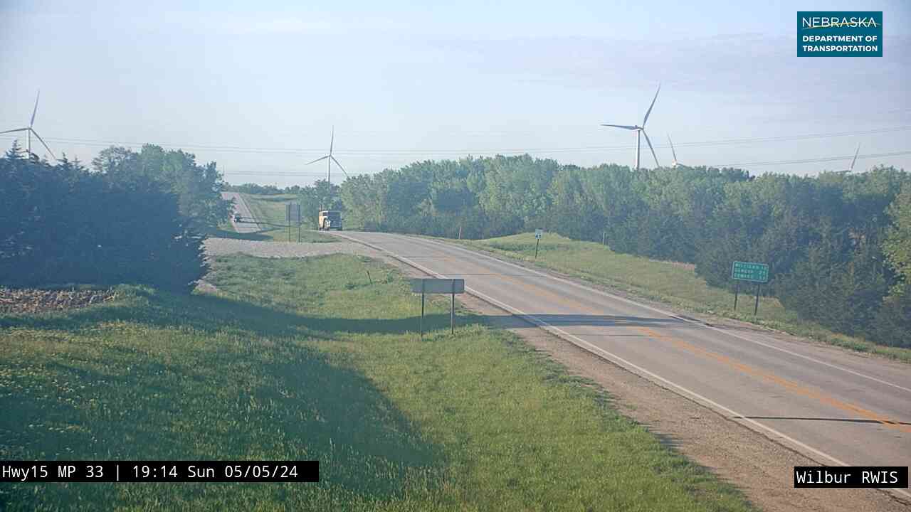
Live cameras. Images from Nebraska 511; click one to open it full size.

Seward County on Highway 15
Seward.
On the road: Seward (I-80, US 34) · Staplehurst (spur) · Bee (spur) · Seward County page
Highway 15 leaves US 6, crosses Interstate 80 at exit 379 and runs up Sixth Street into Seward, the county seat, where it crosses US 34. North of town, spurs lead to Staplehurst and Bee.
History along the road. Seward was platted in 1868 and is home to Concordia University. In 1979 Congress named it "America's Official Fourth of July City—Small Town USA." Highway 15 through town was rebuilt in 2024. The Seward County Historical Society Museum is nearby.
Butler County on Highway 15
David City.
On the road: David City (NE 92) · Bruno (spur) · Linwood (spur) · Butler County page
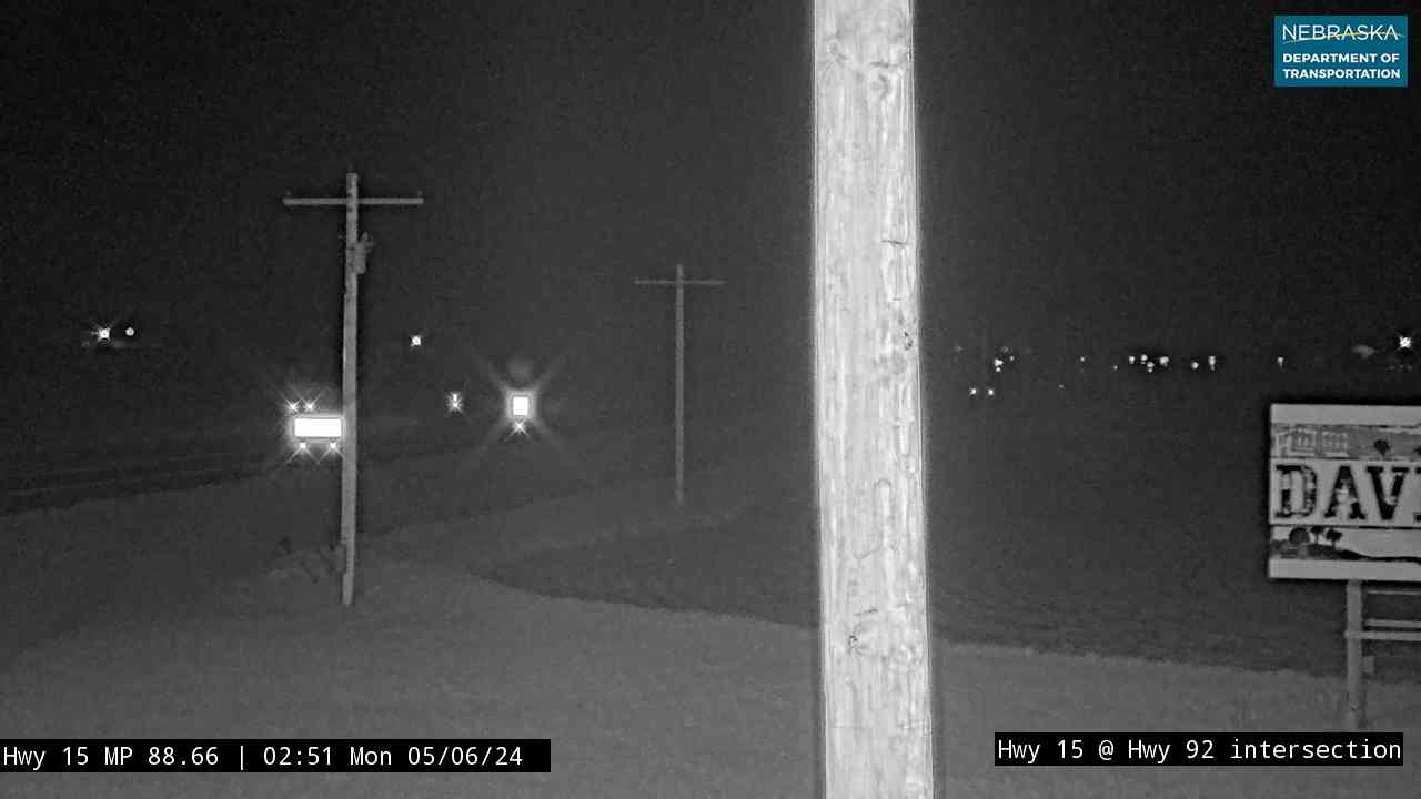
Highway 15 passes Nebraska 66, shares about a mile and a half with Nebraska 92, and runs through David City, the county seat. Farther north, spurs lead to Bruno and Linwood, and the road crosses the Platte River just south of Schuyler.
History along the road. David City was founded in 1873 to give Butler County a more central county seat; there are three competing stories about its name. The Bone Creek Museum of Agrarian Art and the Butler County Museum are in town.
Live cameras. Images from Nebraska 511; click one to open it full size.

Colfax County on Highway 15
Schuyler, Clarkson and Howells.
On the road: Schuyler (US 30) · Clarkson (3 miles west on NE 91) · Howells (3 miles east on NE 91) · Colfax County page
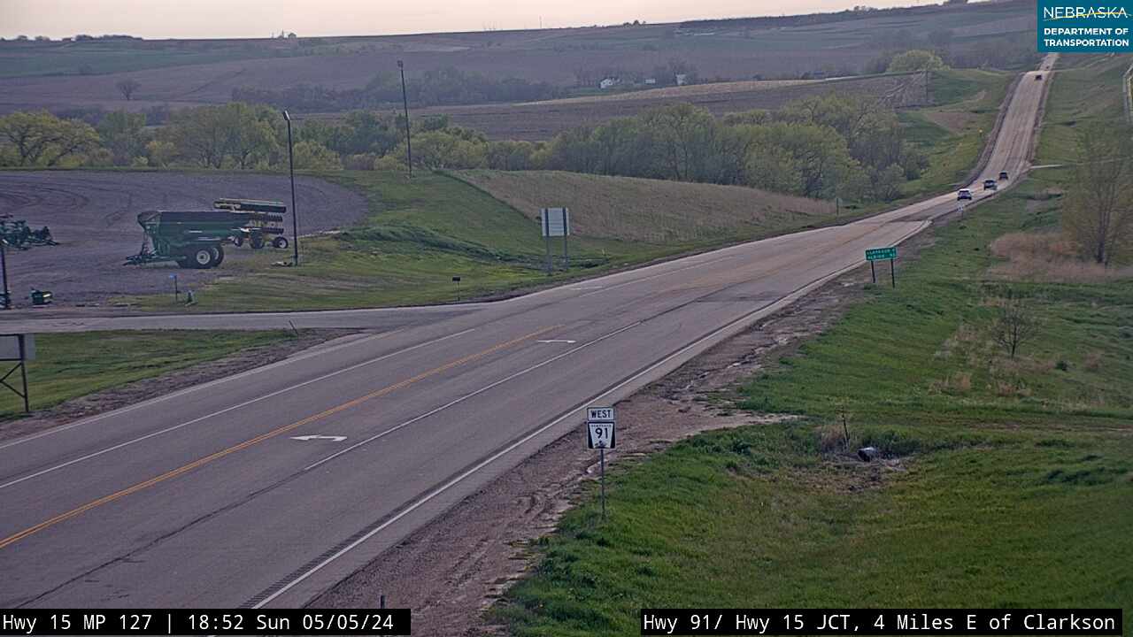
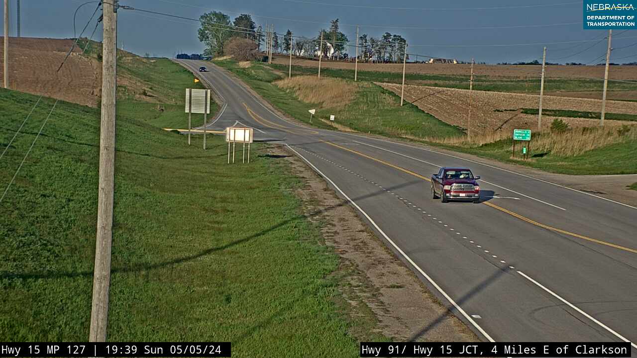
North of the Platte, Highway 15 meets US 30 at an interchange at Schuyler, the county seat, and continues north to Nebraska 91, with Clarkson three miles west and Howells three miles east.
History along the road. Schuyler is named for Vice President Schuyler Colfax. The Union Pacific reached it, then called Shell Creek Station, in 1866, and in 1870 it became Nebraska's first cattle-shipping "cow town." It sat on the Lincoln Highway from 1913 to 1925, and its Oak Ballroom, built by the WPA in 1937, is on the National Register of Historic Places.
Live cameras. Images from Nebraska 511; click one to open it full size.
Stanton County on Highway 15
Pilger.
On the road: Pilger (US 275) · Stanton County page
Highway 15 meets Nebraska 32, then runs through Pilger in the Elkhorn valley, where it shares two miles with US 275. The Pilger Recreation Area, run by the Lower Elkhorn Natural Resources District, is just north of town.
History along the road. Pilger was platted in 1880 and named for town-site owner Peter Pilger; the Chicago & North Western served it until 1982. On June 16, 2014, an EF4 tornado struck the village and killed two people.
Live cameras. Images from Nebraska 511; click one to open it full size.
Wayne County on Highway 15
Wayne.
On the road: Wayne (NE 35) · Wayne County page
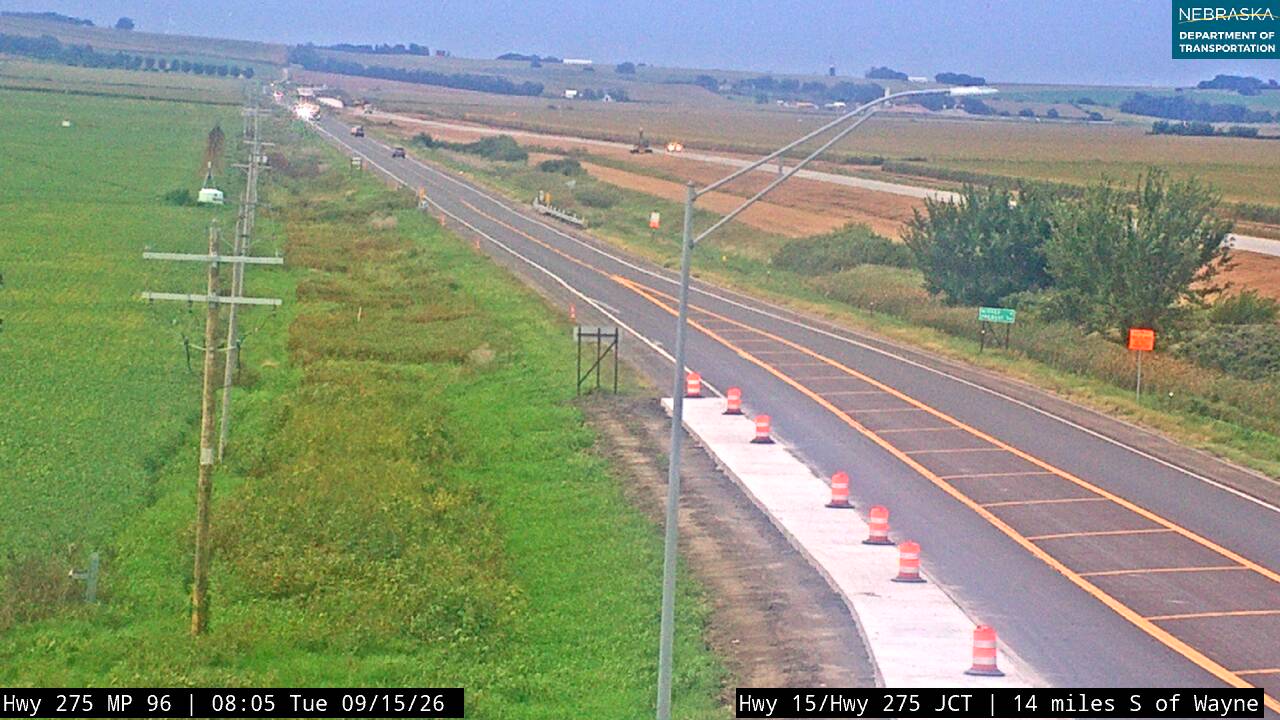
Highway 15 runs through Wayne, the county seat, where it meets Nebraska 35.
History along the road. Wayne and Wayne County are named for General Anthony Wayne. The Chicago, St. Paul, Minneapolis & Omaha Railway arrived in 1881. Wayne is home to Wayne State College, and its Chicken Show, held each July, marked its 46th year in 2026.
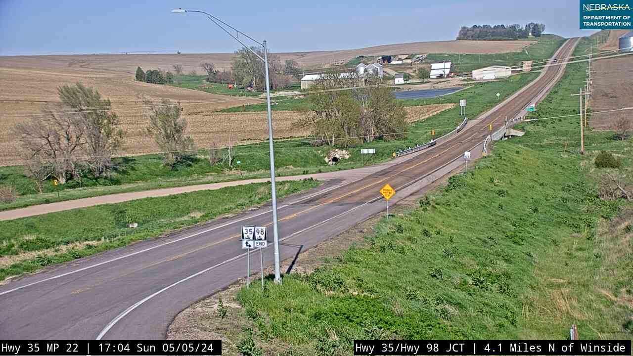
Live cameras. Images from Nebraska 511; click one to open it full size.
Cedar County on Highway 15
Laurel and Obert.
On the road: Laurel (US 20) · Concord (east via NE 116) · Hartington (west on NE 84) · Obert (NE 12) · Cedar County page
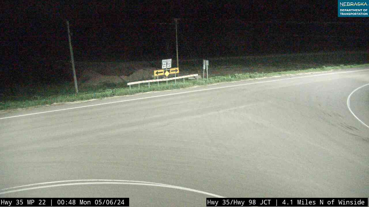
Nebraska 116 leads east toward Concord at the Dixon–Cedar county line. Highway 15 runs into Laurel and shares about two and a half miles with US 20, passes Nebraska 59 and Nebraska 84, which leads west to Hartington, and joins Nebraska 12 at Obert.
History along the road. Laurel, first called Claremont Junction, is named for Laura Martin, a founder's daughter. Obert was founded in 1907 on the Chicago, St. Paul, Minneapolis & Omaha and named for a railroad official. Until 2001, Highway 15 went north from here through Hartington; that road is now Highway 57.
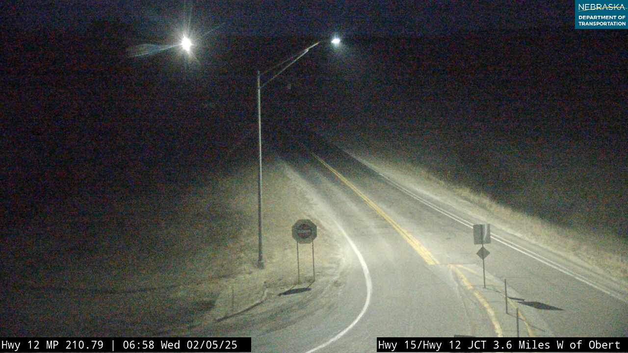
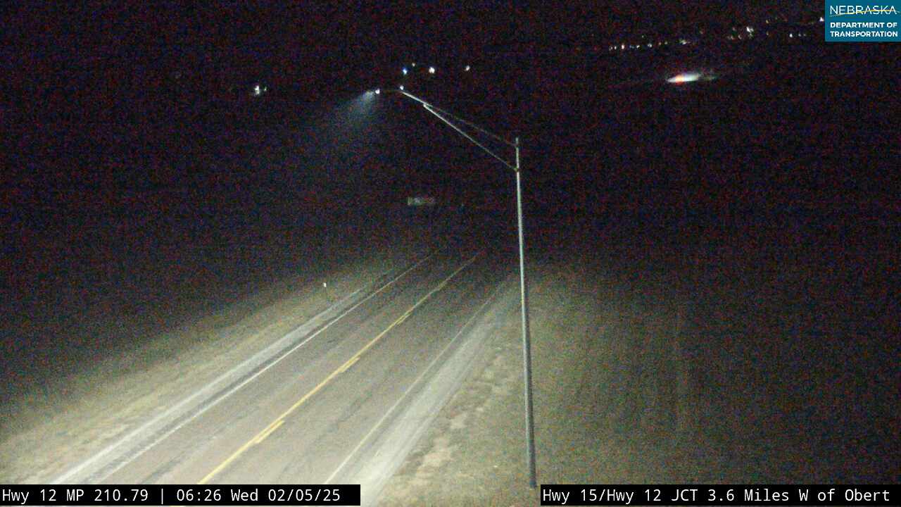
Live cameras. Images from Nebraska 511; click one to open it full size.
Dixon County on Highway 15
Maskell and the Vermillion–Newcastle Bridge.
On the road: Maskell · Newcastle (east on NE 12) · Ponca State Park (east via NE 12) · Dixon County page
With Nebraska 12, the road passes Maskell, then turns north for about three miles to the Missouri River and crosses the Vermillion–Newcastle Bridge into South Dakota, where it continues as SD 19 toward Vermillion. The Mulberry Bend Overlook on the Missouri National Recreational River is on the east side of the road just south of the bridge. Ponca State Park is about 20 miles east by way of Highway 12.
History along the road. Maskell was founded in 1907 and is said to have the smallest city hall in the country. Congress authorized the bridge in 1991, work began in July 2000, and it was dedicated on November 10, 2001; before then, no road led to the river here.
Nebraska Road Conditions & Highway 15 Travel Tips
Highway 15 is two lanes nearly all the way. NDOT plans resurfacing between the Kansas line and Fairbury, south of US 6 and near David City in the next few years. Check current conditions before you travel, especially in winter.
RV Travel & Camping Along Highway 15
- Rock Creek Station State Recreation Area — southeast of Fairbury
- Ponca State Park — east of Maskell on Highway 12
Related Nebraska Travel Corridors
- US Highway 136 and Highway 4 — at Fairbury
- US Highway 6 — at Dorchester
- Interstate 80 — at Seward
- Highway 92 — at David City
- US Highway 30 — at Schuyler
- Highway 91 — near Clarkson
- US Highway 275 — at Pilger
- US Highway 20 — at Laurel
- Highway 84 — to Hartington
- Highway 12 — at Obert and Maskell
- ← Explore All Nebraska Travel Corridors