
Nebraska Highway 84: Verdigre to Hartington
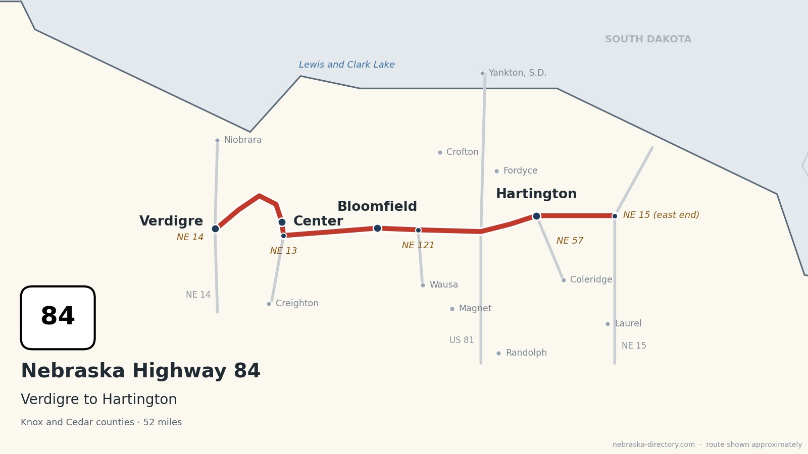
Nebraska Highway 84 runs about 52 miles across northeast Nebraska, from Nebraska 14 on the east side of Verdigre to Nebraska 15 about nine miles east of Hartington. It heads northeast out of Verdigre into hilly prairie, turns south to Center, the Knox County seat, then runs east through farm country to Bloomfield, crosses US 81 into Cedar County and goes through Hartington, the Cedar County seat, where it shares half a mile with Nebraska 57. It is one continuous road through two counties.
Before it was 84.
No named auto trail followed this road. The only highway on Nebraska's 1924 list of named highways that crossed it was the Meridian Highway, the north–south road that became US 81 in 1926; it crossed the Missouri River to Yankton on the Meridian Highway Bridge, finished in 1924. Highway 84 itself dates from about 1935.
Three of the four towns on the road began with the railroads. Verdigre was platted in 1887, shortly before the Fremont, Elkhorn & Missouri Valley arrived. Hartington was platted in 1883 as a railroad water stop. Bloomfield was founded on October 2, 1890, on a Chicago, St. Paul, Minneapolis & Omaha branch from Randolph whose tracks were torn up in 1965. Center is the exception: it was laid out in 1901 on two cornfields near the middle of Knox County to be the county seat.
Begin your journey at Verdigre and head east: over the hills to Center, through the farm country around Bloomfield, across US 81 and through Hartington to Nebraska 15.
Counties along Highway 84, west to east: Knox · Cedar
Knox County on Highway 84
Verdigre, Center and Bloomfield.
On the road: Verdigre (NE 14) · Niobrara (north on NE 14) · Center · Creighton (south on NE 13) · Bloomfield · Wausa (south on NE 121) · Crofton (north) · Verdigre Heritage Museum · Knox County Courthouse · Bloomfield Historical Society · Niobrara State Park · Knox County page
Highway 84 starts at Nebraska 14 on the east side of Verdigre; Niobrara and Niobrara State Park are about 11 miles north. The road climbs northeast into hilly prairie, turns south past Center, meets Nebraska 13, which leads south to Creighton, and runs east through farmland into Bloomfield. East of Bloomfield, Nebraska 121 leads south to Wausa. The Bloomfield unit of Lewis and Clark State Recreation Area is about 20 miles north of town on Lewis and Clark Lake.
History along the road. Verdigre, platted in 1887 and named for Verdigre Creek, calls itself the Kolach Capital of the World and holds Kolach Days each June; its 1903 Z.C.B.J. Opera House, a Czech community hall, is on the National Register. Center was chosen as county seat in 1901 after five elections, and its 1934 Knox County Courthouse is on the National Register. Bloomfield, founded at a lot auction on October 2, 1890, hosts the Knox County Fair each August. Wausa, settled by Swedes and named from "Vasa" and "USA," holds a smörgåsbord every October.
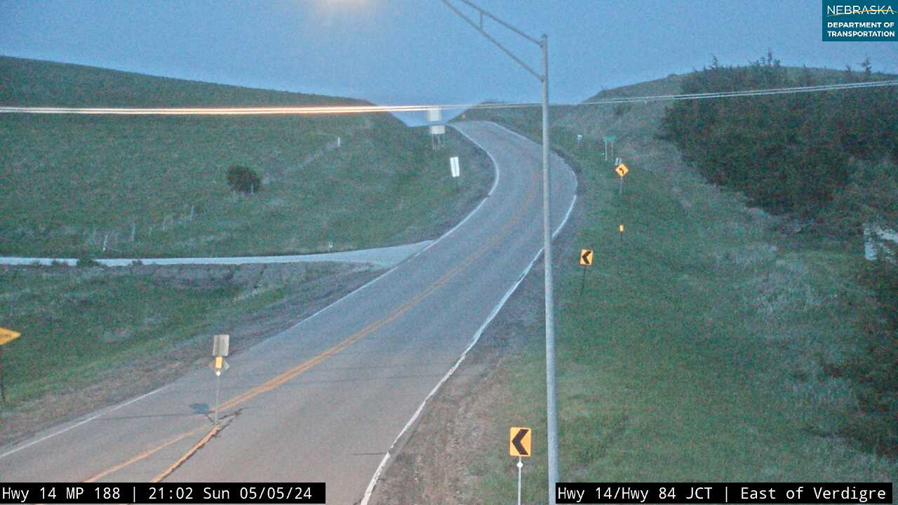
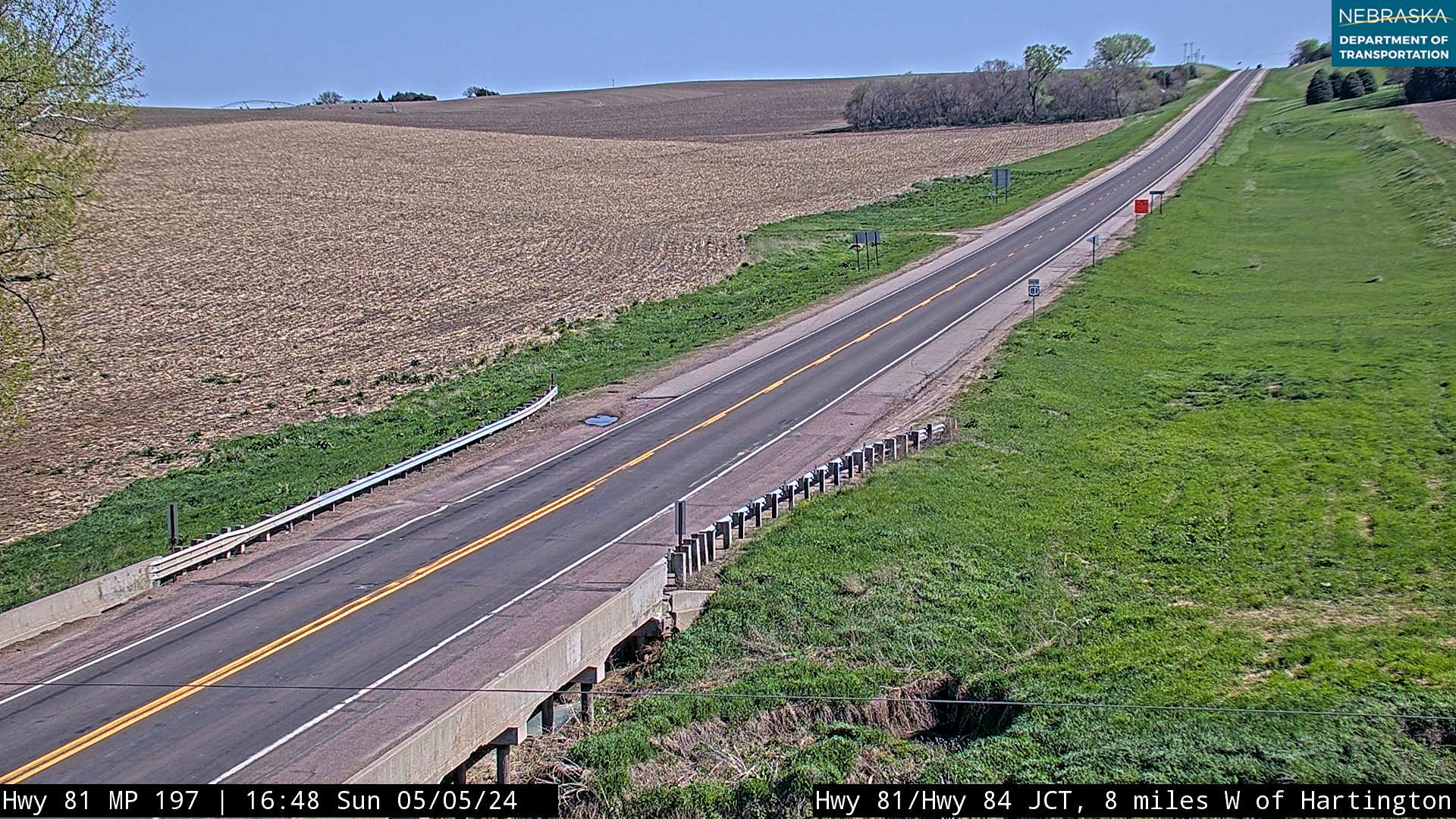
Live cameras. Images from Nebraska 511; click one to open it full size.
Cedar County on Highway 84
Across US 81 to Hartington.
On the road: Hartington (NE 57) · Coleridge (south on NE 57) · Fordyce (north) · Randolph (south on US 81) · Laurel (south on NE 15) · Cedar County Historical Museum · Cedar County Courthouse · Cedar County page
The road enters Cedar County, crosses US 81 and runs into Hartington, the county seat, where it shares about half a mile with Nebraska 57, which leads south to Coleridge. East of town it runs about nine miles to its end at Nebraska 15, which leads south to Laurel and north toward Nebraska 12 and the Missouri River. Lewis and Clark Lake and Gavins Point Dam are about 19 miles north of Hartington.
History along the road. Hartington was platted in 1883 as a railroad water stop, named for Lord Hartington, and became the county seat in 1885, after St. James and St. Helena. The Romanesque Revival Cedar County Courthouse dates from about 1891, and the City Hall and Auditorium, the Carnegie library, the Hartington Hotel and the downtown district are all on the National Register. The Cedar County Historical Museum fills the 1900 Lammers mansion at 304 W. Franklin Street. Hartington recorded 118 degrees on July 17, 1936, tying the state's record high.
Live cameras. Images from Nebraska 511; click one to open it full size.
Nebraska Road Conditions & Highway 84 Travel Tips
Highway 84 is two lanes all the way and hilly between Verdigre and Center. Services are in the towns, so plan fuel stops at Bloomfield or Hartington. Check current conditions before you travel, especially in winter.
RV Travel & Camping Along Highway 84
- Niobrara State Park — north of Verdigre
- Bloomfield City Park Campground — in Bloomfield
- Lewis and Clark State Recreation Area — on Lewis and Clark Lake, north of Bloomfield
- Hartington City Campgrounds — in Hartington
Related Nebraska Travel Corridors
- Highway 14 — at Verdigre
- US Highway 81 — in Cedar County
- Highway 15 — at the east end
- Highway 12, the Outlaw Trail Scenic Byway — to the north
- ← Explore All Nebraska Travel Corridors