
Navigate & Explore Maskell
Get directions to Maskell: Waze → · Google Maps → · Apple Maps →
Nearby businesses: Find businesses within 20 miles of Maskell →
Road conditions: Nebraska 511 — 511.nebraska.gov
Cameras: View Dixon County cameras →
Travel corridors: NE 12 Corridor → · NE 15 Corridor →
Village · Dixon County · Population 58 (2020 census) · ZIP 68751 · Founded 1907 · Peak population 165 (1920)
About Maskell
Maskell is a village of 58 in northwestern Dixon County, where NE 12 and NE 15 run together, 2 miles east of Obert and about 7 miles west of Newcastle. NE 15 turns north east of town to the Vermillion–Newcastle Bridge. Maskell uses the Newcastle post office (ZIP 68751).
History
Maskell was platted in 1907 when the Omaha Road extended its line from Newcastle toward Obert and Wynot. It is named for the Maskell family: John Maskell settled in the area in 1856, and A. H. Maskell was a landowner and county sheriff. The population peaked at 165 in 1920.
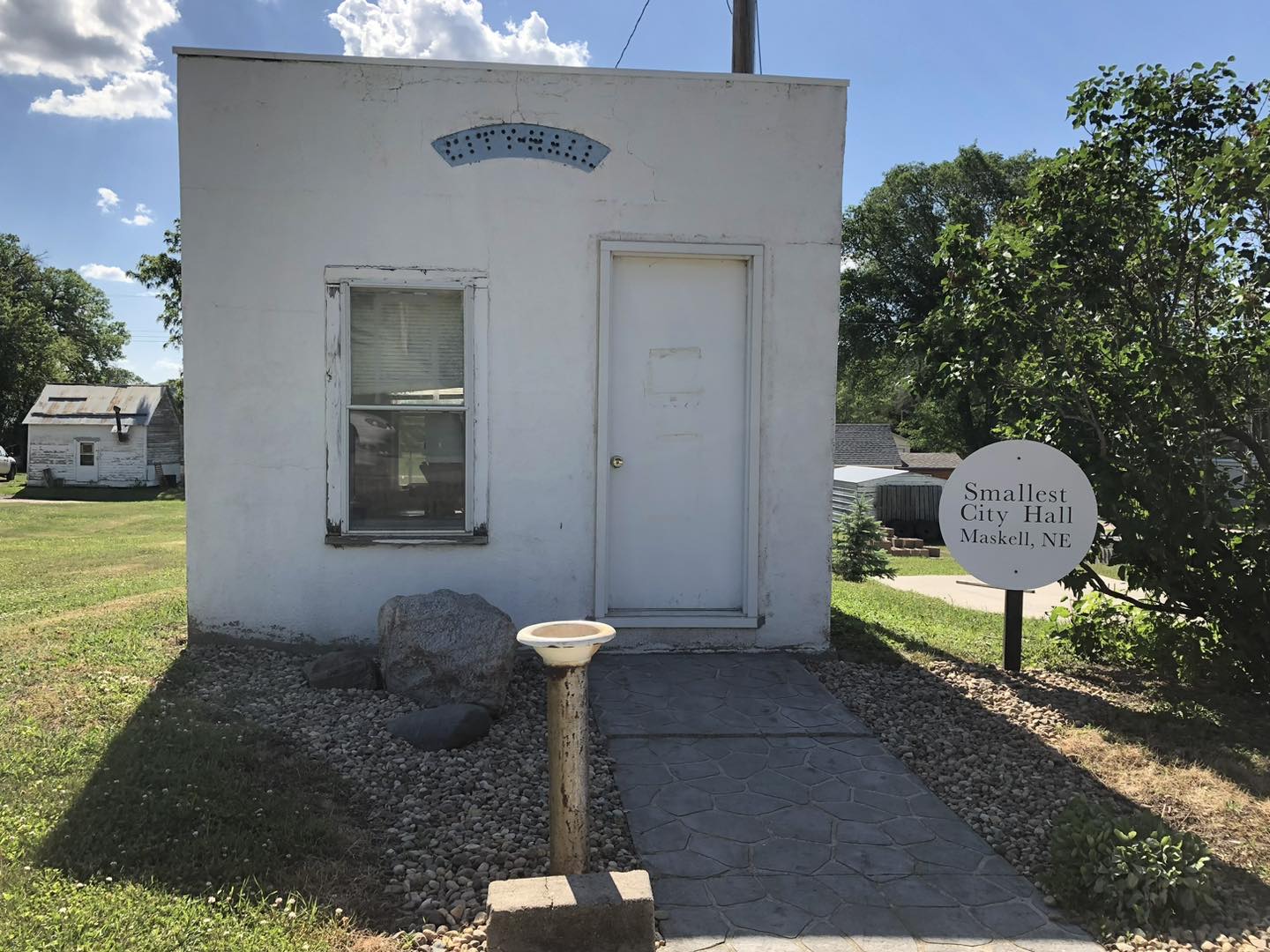
The 10-by-12-foot city hall was built in the 1930s as a Depression-era project to protect the village well. The pump is still in its basement, and it is billed as the smallest city hall in the nation; larger meetings move to the park shelter across the street.
Highways and trails through Maskell
| Route | One way | Other way |
|---|---|---|
| NE 12Runs together with NE 15 past Maskell | West to Obert (2 mi) and Wynot | East to Newcastle (about 7 mi) and Ponca |
| NE 15Turns north east of Maskell | North over the Vermillion–Newcastle Bridge to Vermillion, S.D. (about 9 mi) | West with NE 12, then south to Laurel |
Nearby towns
| Obert | about 2 mi west | NE 12 |
| Lime Grove (former post office) | about 2 mi south-southwest | County roads |
| Newcastle | about 7 mi east | NE 12 |
| Vermillion, South Dakota | about 9 mi north | NE 15 |
| Hartington | about 19 mi southwest | NE 12, NE 15 and NE 84 |
Things to see
Maskell city hall, 111 Main St. · Lime Creek Cemetery · Buckskin Hills WMA · Mulberry Bend WMA · the Lime Grove site, about 2 mi south-southwest
Health care
No clinic; nearest hospital Sanford Vermillion Medical Center, Vermillion, S.D. (about 9 mi)
Sources: U.S. Census; Wikipedia; Andreas, History of the State of Nebraska (1882); Huse, History of Dixon County (1896); National Register of Historic Places; Nebraska Department of Transportation route mileposts. Distances marked "about" are estimates.
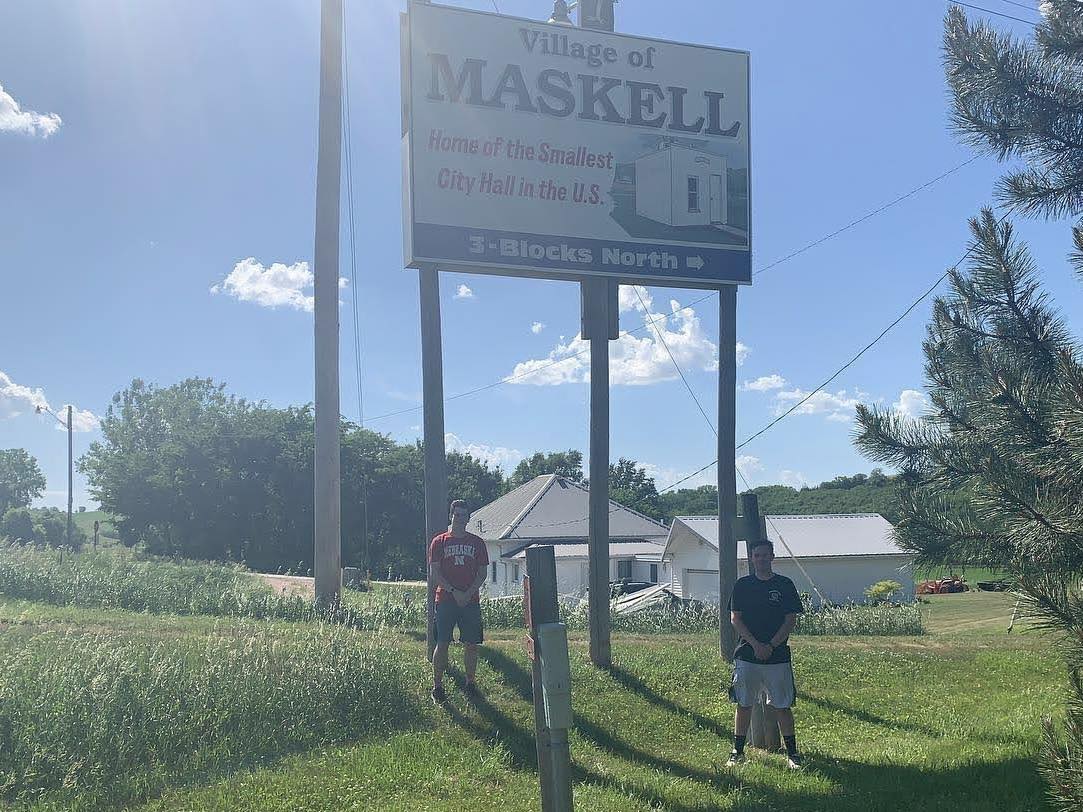
Maskell Nebraska
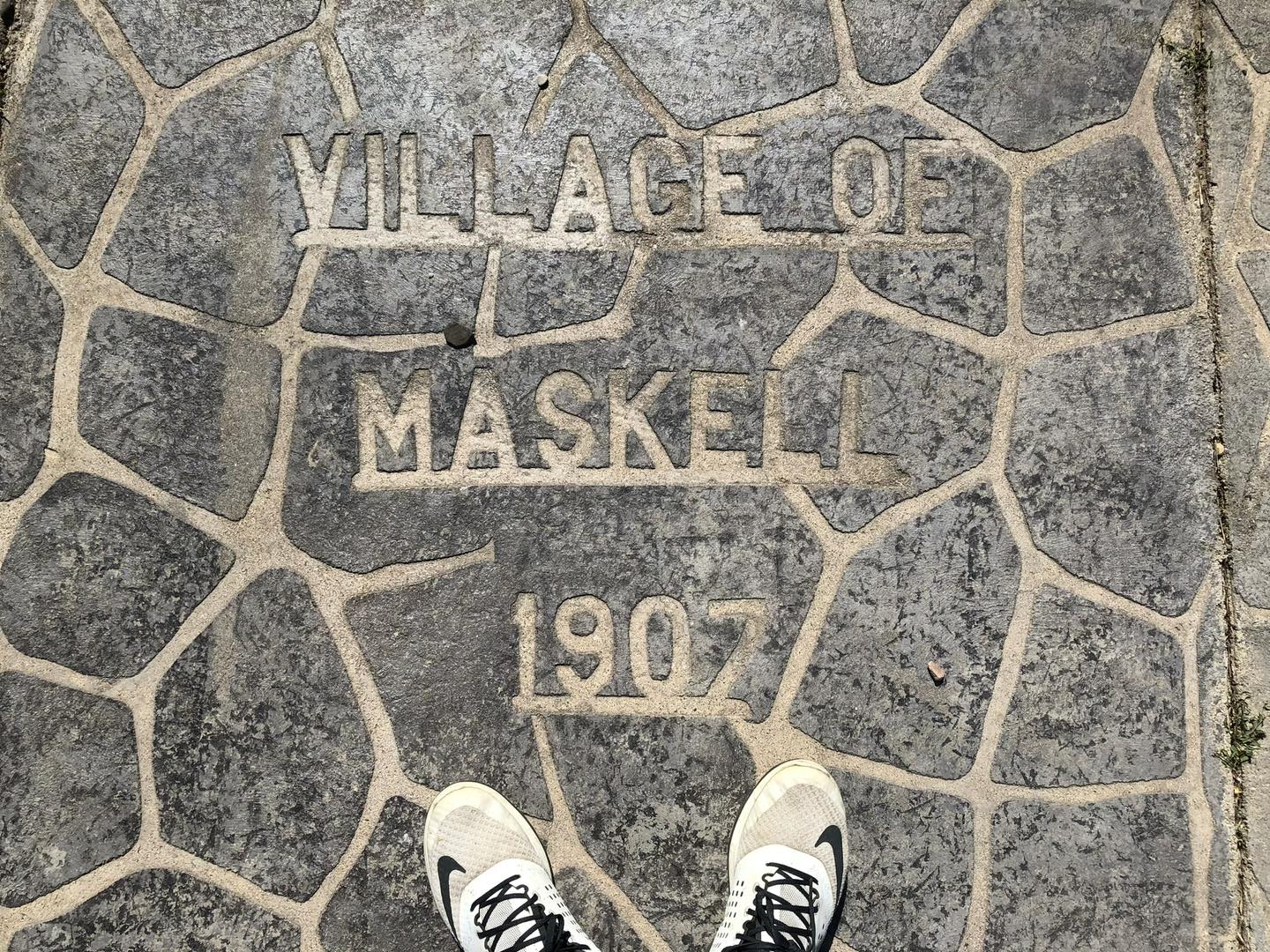
451725535_1032910191786917_8100592655699000409_n
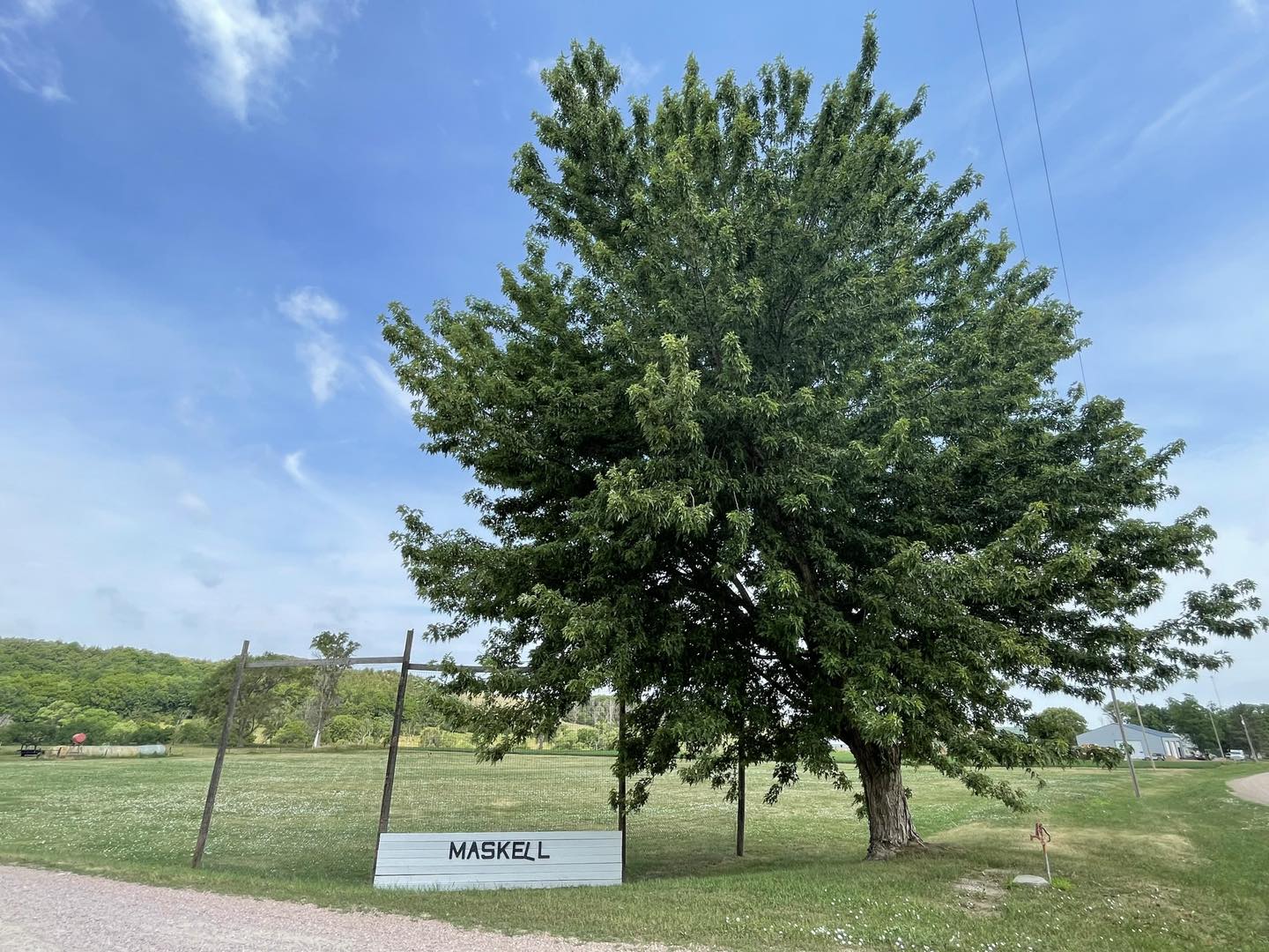
451728509_1032910118453591_8736056549445857123_n
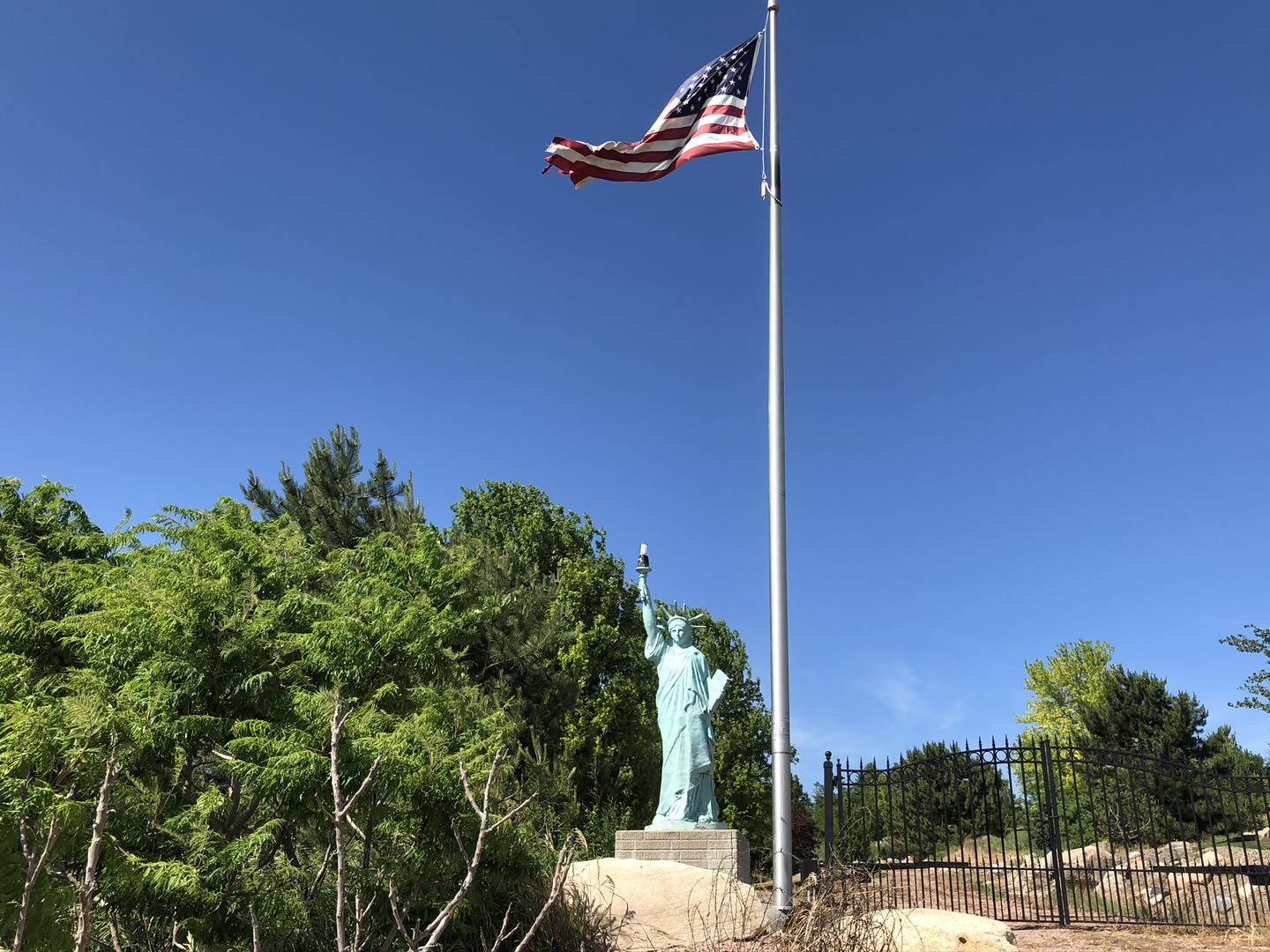
451729242_1032910071786929_5528561650522698360_n
451793007_1032910175120252_6634466765051946634_n
451811414_1032910085120261_9070464651039402300_n
451827060_1032910228453580_3477605621649018559_n
451867389_1032910088453594_5357606769500978212_n
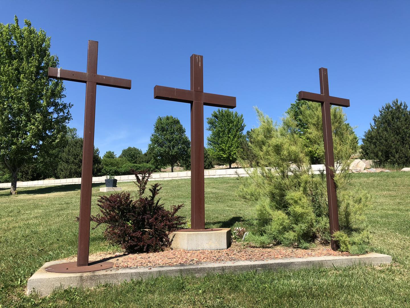
451984663_1032910155120254_9008835857344573582_n
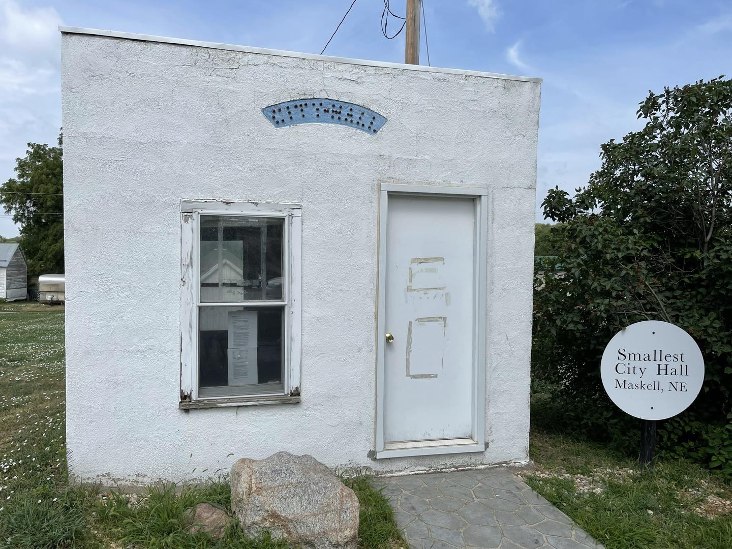
Maskell City Hall
Maskell Businesses & Places
7 listings in Maskell.
Click a category to see the businesses.
Outdoors & Recreation (2)
- Buckskin Hills WMA — Public Hunting Areas & WMAs
- Mulberry Bend WMA — Public Hunting Areas & WMAs
Community & Faith (4)
- Halverson Cemetery — Cemeteries
- Lime Creek Cemetery — Cemeteries
- Lime Grove Cemetery — Cemeteries
- Maskell Cemetery — Cemeteries
Government & Resources (1)
- Maskell Village Office — City Hall