
US Highway 136
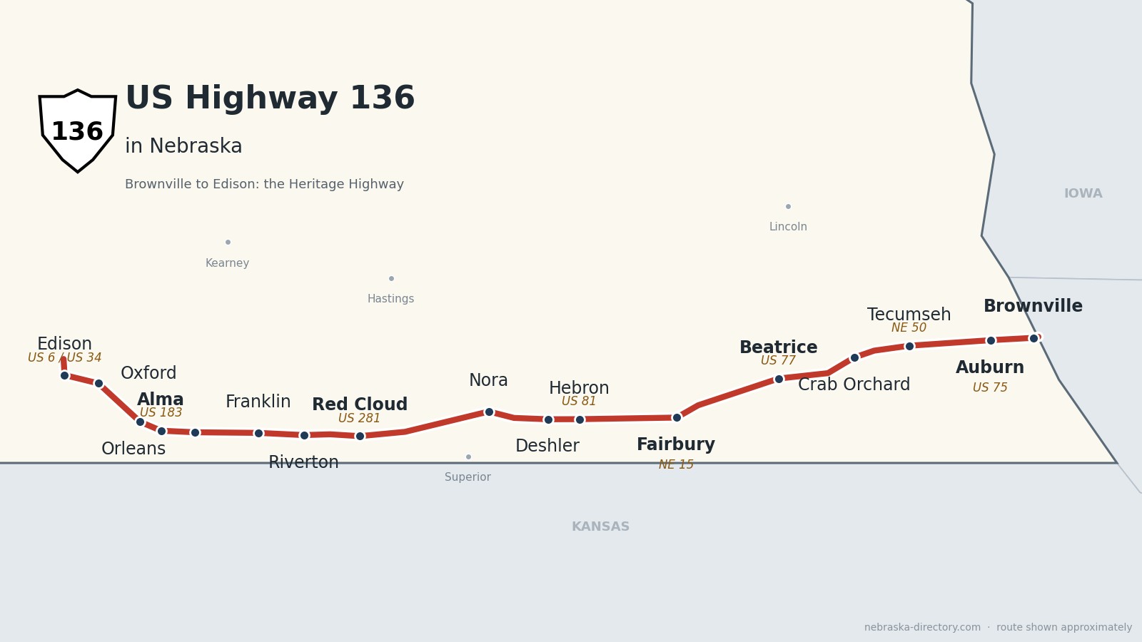
US Highway 136: The Heritage Highway
US Highway 136 runs about 240 miles across the southern edge of Nebraska, from the Missouri River bridge at Brownville west to US 6 and US 34 just north of Edison. Signed as the Heritage Highway, it links a string of courthouse towns—Auburn, Tecumseh, Beatrice, Fairbury, Red Cloud, Franklin and Alma—and follows the Republican River valley through its western half.
Before it was 136.
On a 1924 Nebraska road map, the Goldenrod Highway ran east from McCook through Red Cloud and Fairbury, and the Midwest Highway crossed the state through Fairbury. In 1925 much of today’s route became Nebraska Highway 3, running from Colorado to the Brownville ferry. The ferry gave way in 1939 to the Brownville Bridge, built with New Deal Public Works money; it was a toll bridge for years and is now free, and it is on the National Register of Historic Places.
The US number came late. US 136 was created in 1951 farther east, and in 1960 it was extended west across Nebraska, replacing Highway 3 from Brownville to Edison. The “Heritage Highway” name dates from 1994, and the road became one of Nebraska’s scenic byways in the late 1990s.
The railroads built most of the towns: the Burlington reached Beatrice in 1871, Tecumseh in 1872, Red Cloud and Franklin by 1879, Alma on January 13, 1880, and Calvert—now Auburn—in 1881, while the Rock Island made Fairbury its Western Division headquarters in 1886 and founded Jansen, Deshler and Ruskin along its line.
Begin your journey on the Brownville Bridge and head west—past the Homestead National Historical Park at Beatrice, the Rock Creek Station country around Fairbury and Willa Cather’s Red Cloud, to Harlan County Lake and the Republican valley.
Counties along US 136, east to west: Nemaha · Johnson · Gage · Jefferson · Thayer · Nuckolls · Webster · Franklin · Harlan · Furnas
Nemaha County on US Highway 136
Brownville and the Missouri River.
On the road: Brownville · Auburn (US 75) · Nemaha County page
US 136 enters Nebraska on the Brownville Bridge, runs with Nebraska 67 for a few miles, and reaches Auburn, the county seat, where it crosses US 75. Nebraska 105 shares a short stretch south of Johnson.
History along the road. Richard Brown arrived on August 29, 1854, making Brownville one of Nebraska’s oldest towns; it had Nebraska’s first telegraph office and Robert Furnas’s Nebraska Advertiser, and its historic district is on the National Register. Daniel Freeman filed his famous homestead claim at the Brownville land office on January 1, 1863. The Missouri River dredge Captain Meriwether Lewis, launched in 1931, is now a museum and a National Historic Landmark. Auburn was formed in 1882 when Calvert and Sheridan merged to take the county seat from Brownville.
Johnson County on US Highway 136
Tecumseh and the courthouse square.
On the road: Tecumseh (NE 50) · Vesta · Crab Orchard · Johnson County page
US 136 crosses Nebraska 50 at Tecumseh, the county seat, and continues west past Vesta and Crab Orchard.
History along the road. Tecumseh was incorporated in 1856 as Frances and renamed in 1857 for the Shawnee leader Tecumseh; its courthouse and city hall were both built in 1889. The railroad arrived in 1872, and Crab Orchard grew up on a Burlington line in 1883.
Gage County on US Highway 136
Beatrice and the first homestead.
On the road: Filley · Beatrice (US 77, NE 4) · Gage County page
Near Filley, Nebraska 4 joins US 136 for about ten miles into Beatrice, the county seat, where the road crosses US 77. Just west of town Nebraska 4 splits off toward the Homestead National Historical Park.
History along the road. Beatrice was founded in 1857 and named for Julia Beatrice Kinney. West of town on Nebraska 4, the Homestead National Historical Park marks Daniel Freeman’s claim, one of the first filed under the Homestead Act on January 1, 1863; it was set aside as a national monument in 1936 and renamed in 2021. The Burlington reached Beatrice in 1871.
Jefferson County on US Highway 136
Fairbury and Rock Creek Station.
On the road: Jansen · Fairbury (NE 15) · Jefferson County page
The road runs along the north side of Harbine and Ellis, through Jansen, and into Fairbury, the county seat, where it crosses Nebraska 15.
History along the road. Fairbury was founded in 1869 and named for Fairbury, Illinois; the St. Joseph & Denver City Railroad arrived in 1872, and the Rock Island made it a division headquarters in 1886. South of town, Rock Creek Station was a stage and Pony Express stop from 1857; Wild Bill Hickok killed David McCanles there on July 12, 1861, and Oregon Trail ruts can still be seen.
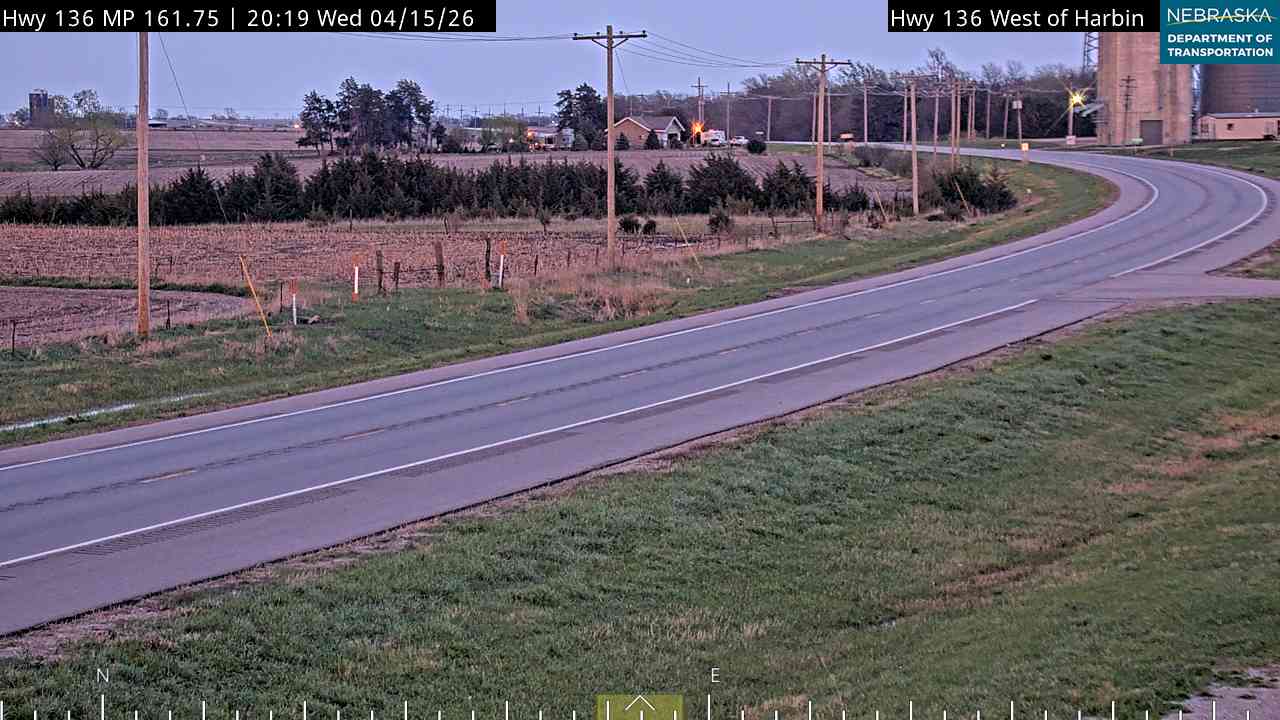
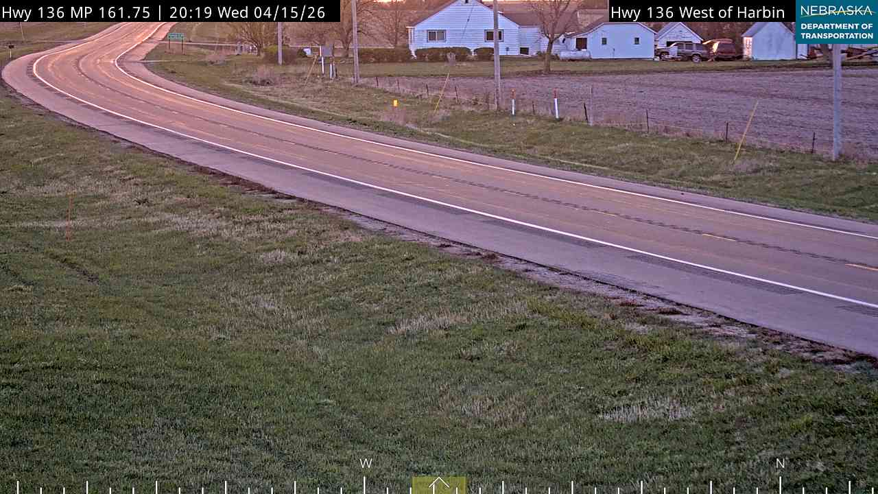
Live cameras. Images from Nebraska 511; click one to open it full size.
Thayer County on US Highway 136
Hebron and the big porch swing.
On the road: Hebron (just north; US 81) · Deshler · Thayer County page
US 136 passes just south of Hebron, the county seat, where it crosses US 81, and goes through Deshler.
History along the road. Hebron was founded about 1869 by a Disciples of Christ colony. Its “World’s Largest Porch Swing,” built in 1985, seats 24 adults in Roosevelt Park. Deshler grew up on the Rock Island line in 1887.
Nuckolls County on US Highway 136
Ruskin, Nora and Superior.
On the road: Ruskin · Nora · Superior (south on NE 14) · Nuckolls County page
The road passes Ruskin and Nora and shares about four miles with Nebraska 14 north of Superior.
History along the road. Ruskin began on the Rock Island in 1887. Superior calls itself the Victorian Capital of Nebraska and holds a Victorian Festival every Memorial Day weekend; Lady Evelyn Brodstone Vestey, who grew up there, is the only member of the nobility buried in Nebraska.
Webster County on US Highway 136
Red Cloud and the Pawnee village.
On the road: Guide Rock (just south) · Red Cloud (US 281) · Inavale · Webster County page
US 136 enters the Republican valley near Guide Rock, crosses US 281 at Red Cloud, the county seat, and runs west through Inavale.
History along the road. On September 25, 1806, Zebulon Pike reached the Republican Pawnee village near Guide Rock and persuaded the Pawnee to take down a Spanish flag and raise the American one. Red Cloud, founded in 1871 and named for the Oglala Lakota leader, was Willa Cather’s childhood home—see our US Highway 281 page for more.
Franklin County on US Highway 136
Riverton and Franklin.
On the road: Riverton · Franklin · Bloomington (just south) · Franklin County page
The road runs up the Republican valley through Riverton and Franklin, the county seat, and passes north of Bloomington and Naponee.
History along the road. The county seat moved from Franklin to Bloomington in 1874 and came back after a vote on November 2, 1920. Franklin Academy taught students from 1881 to 1922; its 1901 Dupee Hall was moved in 2015 to US 136 east of town. The Burlington reached the county in 1879.
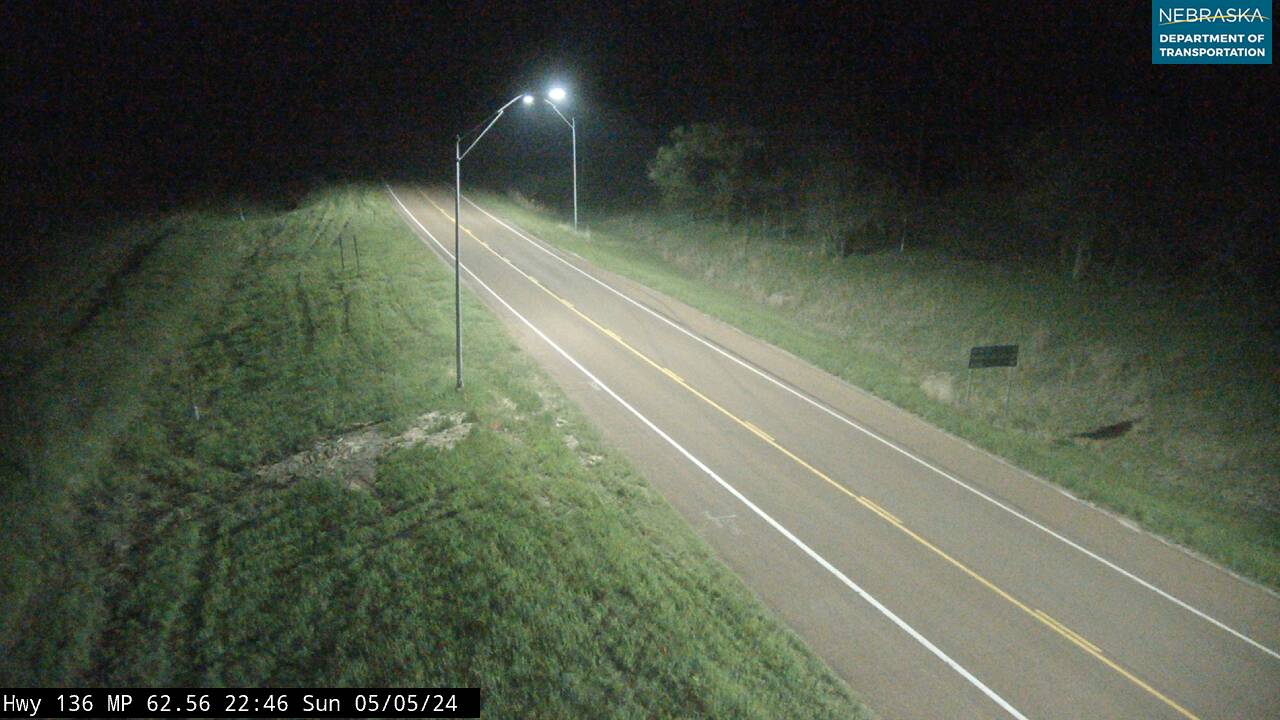
Live cameras. Images from Nebraska 511; click one to open it full size.
Harlan County on US Highway 136
Harlan County Lake, Alma and Orleans.
On the road: Republican City · Alma (US 183) · Orleans · Harlan County page
US 136 passes Republican City and Harlan County Dam, runs with US 183 for about two miles into Alma, the county seat, and continues through Orleans.
History along the road. The Republican River flood of May 31, 1935, killed about a hundred people and struck Republican City, which later moved away from the river. Harlan County Dam, finished in 1952, holds back a 13,250-acre lake, the second largest in Nebraska. Alma has been the county seat since 1871; an 1884 Nebraska Supreme Court ruling settled its contest with Orleans, where homesteaders had arrived in August 1870.
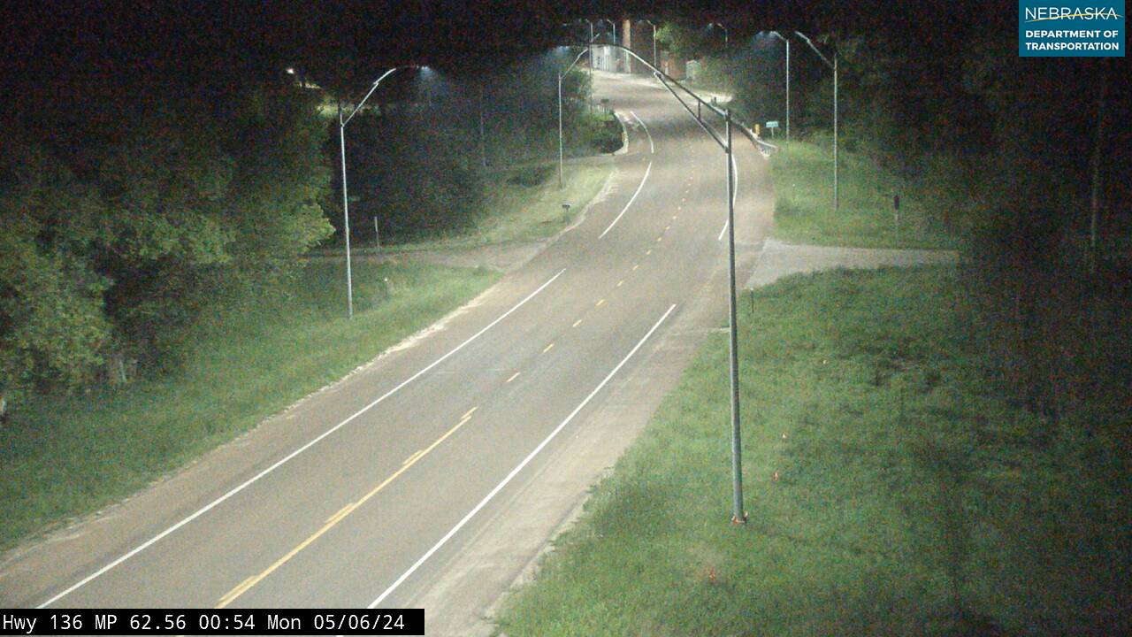
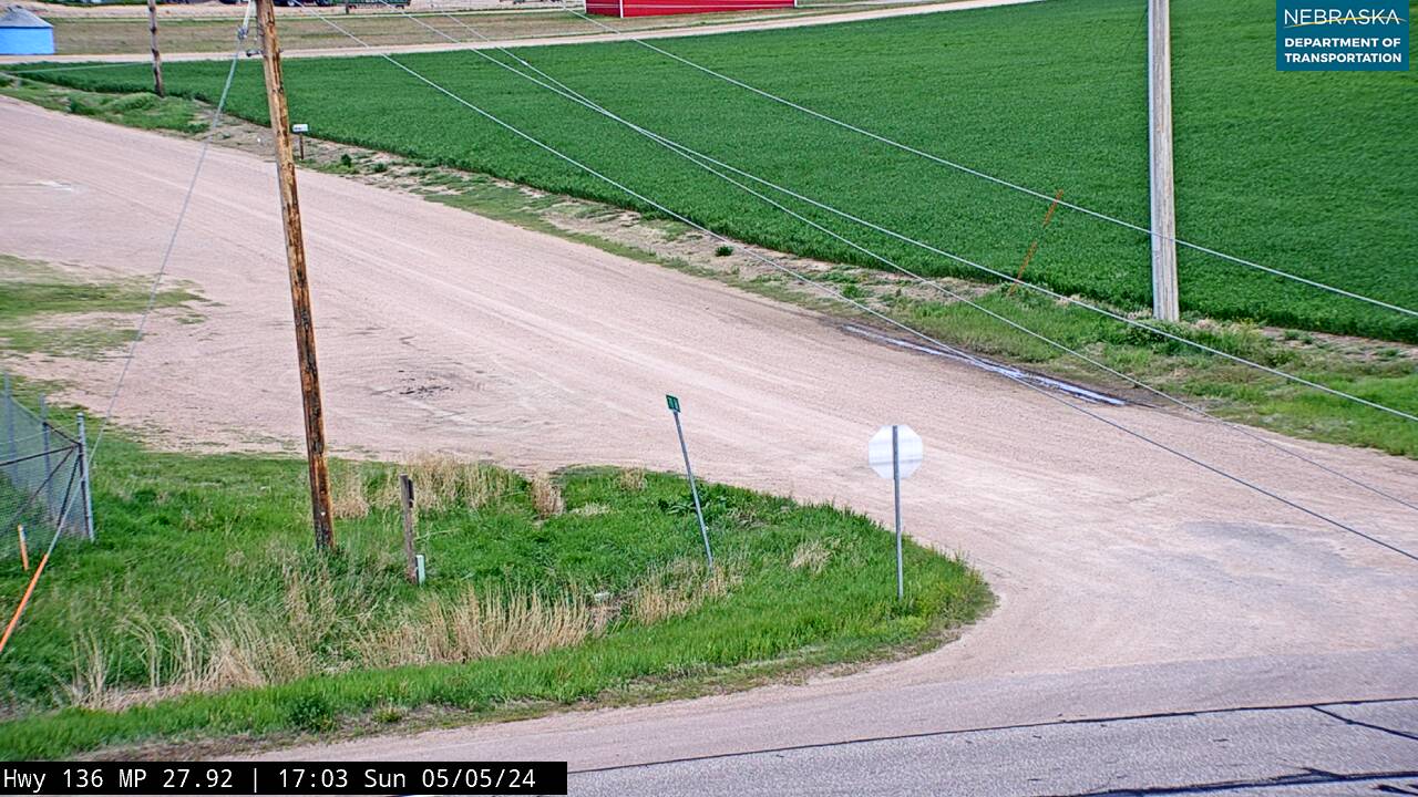
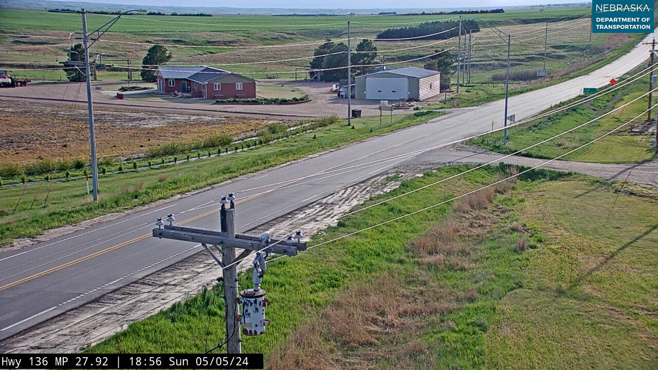
Live cameras. Images from Nebraska 511; click one to open it full size.
Furnas County on US Highway 136
Oxford and Edison, the west end.
On the road: Oxford · Edison · Furnas County page
US 136 goes through Oxford, on the Furnas–Harlan county line, and Edison, and ends just north of Edison at US 6 and US 34.
History along the road. Oxford was founded in 1880 when the railroad was extended to it. Edison’s post office opened the same year and was named for the postmaster’s son, Eddie Rohr. This last stretch, Edison to Oxford, was part of the Omaha-Lincoln-Denver auto road of 1911.
Nebraska Road Conditions & US-136 Travel Tips
US 136 is a two-lane road with a courthouse town every 20 or 30 miles, an easy alternative to the interstate. Check current conditions before you travel, especially in winter.
RV Travel & Camping Along US Highway 136
- Indian Cave State Park — south of Brownville on the Missouri
- Rock Creek Station State Recreation Area — south of Fairbury
- Harlan County Lake — at Republican City and Alma
Related Nebraska Travel Corridors
- US Highway 75 — at Auburn
- Highway 50 — at Tecumseh
- Highway 4 — at Beatrice
- Highway 15 — at Fairbury
- US Highway 81 — at Hebron
- Highway 14 — near Superior
- US Highway 281 — at Red Cloud
- US Highway 183 — at Alma
- US Highway 6 — at Edison
- ← Explore All Nebraska Travel Corridors