
West Point Area Cameras
City · Cuming County · County seat · Population 3,504 (2020 census) · ZIP 68788 · Founded 1857 · Peak population 3,660 (2000)
About West Point
West Point is the county seat of Cuming County, a city of 3,504 on the east bank of the Elkhorn River, where US 275 meets NE 32 and NE 9 begins. It has the Franciscan Healthcare hospital, the Cuming County Courthouse, West Point-Beemer and Guardian Angels Central Catholic schools, the John A. Stahl Library, the Nielsen Community Center, two motels and the Neligh Park campground. The Cuming County Fair is held here each August.
History
The Nebraska Settlement Association formed in Omaha in March 1857, and A. J. Bruner surveyed the townsite that summer. First called New Philadelphia, it was renamed West Point as the westernmost settled point in the Elkhorn Valley. John D. Neligh and the first settlers arrived in March 1858, the post office opened that year, and on October 12, 1858, the county's first election chose West Point over DeWitt as county seat, 12 votes to 7. The Pawnee scare of June 1859 sent most settlers to Fontanelle for a time. The Bruner & Neligh mill on the Elkhorn, finished in 1868, drew trade from 50 miles and more.
West Point incorporated in 1869 and became a city in 1872. The railroad arrived on November 25, 1870, and German settlers made it the center of a largely German county; German-language papers were printed here into the 1910s. A brick courthouse was finished in 1874; the present one at 200 S. Lincoln St. was dedicated on July 21, 1955. The Franciscan Sisters arrived in 1905 and opened the town's first hospital in 1923. Rail service ended in 1982, and the Tyson beef plant closed in 2006. The population peaked at 3,660 in 2000. Minnesota Governor Tim Walz, theologian Martin E. Marty and Karl Timmermann, the first American officer across the Rhine bridge at Remagen in 1945, were born in West Point.
Highways and trails through West Point
| Route | One way | Other way |
|---|---|---|
| US 275Lincoln Street, north–south through town | Northwest to Beemer (about 9 mi), Wisner (about 16 mi) and Norfolk | South to Scribner (about 15 mi) and Fremont (about 36 mi) |
| NE 32Runs with US 275 through town | West past Aloys (about 10 mi) toward Stanton | East to Oakland (about 14 mi) and Tekamah |
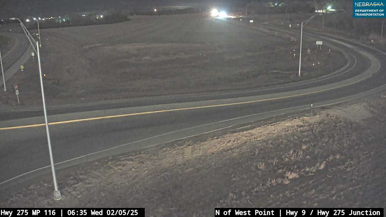
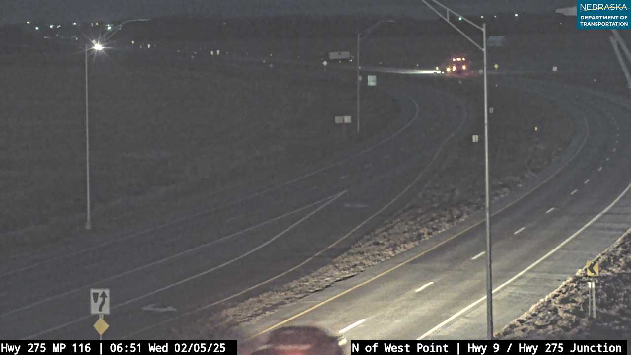
| NE 9Begins at US 275 just north of town | North to NE 51 and Pender (about 19 mi) | Begins at US 275 |
Nearby towns
| Beemer | about 9 mi northwest | US 275 |
| Aloys | about 10 mi west | NE 32 |
| Oakland | about 14 mi east | NE 32 |
| Scribner | about 15 mi south | US 275 |
| Wisner | about 16 mi northwest | US 275 |
| Bancroft | about 19 mi northeast | NE 9 and NE 51 |
| Pender | about 19 mi north | NE 9 |
| St. Charles | about 4 mi southwest | County roads |
| DeWitt | about 5 mi north-northwest | US 275 |
| Monterey | about 6 mi west-southwest | NE 32 and county roads |
Things to see
West Point City Auditorium (Nebraskan Theatre), 237 N. Main St., built 1911 (National Register) · Cuming County Historical Society Museum Complex at the fairgrounds: depot, school, church, tractors and the Big Red Barn (open during the fair and by request; 402-372-3401) · Neligh Park, 530 W. Bridge St.: fishing lake, campground and dog park · the Rattlesnake Creek Bridge (1903, National Register), moved to a West Point trail in 2019 · DeWitt historical marker on US 275, about 4 mi northwest · Cooper's Chase Distillery · Native 32 Winery
Events in West Point
- Cuming County Fair
Cuming County Fair, a county fair in West Point, Nebraska.
Know of another event here? Tell us about it.
Schools and health care
Schools: West Point-Beemer Public Schools: elementary, middle and high school, 1200 E. Washington St.; Guardian Angels Central Catholic (pre-K–12), 419 E. Decatur St.; St. Paul Lutheran School (pre-K–8), 325 N. Colfax St.
Health care: Franciscan Healthcare, 430 N. Monitor St. (25-bed critical access hospital with emergency care); Franciscan Healthcare West Point Clinic, 500 E. Decatur St.
Sources: U.S. Census; Wikipedia; Andreas, History of the State of Nebraska (1882); NEGenWeb Cuming County; History Nebraska; National Register of Historic Places; Nebraska Department of Transportation route mileposts. Distances marked "about" are estimates.
Navigate & Explore West Point
Get directions to West Point: Waze → · Google Maps → · Apple Maps →
Nearby businesses: Find businesses within 20 miles of West Point →
Road conditions: Nebraska 511 — 511.nebraska.gov
Cameras: View Cuming County cameras →
Travel corridors: US 275 Corridor → · NE 32 Corridor →
![History of Nebraska (Third Edition) [Paperback]](https://www.nebraska-directory.com/wp-content/uploads/2013/10/51faY4+Ux3L__SY300_.jpg)
51faY4+Ux3L__SY300_
cropped-hwy20x.jpg
Nebrask Inn
Nebrask Inn
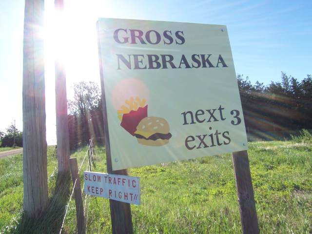
Gross Nebraska Next 3 Exits
Gross Nebraska Next 3 Exits
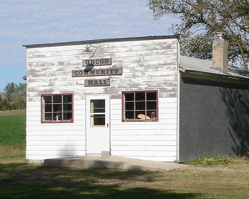
gross hall
West Point Businesses & Places
78 listings in West Point.
Click a category to see the businesses.
Eat & Drink (8)
- China Restaurant — Chinese Restaurant
- Cooper's Chase Distillery — Distillery
- Fiesta Brava — Mexican Restaurant
- McDonald's - West Point (1246 North Lincoln St) — McDonald's
- Native 32 Winery — Winery & Vineyard
- Roadhouse Lounge — Bar
- Runza West Point — Runza
- Subway – 422 S Lincoln St, West Point — Subway
Stay (2)
- Horizon Inn & Suites — Hotel
- West Point Inn & Suites — Motel
Outdoors & Recreation (1)
- Neligh Park — Campgrounds & RV Parks
Places to Visit (1)
- Cuming County Historical Society and Museum Complex — History & Heritage Museums
Events & Venues (4)
- Cuming County Fair — County Fair
- Cuming County Fairgrounds — Fairground
- Nielsen Community Center — Community Center
- West Point City Auditorium (Nebraskan Theatre) — Movie Theater
Health & Emergency (2)
- Franciscan Healthcare — Hospital
- Franciscan Healthcare West Point Clinic — Medical Clinic
Shopping & Gifts (3)
- Countryside Consignments — Thrift & Consignment Store
- Creative Notions — Fabric & Quilt Shop
- St. Joseph's Treasures Thrift Shoppe — Thrift & Consignment Store
Government & Resources (18)
- Cuming County Assessor — County Assessor
- Cuming County Attorney's Office — County Attorney
- Cuming County Clerk — County Clerk
- Cuming County Court — County Court
- Cuming County Courthouse — Court House
- Cuming County Driver License Office — County Driver License
- Cuming County Emergency Management — Emergency Management
- Cuming County Sheriff — County Sheriff
- Cuming County Treasurer — County Treasurer
- Cuming County Veterans Service Office — Veterans Office
- John A Stahl Library — Libraries
- Salvation Army West Point Mobile Food Distribution — Mobile & Pop-Up Food Distribution
- Sunshine Senior Center — Senior Citizen Center
- West Point Chamber of Commerce — Chamber of Commerce
- West Point Firemans Hall — Fire Station
- West Point Police Department — Police Station
- West Point Post Office — Post Office
- West Point USDA Service Center — USDA Service Center (FSA/NRCS)
Community & Faith (12)
- Blomgren Cemetery — Cemeteries
- Church of Christ in West Point — Other Denomination
- Grace Lutheran Church — Lutheran Church
- Mount Hope Cemetery — Cemeteries
- Peterson Pioneer Cemetery — Cemeteries
- Pioneer Cemetery — Cemeteries
- Renewed Life Church — Pentecostal
- Saint Josephs Cemetery — Cemeteries
- Saint Michael Cemetery — Cemeteries
- St. Mary Catholic Church West Point — Catholic Church
- St. Paul Lutheran Church — Lutheran Church
- Trinity UCC / UMC (Federated) — Congregational Church
Agriculture & Farm (7)
- ASC Lockers, LLC — Custom Meat Locker / Processing
- Bomgaars — Bomgaars
- Central Valley Ag West Point — Farm Coop
- Grain States Soya — Grain Elevator / Cooperative
- Prinz Grain & Feed — Grain Elevator / Cooperative
- Quality Pork International — Packing House
- Rush Kubota — Equipment Dealers
Education (6)
- Cuming County Extension — County Extension Office
- Guardian Angels Central Catholic High School West Point — Faith-Based School
- Guardian Angels Elementary School West Point — Faith-Based School
- West Point Elementary School — Elementary & Middle School
- West Point-Beemer Jr Sr High School — High School
- West Point-Beemer Public Schools — School District (K-12 / General)
Automotive (5)
- JR's Used Cars — Used Car Dealer
- Peterson Body & Paint Inc. — Auto Repair
- Renner Auto Repair & Sales — Auto Repair
- West Point Chevrolet — Franchised New Car Dealer
- West Point Ford — Franchised New Car Dealer
Professional Services (3)
- Auten Pruss & Beckman — Accountant
- Best Point Web Design — Web Design
- Oelkers & Associates — Accountant
Utilities (3)
- City of West Point — Water Utility / District
- Cuming County Public Power District — Electric Power Provider
- West Point Municipal Utilities — Electric Power Provider
Media (2)
- KTIC 840 AM and 107.9 FM — Radio Station
- West Point News — News Paper
Land & Property Services (1)
- J & K Tree Service LLC — General Tree Service