
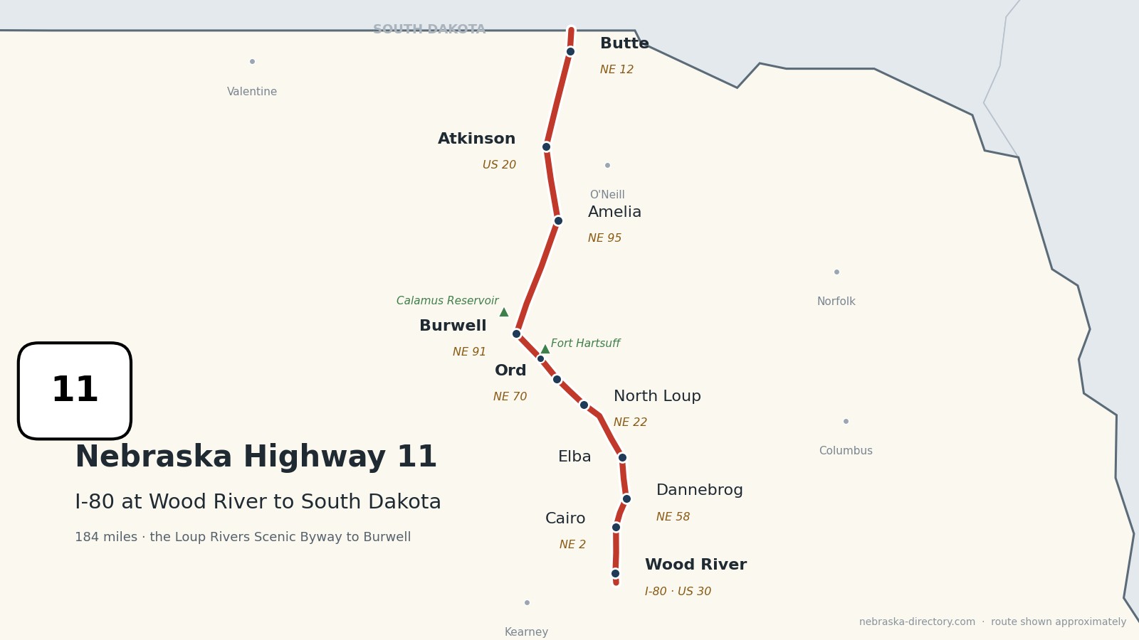
Nebraska Highway 11: Wood River to South Dakota
Nebraska Highway 11 runs about 184 miles north from Interstate 80 at Wood River to the South Dakota line north of Butte. It follows the North Loup River valley through Elba, North Loup and Ord to Burwell, then crosses the Sandhills to Atkinson and Butte. It is one continuous road through seven counties and shares short stretches with Nebraska 58 at Dannebrog, Nebraska 22 near Scotia, Nebraska 70 at Ord, Nebraska 91 at Burwell, US 20 at Atkinson and Nebraska 12 at Butte. From Wood River to Burwell it is part of the Loup Rivers Scenic Byway.
Before it was 11.
Highway 11 has carried its number since 1926. The 1924 named highways mostly crossed it: the Lincoln Highway ran through Wood River along today's US 30, and the Blue Pole Highway probably passed Atkinson along today's US 20. The North and South Pike ran north through Taylor, just west of the corridor. According to one highway history, the first Highway 11 also ran west from Burwell to Taylor; that road is now part of Highway 91.
The railroads made most of the towns. A Union Pacific branch up the Loup valley reached Elba and North Loup in 1882 and Ord in 1886, the Grand Island & Wyoming Central founded Cairo in 1886, and the Burlington reached Burwell in 1887. Wood River moved to its present site in 1874 to be next to the depot.
The Loup Rivers Scenic Byway runs about 150 miles on Highways 11 and 91, from Wood River through Dannebrog, Scotia, Ord, Elyria and Burwell west to Dunning.
Begin your journey at Interstate 80 near Wood River and head north: through Cairo and Danish Dannebrog, up the North Loup valley past Elba, Scotia and Ord to Burwell, then across the Sandhills to Atkinson and Butte and on to the South Dakota line.
Counties along Highway 11, south to north: Hall · Howard · Greeley · Valley · Garfield · Holt · Boyd
Hall County on Highway 11
Wood River and Cairo.
On the road: Wood River (I-80, US 30) · Cairo (NE 2) · Grand Island (east) · Hall County page
Highway 11 begins at Interstate 80 exit 300 south of Wood River, passes over US 30 in Wood River, and runs north to Cairo, where it crosses Nebraska 2.
History along the road. Wood River was first laid out in 1868 and moved to its present site in 1874, after the railroad depot moved. Cairo was founded in 1886 on the Grand Island & Wyoming Central and named for Cairo, Egypt; it calls itself the "Oasis of the Prairie," and many of its streets have Egyptian names.
Live cameras. Images from Nebraska 511; click one to open it full size.
Howard County on Highway 11
Dannebrog and Elba.
On the road: Dannebrog (NE 58) · Elba · Cotesfield (just west) · St. Paul (east on NE 92) · Howard County page
North of Cairo the road shares about five miles with Nebraska 58 into Dannebrog, then runs north to Elba, where it begins to follow the North Loup River. It crosses Nebraska 92 and passes just east of Cotesfield.
History along the road. Dannebrog was founded in 1871 by Danish settlers from Milwaukee and named for the Danish flag; it calls itself the Danish Capital of Nebraska and holds Grundlovsfest each June. Elba, platted in 1882 on the Union Pacific, is the birthplace of Hall of Fame pitcher Grover Cleveland Alexander. Cotesfield had 29 people in 2020, down from 214 in 1920.
Greeley County on Highway 11
Scotia and Happy Jack Peak.
On the road: Scotia (NE 22) · Greeley County page
The road enters Greeley County briefly near Scotia, where it joins Nebraska 22 for about two miles. Happy Jack Peak and Chalk Mine, on Highway 11, is billed as the only room-and-pillar chalk mine in North America open to the public; it is open from Memorial Day to Labor Day.
History along the road. Scotia was founded in the 1870s, took its name from a poetic word for Scotland, and was the first Greeley County seat. Its Chalk Building, made of local chalk, is on the National Register of Historic Places, and chalk was mined at Happy Jack from 1877 into the 1950s.
Valley County on Highway 11
North Loup, Ord and Elyria.
On the road: North Loup (NE 22) · Ord (NE 70) · Elyria · Fort Hartsuff State Historical Park (3 miles north of Elyria) · Valley County page
Highway 11 runs through North Loup and up the valley to Ord, the county seat, where it shares less than a mile with Nebraska 70, and on to Elyria. Davis Creek Recreation Area is about five and a half miles south of North Loup, and Fort Hartsuff is three miles north of Elyria.
History along the road. North Loup was scouted in 1871 by Seventh Day Baptists from Wisconsin and has held Popcorn Days since 1901. Ord was platted in 1874, named for General Edward O. C. Ord, and reached by the railroad from Grand Island in 1886. Fort Hartsuff was an infantry post from 1874 to 1881; its buildings were made of a concrete of local lime, sand and gravel, and it became a state park in 1961.
Garfield County on Highway 11
Burwell and Calamus Reservoir.
On the road: Burwell (NE 91) · Calamus Reservoir State Recreation Area (northwest on NE 96) · Garfield County page
Highway 11 crosses the North Loup into Burwell, the county seat, and shares two miles with Nebraska 91 through town. Calamus Reservoir, behind the Virginia Smith Dam, is about five miles northwest by way of Nebraska 96. North of Burwell the road leaves the river valleys and heads into the Sandhills.
History along the road. Burwell was platted in 1883 and reached by the Burlington in 1887. Its rodeo, "Nebraska's Big Rodeo," dates from 1922 and is held the last weekend of July. The old Highway 11 bridge over the North Loup washed out in a flood on June 25, 1939, and was replaced in 1940.
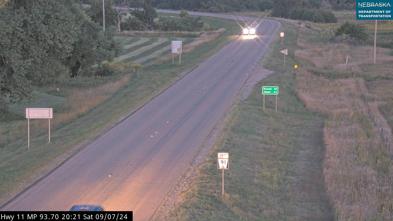
Live cameras. Images from Nebraska 511; click one to open it full size.
Holt County on Highway 11
Amelia and Atkinson.
On the road: Amelia · Chambers (east on NE 95) · Atkinson (US 20) · O'Neill (east on US 20) · Holt County page
The road crosses about 55 miles of Sandhills to Amelia, where Nebraska 95 heads east to Chambers, and on to Atkinson, where it shares half a mile with US 20. The Cowboy Trail passes through Atkinson.
History along the road. Atkinson was platted in 1880 and named for Colonel John Atkinson, one of the town site's owners, and it holds Hay Days each August. The Sturdevant-McKee Museum is in an 1887 house, and Mill Race Park lies along the Elkhorn River.
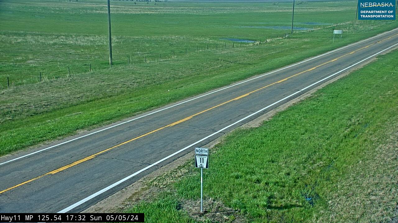
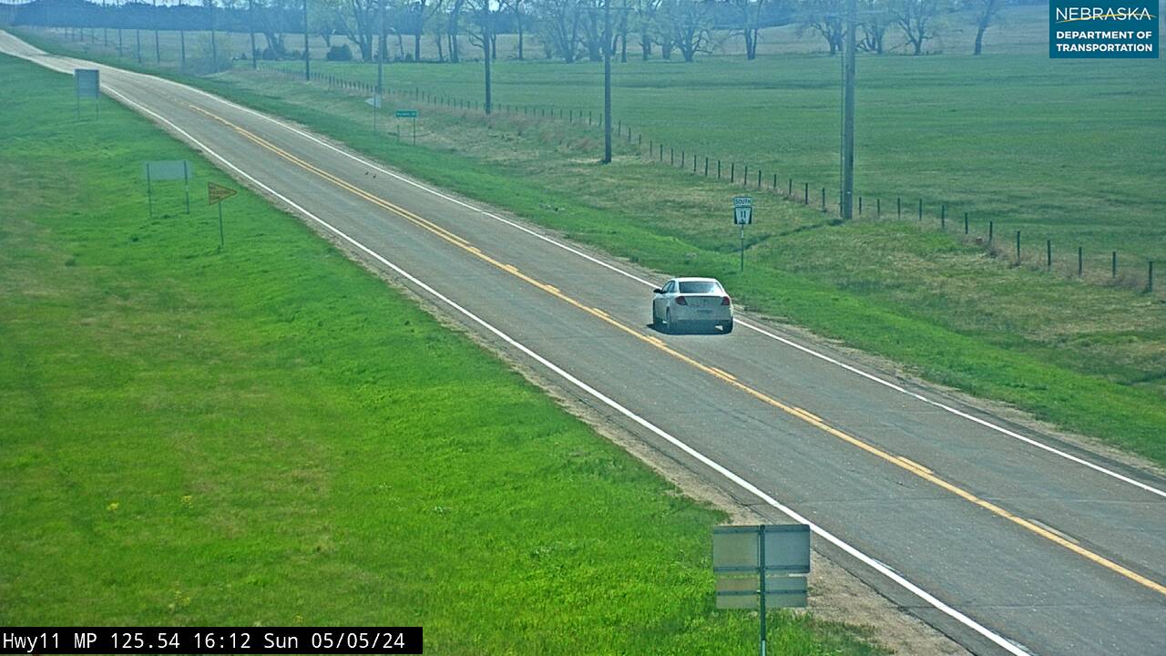
Live cameras. Images from Nebraska 511; click one to open it full size.
Boyd County on Highway 11
Butte and the South Dakota line.
On the road: Butte (NE 12) · Spencer (east on NE 12) · Boyd County page
North of Atkinson, Highway 11 crosses the Niobrara River south of Butte, shares a mile with Nebraska 12 through Butte, the county seat, and reaches the South Dakota line, where it continues as SD 43.
History along the road. Butte is named for small buttes nearby, and the wrestler Gorgeous George was born there in 1915. In 2019 an ice jam pushed Highway 11's Niobrara River bridge south of Butte 18 inches downstream; NDOT repaired it for about $8 million, and in 2025 the road from Brush Creek to the Niobrara was resurfaced.
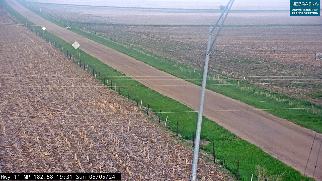
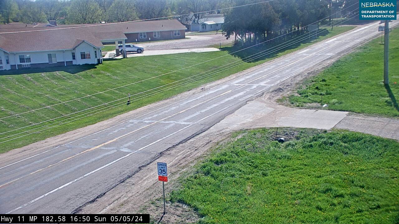
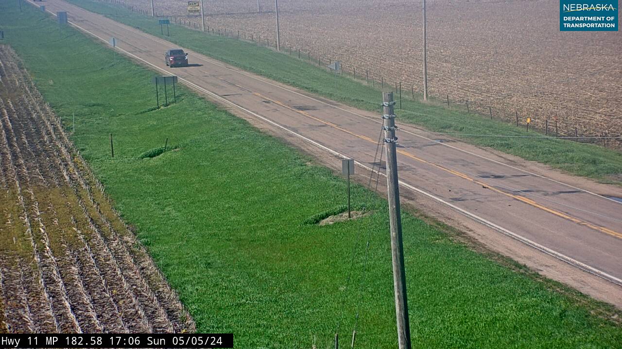
Live cameras. Images from Nebraska 511; click one to open it full size.
Nebraska Road Conditions & Highway 11 Travel Tips
Highway 11 is two lanes all the way. North of Burwell it crosses about 55 miles of Sandhills with few services before Atkinson, so fill up in Burwell. Check current conditions before you travel, especially in winter.
RV Travel & Camping Along Highway 11
- Davis Creek Recreation Area — south of North Loup
- Calamus Reservoir State Recreation Area — northwest of Burwell
- Mill Race Park — at Atkinson
Related Nebraska Travel Corridors
- Interstate 80 and US Highway 30 — at Wood River
- Highway 2 — at Cairo
- Highway 92 — in Howard County
- Highway 91 — at Burwell
- US Highway 20 — at Atkinson
- Highway 12 — at Butte
- ← Explore All Nebraska Travel Corridors