
Nebraska Highway 44: Wilcox to Kearney
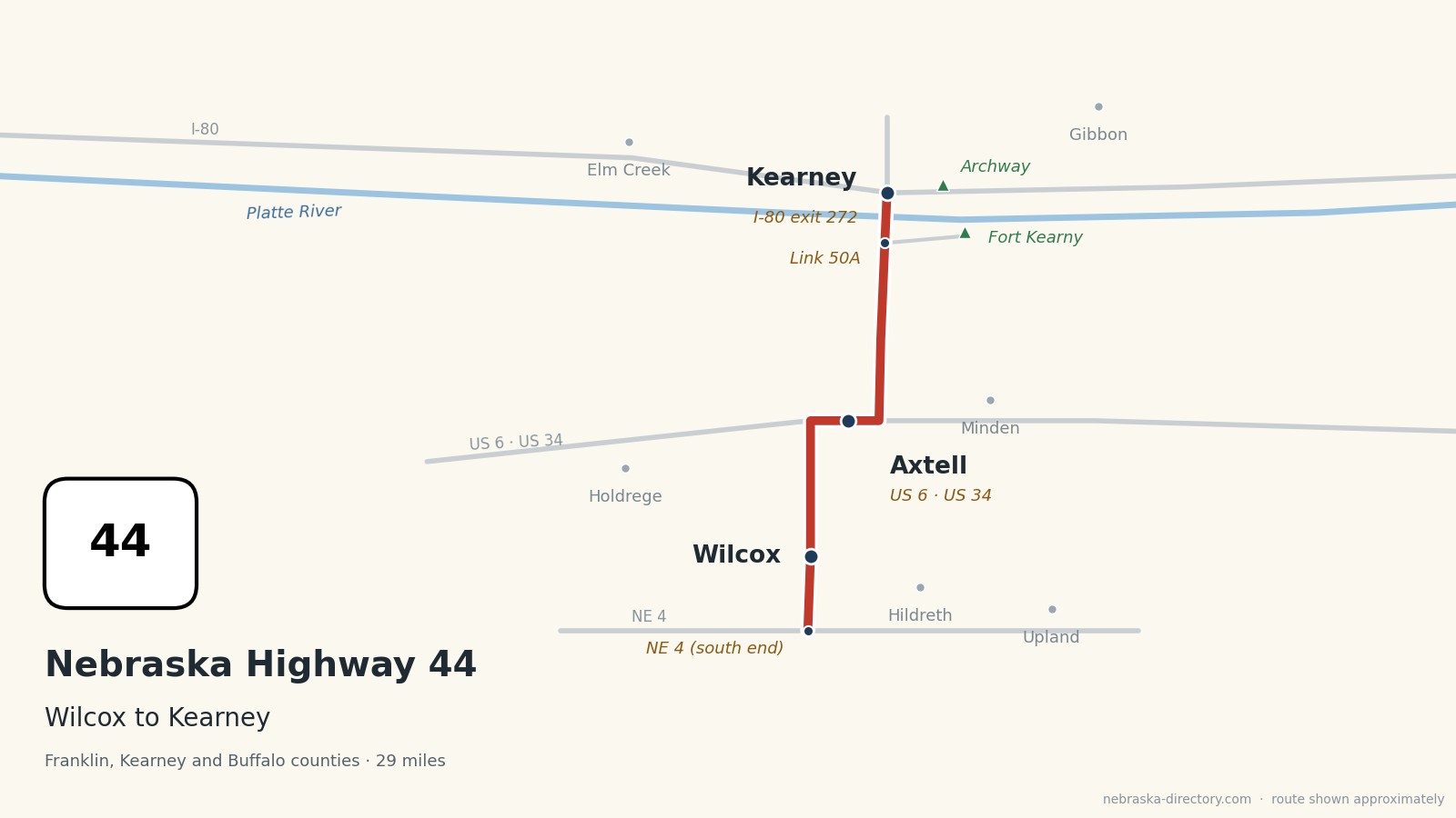
Nebraska Highway 44 is a short south–north road, about 29 miles long, from Nebraska 4 south of Wilcox to I-80 at exit 272 on the south edge of Kearney. It runs north through Wilcox, shares about four miles with US 6 and US 34 through Axtell, passes the road to Fort Kearny, crosses the Platte River and ends at the interstate; Second Avenue carries on north into Kearney. It is one continuous road through Franklin, Kearney and Buffalo counties.
Before it was 44.
Highway 44 is one of Nebraska's original state highways, numbered in 1926. It once continued up Second Avenue to US 30 in Kearney, which is why some sources still give its length as 31.5 miles; today it ends at I-80. On Nebraska's 1924 list of named highways, the North and South Pike ran from Franklin north through Kearney, the Lincoln Highway, today's US 30, passed through Kearney, and the Detroit–Lincoln–Denver Highway, later US 6, passed through Minden.
Long before the highways, the Oregon Trail followed the Platte. Fort Kearny, built in 1848 on the south side of the river and named for Gen. Stephen Watts Kearny, guarded the trail, served as a Pony Express station in 1860–61, and was abandoned in 1871.
The railroads made the towns. The Union Pacific reached the Kearney area in 1866 and the Burlington & Missouri River met it in 1871, when Kearney was laid out. The Burlington built through Axtell and Wilcox in the 1880s; Axtell was incorporated in 1885.
Begin your journey at Nebraska 4 and head north: through Wilcox, along US 6 through Axtell, past the turnoff to Fort Kearny, and across the Platte to Kearney.
Counties along Highway 44, south to north: Franklin · Kearney · Buffalo
Franklin County on Highway 44
The south end.
On the road: Hildreth (east on NE 4) · Upland (east) · Franklin County page
Highway 44 begins at Nebraska 4 in Franklin County and heads straight north toward Wilcox. Hildreth is about seven miles east on Nebraska 4.
History along the road. In 1924 the North and South Pike, a named auto trail, ran from the town of Franklin north to Kearney. Whether it followed this road through Wilcox and Axtell or today's Nebraska 10 through Minden is not known.
Kearney County on Highway 44
Wilcox, Axtell and Fort Kearny.
On the road: Wilcox · Axtell (US 6, US 34) · Minden (east on US 6) · Holdrege (west on US 6) · Fort Kearny State Recreation Area · Harold Warp Pioneer Village · Kearney County page
The road runs north through Wilcox, turns east onto US 6 and US 34 west of Axtell, shares about four miles with them through town, and turns north again toward the Platte. Minden, the county seat, is east on US 6, with Harold Warp Pioneer Village and the Kearney County Historical Museum; Holdrege and the Nebraska Prairie Museum are west. North of Axtell, Link 50A leads about four miles east to Fort Kearny State Historical Park and the Fort Kearny State Recreation Area, whose hike-bike trail bridge over the Platte is a favorite place to watch sandhill cranes in March and early April.
History along the road. Wilcox was founded in the 1880s when the Burlington & Missouri River Railroad came through and was named for its founder, Henry Wilcox; it had about 330 people in 2020. Axtell, incorporated in 1885 when the same railroad arrived, calls itself the Windmill City and is home to Mosaic's Bethphage Village, founded in 1913; it had 732 people in 2020. Harold Warp Pioneer Village in Minden opened in 1953 and fills 28 buildings with some 50,000 items.
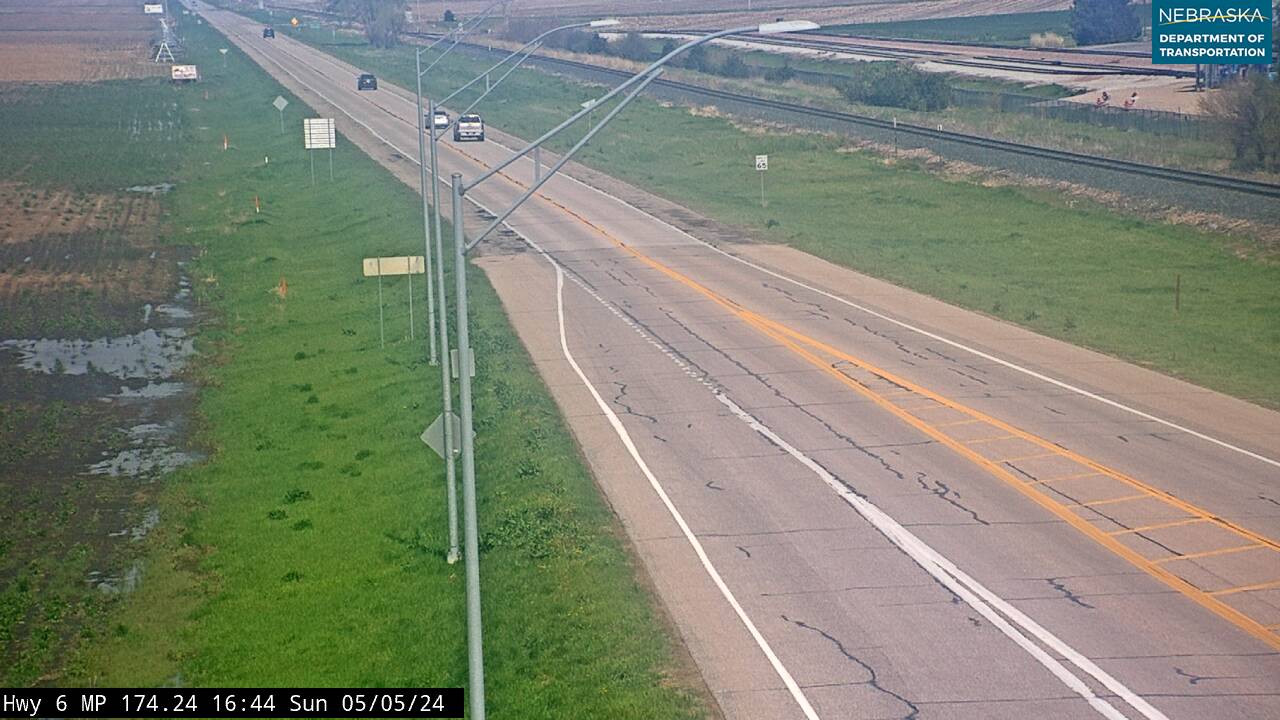
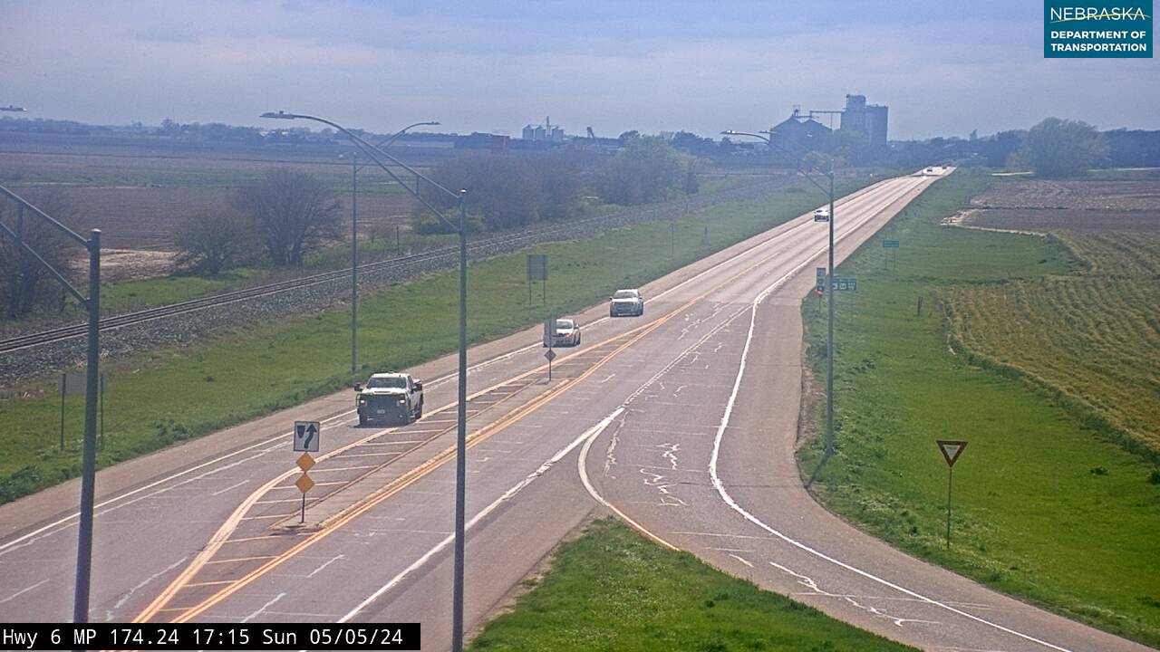
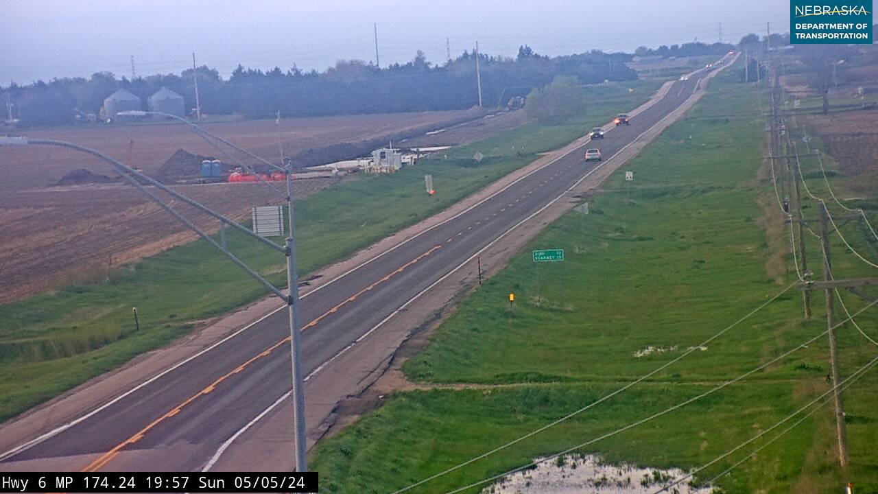
Live cameras. Images from Nebraska 511; click one to open it full size.
Buffalo County on Highway 44
Across the Platte to Kearney.
On the road: Kearney (I-80, US 30) · Gibbon (east) · Elm Creek (west) · The Archway · Museum of Nebraska Art · The American Automobile Experience · G.W. Frank Museum · Trails and Rails Museum · Buffalo County page
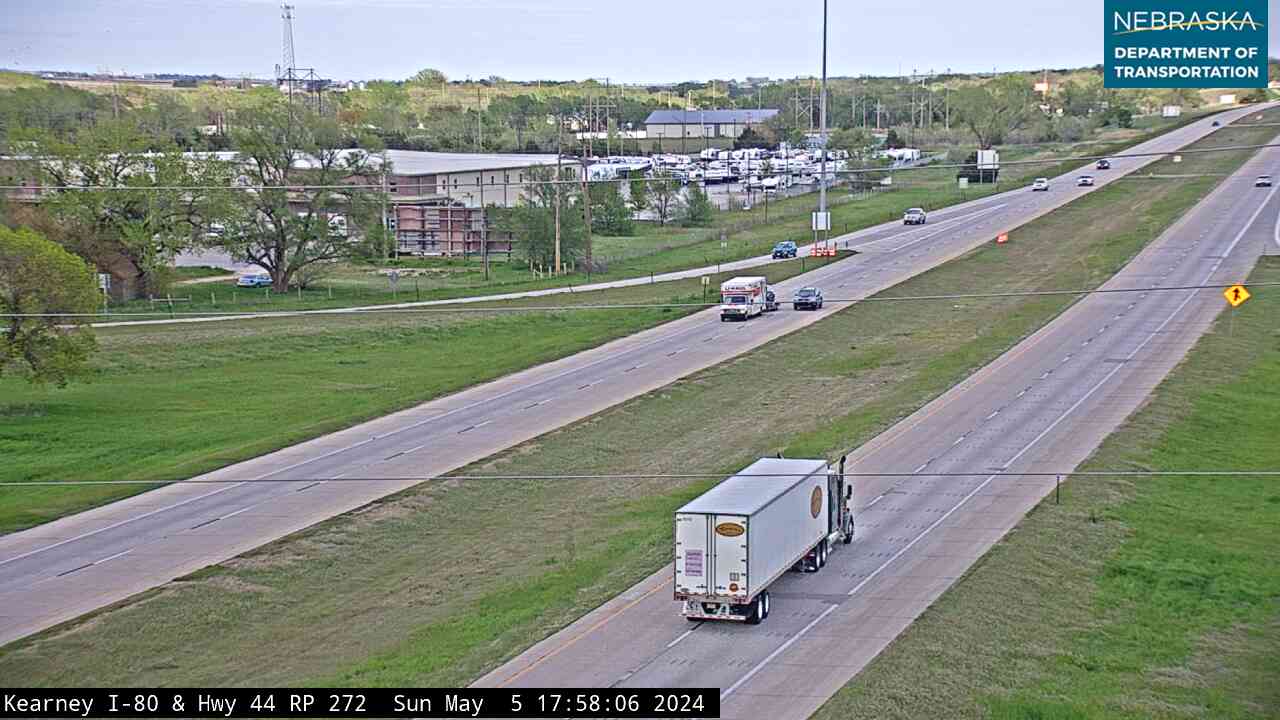
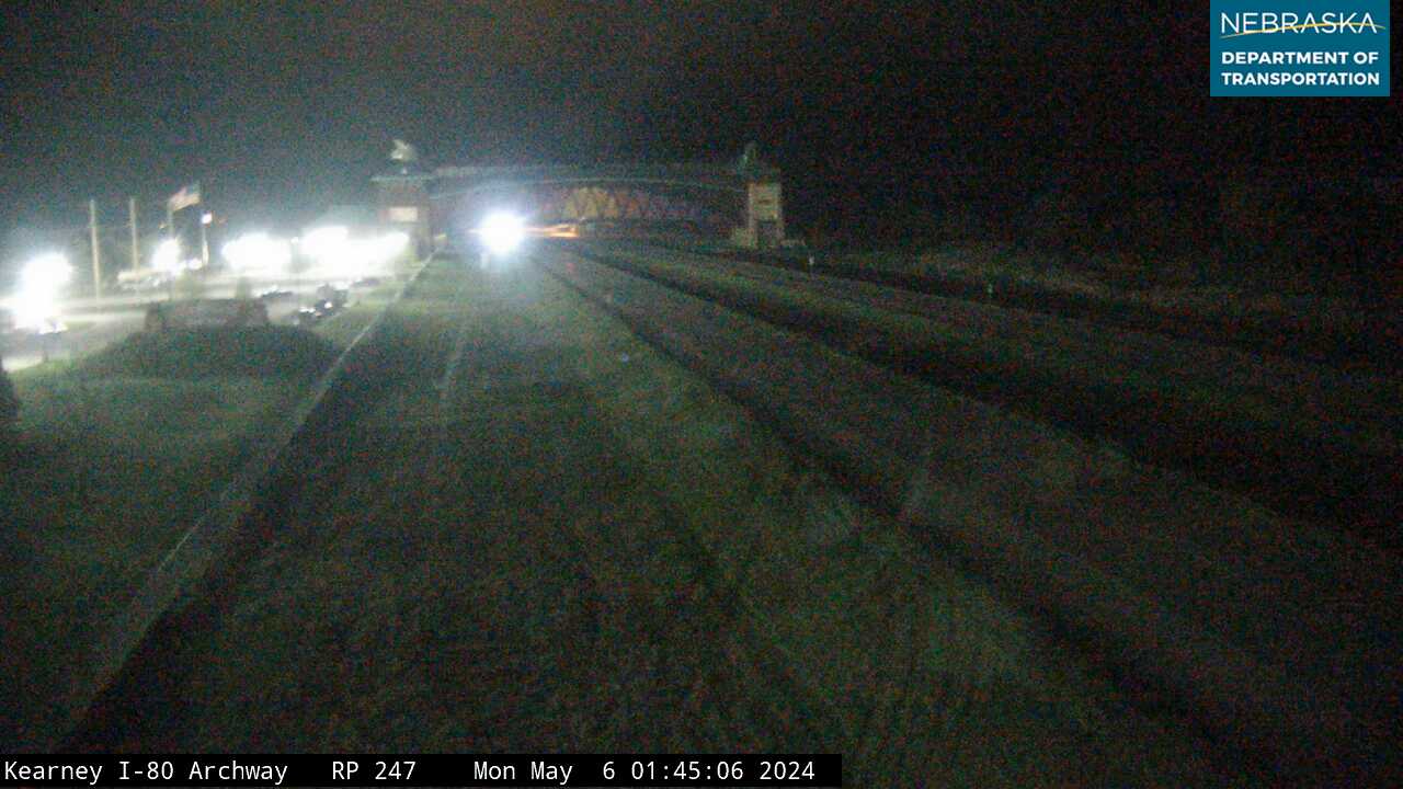
Highway 44 crosses the channels of the Platte as a divided road and ends at I-80, exit 272, on the south edge of Kearney. Second Avenue continues north into town and crosses US 30, the old Lincoln Highway. The Great Platte River Road Archway spans I-80 about three miles east of the exit. In town are the Museum of Nebraska Art, the state's official art museum, which reopened in May 2025 after an addition; the American Automobile Experience, formerly the Classic Car Collection; the 1890 G.W. Frank Museum; and the Trails and Rails Museum. Rowe Sanctuary, Audubon's crane-viewing center on the Platte near Gibbon, is about 20 minutes east.
History along the road. Kearney grew where the Union Pacific and the Burlington met and took its name from Fort Kearny; the extra "e" came from a postal misspelling. It was incorporated in 1873, has been the county seat since 1874, is home to the University of Nebraska at Kearney, and had 33,790 people in 2020. The city has promoted itself since at least 1890 as 1,733 miles from both Boston and San Francisco. The Archway opened over I-80 on July 16, 2000.
Live cameras. Images from Nebraska 511; click one to open it full size.
Nebraska Road Conditions & Highway 44 Travel Tips
Highway 44 is two lanes from Nebraska 4 to the Platte and a divided road across the river to I-80. In March and early April, crane watchers crowd the roads near the river at sunrise and sunset; pull completely off the road before you stop to watch. Check current conditions before you travel, especially in winter.
RV Travel & Camping Along Highway 44
- Fort Kearny State Recreation Area — east of the highway on Link 50A
- Kearney RV Park & Campground — in Kearney
- Harold Warp Pioneer Village Campground — in Minden
Related Nebraska Travel Corridors
- Highway 4 — at the south end
- US Highway 6 — at Axtell
- Interstate 80 and US Highway 30 — at Kearney
- US Highway 183 — west at Holdrege
- ← Explore All Nebraska Travel Corridors