
🍴 Eat · 🛏 Stay · 🏥 Health · All Listings →
Wee Town Area Cameras
Navigate & Explore Wee Town
Get directions to Wee Town: Waze → · Google Maps → · Apple Maps →
Nearby businesses: Find businesses within 20 miles of Wee Town →
Road conditions: Nebraska 511 — 511.nebraska.gov
Cameras: View Pierce County cameras →
Travel corridor: US 81 Corridor →
Unincorporated community · Pierce County · highway stop, 1940s–1970s
About Wee Town
Wee Town is an unincorporated place on US 81 in eastern Pierce County, about 5 miles east of Pierce and 7 miles north of Hadar. Its businesses have been closed for years.
History
Wee Town was a stop for travelers on US 81 from the 1940s to the 1970s. It never had more than about 50 people; a service station, a tavern and a cafe were its businesses.
Highways and trails through Wee Town
| Route | One way | Other way |
|---|---|---|
| US 81North–south past the site | North toward US 20 | South to Norfolk |
Nearby towns
| Pierce | about 5 mi west | County roads |
| Hadar | about 7 mi south | US 81 |
| Hoskins | about 9 mi southeast | County roads |
| Norfolk | about 12 mi south | US 81 |
![History of Nebraska (Third Edition) [Paperback]](https://www.nebraska-directory.com/wp-content/uploads/2013/10/51faY4+Ux3L__SY300_.jpg)
51faY4+Ux3L__SY300_
cropped-hwy20x.jpg

Nebrask Inn
Nebrask Inn
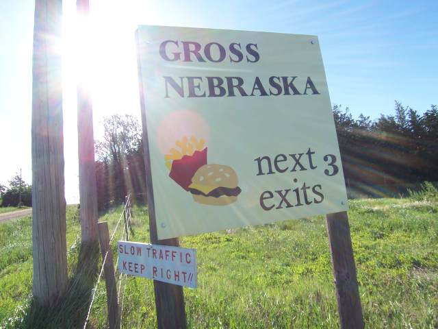
Gross Nebraska Next 3 Exits
Gross Nebraska Next 3 Exits
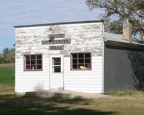
gross hall
Wee Town Businesses & Places
No listings in Wee Town yet.