
Village · Wheeler County · County seat · Population 109 (2020 census) · ZIP 68622 · Founded 1885 · Peak population 176 (1940)
About Bartlett
Bartlett is a village of 109 (2020) and the seat of Wheeler County, at about 2,182 feet on US 281 in the Beaver Valley country where the Sandhills give way to farm ground. NE 70 runs with US 281 through town for about 14 miles before turning east toward Elgin north of town. Bartlett has the county courthouse, Wheeler Central Schools (the county's school district, which also serves Ericson), a post office, a bank, a cafe and the fairgrounds, but no clinic; the nearest hospitals are in Ord, Neligh, Albion and O'Neill, about 27 to 40 miles away. Bartlett is on Central Time.
History
Bartlett was laid out about 1885 on Ezra Bartlett Mitchell's homestead, with nine blocks and the center block saved for a courthouse, and named for his middle name. Cedar City on the Cedar River had been the temporary county seat since 1881, and Cumminsville to the north had grown fast on hopes of a railroad up the Beaver Valley; after several elections that fell short of the three-fifths then required, Bartlett won the seat in 1885–86 (sources differ) with 193 votes to Cumminsville's 90. No railroad ever reached Bartlett. The 1888 frame courthouse burned on August 29, 1917; its replacement of 1918, designed by Sidney H. Foster of Gordon, is the only known Nebraska courthouse with Mission Revival elements and is on the National Register. The county built a new courthouse into the hillside beside it in 1980–82. The population peaked at 176 in 1940. Sculptor Herb Mignery grew up on a ranch just east of town, and since 2002 his bronzes have filled the courthouse lawn.
Highways and trails through Bartlett
| Route | One way | Other way |
|---|---|---|
| US 281North–south through town; NE 70 shares it for about 14 miles | North to O'Neill | South past Pibel Lake toward Spalding and Grand Island |
| NE 70With US 281 through town | East to Elgin (north of town) | West with NE 91 through Ericson to Burwell |
Nearby towns
| Cumminsville | about 7 mi north | US 281 |
| Ericson | about 10 mi southwest | US 281 and NE 70/91 |
| Spalding | about 17 mi southeast | US 281 and NE 91 |
| Greeley | about 23 mi south | US 281 |
| Petersburg | about 24 mi east | County roads and NE 14 |
| Chambers | about 24 mi north-northwest | US 281 |
| Elgin | about 25 mi east-northeast | US 281 and NE 70 |
| Ord | about 27 mi southwest | NE 70 and NE 11 |
| Burwell | about 31 mi west-southwest | NE 70/91 |
| Albion | about 31 mi east-southeast | NE 91 |
| O'Neill | about 40 mi north | US 281 |
Things to see
the Mignery Sculpture Garden on the courthouse lawn: about 50 Western bronzes by Bartlett native Herb Mignery, begun in 2002 with “Silent Leather” · the 1918 former courthouse, now the Wheeler County Historical Society Museum (National Register), Main St. between 2nd and 3rd Sts. · the Wheeler County Courthouse of 1980–82, built into the hillside at 301 3rd St. · Bibs and Boots Cafe at US 281 and Randolph St.: pies and pan-fried chicken since 1999, with a Mignery cartoon on the menu · Pibel Lake Recreation Area, about 9 miles south: a 24-acre lake, primitive camping and the national champion eastern cottonwood · the Wheeler County Fair and rodeo in late July and early August
Events in Bartlett
- Wheeler County Fairgrounds
The Wheeler County Fair and Rodeo is held annually at the fairgrounds on Rodeo Lane in Bartlett, Nebraska.
Know of another event here? Tell us about it.
Schools and health care
Schools: Wheeler Central Schools (District 45), 600 Randolph West, (308) 654-3273: Wheeler Central Elementary (PK–6) and Wheeler Central High (7–12)
Health care: No clinic in the county; nearest hospitals: Valley County Health System, Ord, about 27 mi; Boone County Health Center, Albion, about 31 mi; Antelope Memorial Hospital, Neligh, about 32 mi
Sources: U.S. Census; Wikipedia; Fitzpatrick, Nebraska Place-Names (1925); Who's Who in Nebraska (1940) and the 1890–91 Nebraska State Gazetteer (NEGenWeb Wheeler County); Wheeler County (history, offices); National Register nomination (Wheeler County Courthouse); History Nebraska (Pibel Lake marker); Lower Loup NRD; Nebraska Forest Service; National Weather Service and ASDSO (Ericson Dam, 2010); Nebraska DMV; Nebraska Department of Banking; Elgin Review; 1011 Now; KLKN; VisitNebraska. Distances marked "about" are straight-line estimates.
Navigate & Explore Bartlett
Get directions to Bartlett: Waze → · Google Maps → · Apple Maps →
Nearby businesses: Find businesses within 20 miles of Bartlett →
Road conditions: Nebraska 511 — 511.nebraska.gov
Cameras: View Wheeler County cameras →
Travel corridor: US 281 Corridor →
Bartlett Area Cameras
US-281 at Bartlett — Live Cameras
Check 511.nebraska.gov for road conditions.
North of Bartlett:
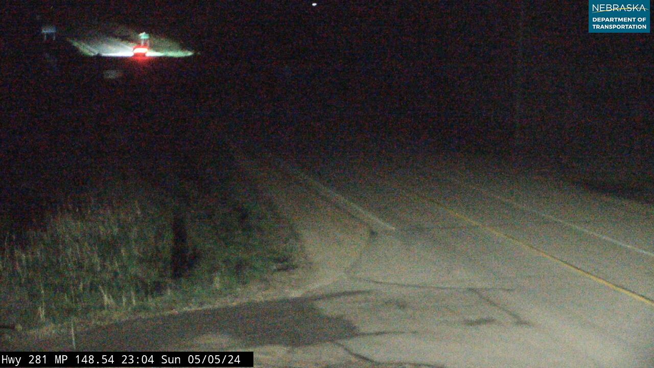 US-281 N of Bartlett — East
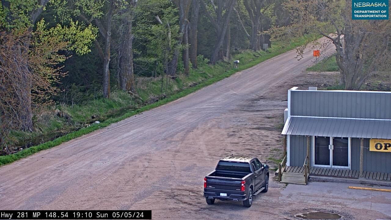 US-281 N of Bartlett — West
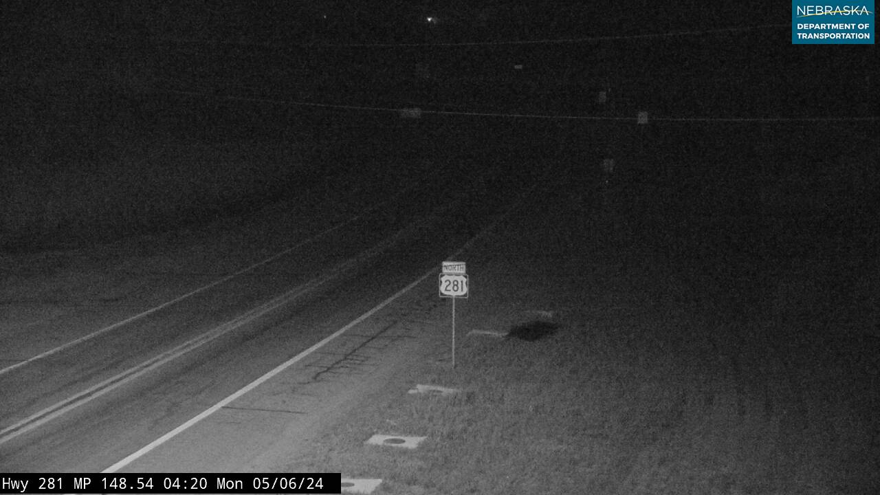 US-281 N of Bartlett — North
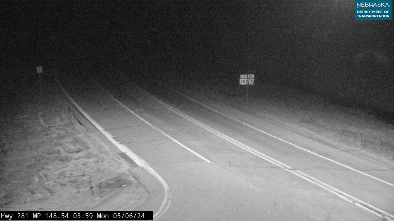 US-281 N of Bartlett — South
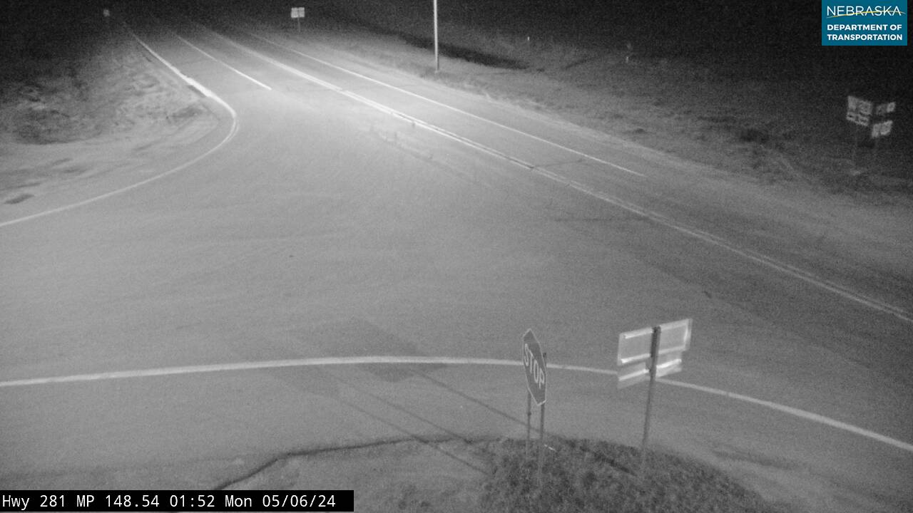 US-281 N of Bartlett — Intersection
South of Bartlett:
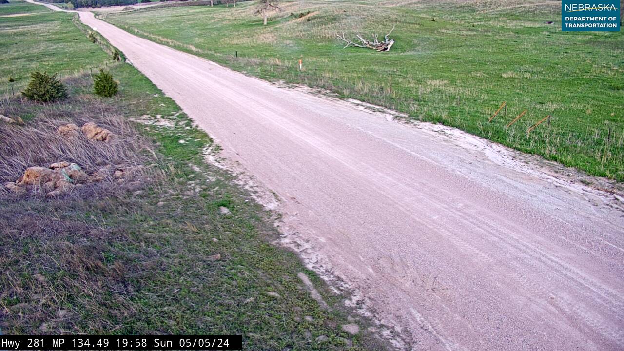 US-281 S of Bartlett — East
 US-281 S of Bartlett — West
 US-281 S of Bartlett — North
 US-281 S of Bartlett — South
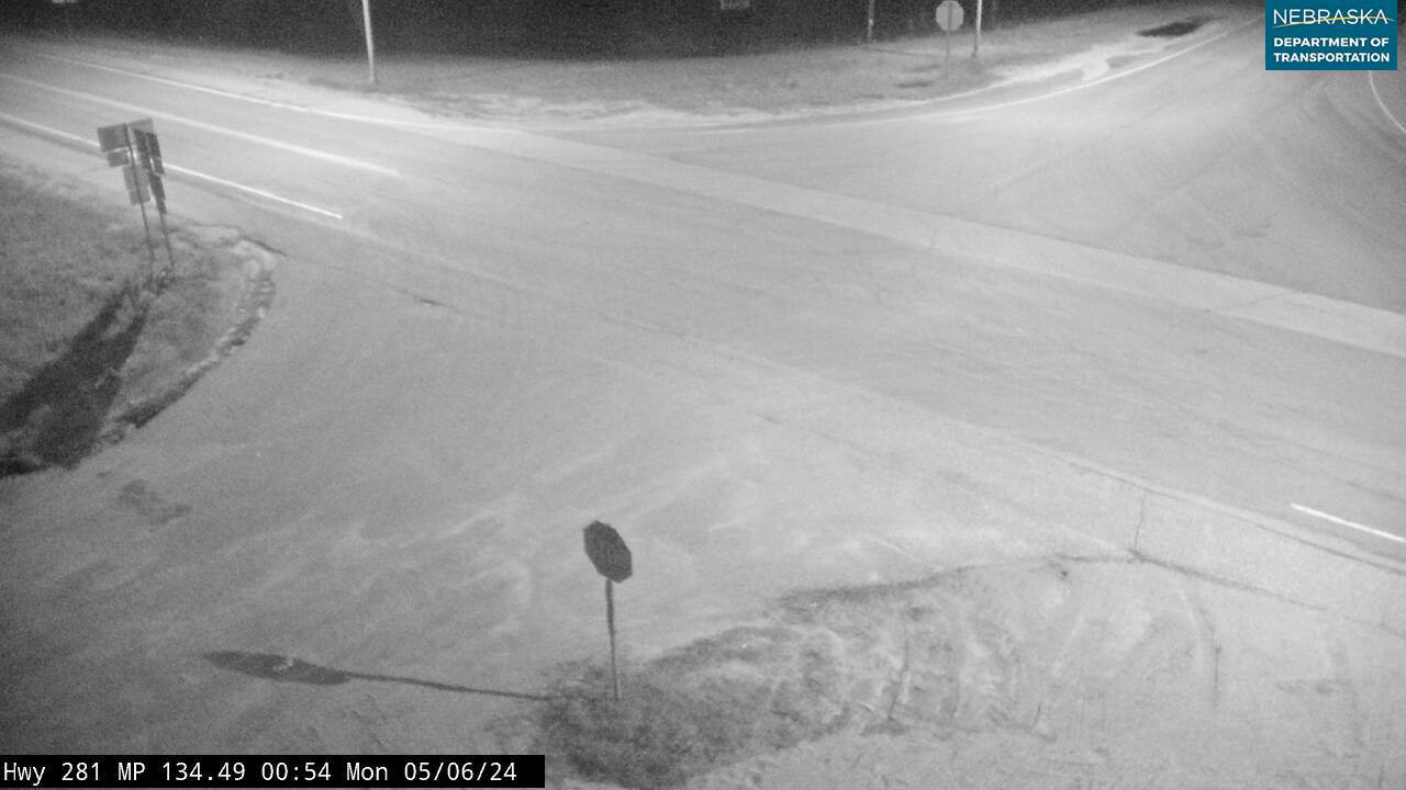 US-281 S of Bartlett — Intersection
Wheeler County
Explore more of Wheeler County. Other communities include Ericson and Cumminsville.
Bartlett Businesses & Places
25 listings in Bartlett.
Click a category to see the businesses.
Eat & Drink (1)
- Bibs & Boots Cafe — Cafe / Coffee Shop
Outdoors & Recreation (1)
- Pibel Lake Recreation Area — Campgrounds & RV Parks
Places to Visit (2)
- Mignery Sculpture Garden — Attraction
- Wheeler County Historical Society Museum (Former Wheeler County Courthouse) — History & Heritage Museums
Events & Venues (1)
- Wheeler County Fairgrounds — County Fair
Government & Resources (13)
- Bartlett Post Office — Post Office
- Village of Bartlett — City Hall
- Wheeler County Assessor — County Assessor
- Wheeler County Attorney's Office — County Attorney
- Wheeler County Clerk — County Clerk
- Wheeler County Court — County Court
- Wheeler County Courthouse — Court House
- Wheeler County Driver License Office — County Driver License
- Wheeler County Emergency Management — Emergency Management
- Wheeler County Mobile Food Distribution — Mobile & Pop-Up Food Distribution
- Wheeler County Sheriff — County Sheriff
- Wheeler County Treasurer — County Treasurer
- Wheeler County Weed Superintendent — County Weed Control
Education (3)
- Wheeler Central Elementary #45 — Elementary & Middle School
- Wheeler Central High — High School
- Wheeler Central Schools — School District (K-12 / General)
Community & Faith (2)
- Bartlett Cemetery — Cemeteries
- Rosedale Cemetery — Cemeteries
Professional Services (1)
- Cornerstone Insurance Group — Insurance
Automotive (1)
- Plugge's Rod Shop — Auto Repair