
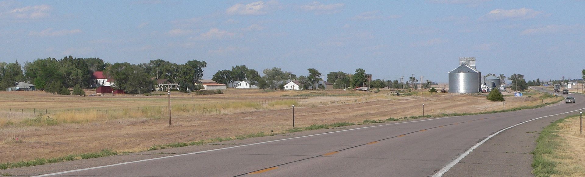
Village · Sheridan County · Population 38 (2020 census) · ZIP 69343 · Founded 1885 · Peak population 157 (1930)
About Clinton
Clinton is a village of 38 (2020) on the north side of US 20 in Sheridan County, about 7 miles east-northeast of Rushville and 8 miles west-southwest of Gordon, at about 3,744 feet. It has no post office; mail goes through Gordon (69343). The Cowboy Trail's 16-mile western segment between Rushville and Gordon passes the village on the old railroad grade. Clinton is on Mountain Time.
History
A colony settled here in 1885. Abel Love proposed the name Moulton, but another Nebraska town had it, so the settlers named it for Clinton, Iowa. The post office opened on August 4, 1885, and the county's first jury trial was held here that year. Clinton was eliminated in the first round of the county-seat election on September 8, 1885. It was a flag station on the Fremont, Elkhorn & Missouri Valley (later Chicago & North Western); the Pioneer Town Site Company platted it in 1894, and it was incorporated as a village in 1920. At its peak of 157 people in 1930 it had stores, a drug store, an ice plant, a village light plant, a brick high school and a 50-piece band led by banker Ray G. Lyon. Cars, paved roads and wartime jobs drew people away; the post office closed in 1960 and the railroad in 2006.
Highways and trails through Clinton
| Route | One way | Other way |
|---|---|---|
| US 20Along the south edge of the village | West to Rushville | East to Gordon |
Nearby towns
| Rushville | about 7 mi west-southwest | US 20 |
| Gordon | about 8 mi east-northeast | US 20 |
| Hay Springs | about 18 mi west-southwest | US 20 |
| Whiteclay | about 19 mi north-northwest | US 20 and NE 87 |
| Pine Ridge, South Dakota | about 21 mi north-northwest | US 20 and NE 87 |
| Chadron | about 34 mi west | US 20 |
Things to see
the Cowboy Trail on the old Chicago & North Western grade, 16 miles between Rushville and Gordon
Schools and health care
Schools: Students attend Gordon-Rushville Public Schools
Health care: Nearest hospital: Gordon Memorial in Gordon, about 8 mi; clinic in Rushville
Sources: U.S. Census; Wikipedia; Who's Who in Nebraska, Sheridan County (1940); NEGenWeb Sheridan County (Evans and Manion accounts, Perkey data); Nebraska State Gazetteer (1890); Fitzpatrick, Nebraska Place-Names; History Nebraska and its markers; National Register nominations; Nebraska Game and Parks; Nebraska Department of Transportation; Nebraska Emergency Management Agency; U.S. Bureau of Reclamation; Sheridan County; Sheridan County Historical Society; Visit Sheridan County; Visit Nebraska; Gordon-Rushville Public Schools; Hay Springs Public Schools; Sheridan County Journal Star; Nebraska Examiner; Nebraska Public Media; Clint D. Andersen, Potash (2003). Distances marked "about" are straight-line estimates.
Navigate & Explore Clinton
Get directions to Clinton: Waze → · Google Maps → · Apple Maps →
Nearby businesses: Find businesses within 20 miles of Clinton →
Road conditions: Nebraska 511 — 511.nebraska.gov
Cameras: View Sheridan County cameras →
Travel corridor: US 20 Corridor →
Clinton Businesses & Places
1 listings in Clinton.
Click a category to see the businesses.
Government & Resources (1)
- Village of Clinton — City Hall