

Village · Boyd County · Population 70 (2020 census) · ZIP 68719 · Founded 1902 · Peak population 255 (1920)
About Bristow
Bristow is a village of 70 on NE 12 in eastern Boyd County, about 6 miles west of Lynch and 9 miles east of Spencer. It has a bank, a post office, a pub and grill, and Bristow Park with RV camping.
History
Bristow is named for Benjamin H. Bristow, Secretary of the Treasury under President Grant; postmaster Charles Brooks chose the name. The first post office was in a store west of the present town, opened in 1890 by local accounts or on November 24, 1891, by state records. When the railroad came in 1902 the town was laid out on the line, and the railroad built a depot, section house, stockyards and gravel pit. Before that, supplies came overland from Iron Post Landing on the Missouri. The population peaked at 255 in 1920.
Floods struck in 1891 and again in 1905, after a cloudburst. The Bristow Boomer was the town newspaper. In 1912 Dr. Diers struck out 31 batters in a 19-inning baseball game against Meek. A two-story school was built in 1913, and the high school merged with Lynch in 1960. The Rosedale Evangelical Covenant church (organized 1891), the Lutheran church (1894, later Trinity Lutheran) and the Methodist church (1907) served the area.
Read the full History of Bristow →
Highways and trails through Bristow
| Route | One way | Other way |
|---|---|---|
| NE 12East–west through Bristow | West to Spencer (about 9 mi) | East to Lynch (about 6 mi) |
Nearby towns
| Lynch | about 6 mi east | NE 12 |
| Gross | about 8 mi north | Gravel roads |
| Spencer | about 9 mi west | NE 12 |
| Monowi | about 13 mi east | NE 12 |
| Butte | about 18 mi west | NE 12 |
Things to see
Bristow Park, with RV camping · Trinity Lutheran Church and Bristow United Methodist Church
Schools and health care
Schools: Boyd County Public Schools; elementary campuses in Lynch and Butte, middle and high school in Spencer
Health care: Nearest hospital Niobrara Valley Hospital, Lynch (about 6 mi); Avera clinic in Spencer (about 9 mi)
Sources: U.S. Census; Wikipedia; NEGenWeb Boyd County histories; History Nebraska; Nebraska Department of Transportation route mileposts. Distances marked "about" are estimates.
Bristow Area Cameras
Navigate & Explore Bristow
Get directions to Bristow: Waze → · Google Maps → · Apple Maps →
Nearby businesses: Find businesses within 20 miles of Bristow →
Road conditions: Nebraska 511 — 511.nebraska.gov
Cameras: View Boyd County cameras →
Travel corridor: NE 12 Corridor →
Bristow Businesses & Places
14 listings in Bristow.
Click a category to see the businesses.
Eat & Drink (1)
- Ponca Pub & Eatery LLC — Bar & Grill
Stay (1)
- Bristow Park — RV Park
Shopping & Gifts (1)
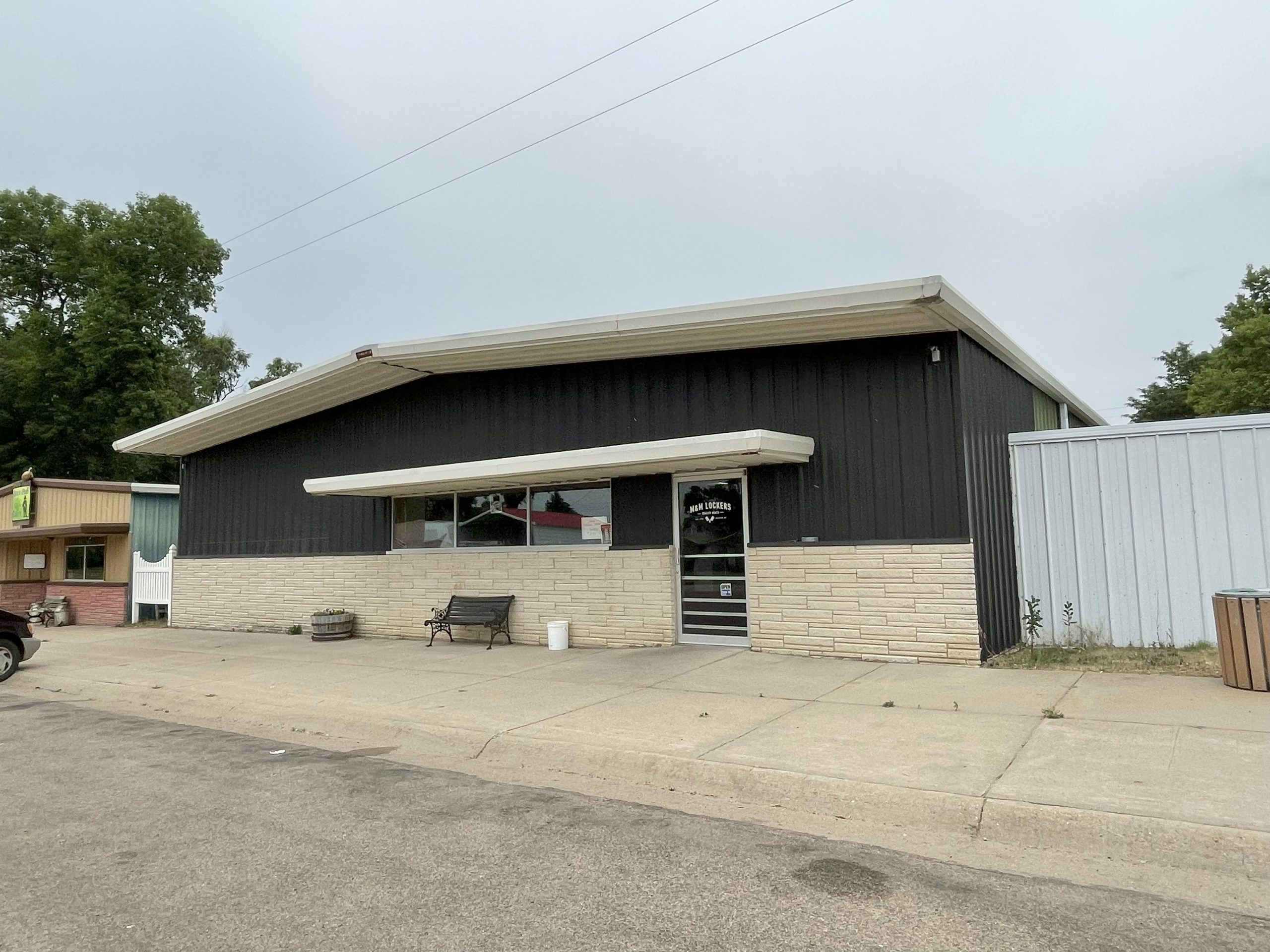
- M & M Locker — Butcher Shop
Community & Faith (5)
- Bristow Cemetery — Cemeteries
- Bristow UMC — Methodist Church
- Rosedale Covenant Cemetery — Cemeteries
- Trinity Lutheran Cemetery — Cemeteries
- Trinity Lutheran Church — Lutheran Church
Automotive (1)
- B&R Tires 'N' More — Tire Shop
Government & Resources (1)
- Bristow Post Office 68719 — Post Office
Land & Property Services (1)
- Holmberg Tree Shearing — Land Clearing & Brush Removal
Professional Services (1)
- Nebraska State Bank — Banking
Agriculture & Farm (1)
- T&S Farmstore and Food Coop — Farm Coop
Utilities (1)
- Village of Bristow — Water Utility / District